
Survey & mapping
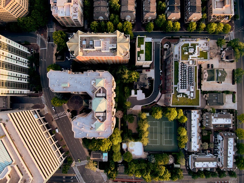
Capture imagery for orthomosaics, terrain models and land administration.
Positioning for precision
Review weather and operating requirements, collect field checks, then validate the processed outputs.
A modular approach
Choose your sensor around the mission, with payload integration reviewed by the NiVO team.