FIELD NOTES & DOCUMENTATION
Documentation
Explore product references, field imagery and practical guides to planning an aerial mapping workflow.
Workflow guide
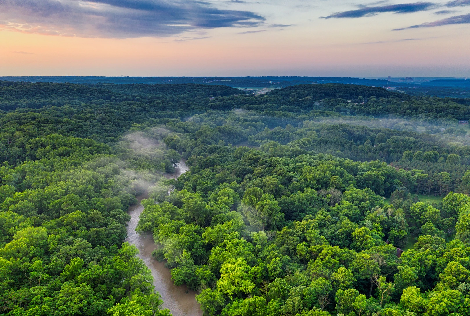
Plan your mapping mission
Start with the deliverable, then define the survey area, resolution, flight height and field checks.
Read guide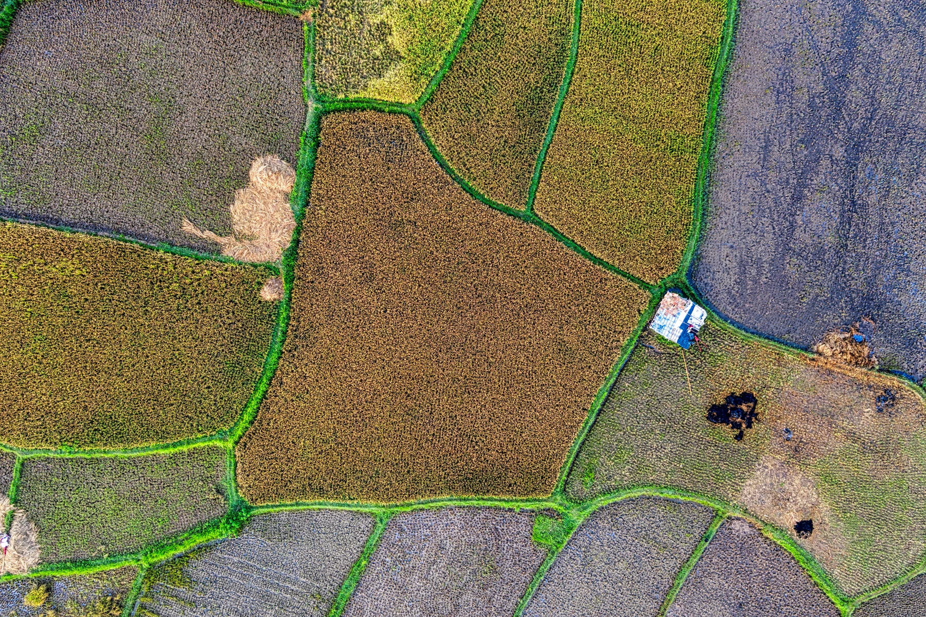
Workflow guide
Choose the right payload
Match the sensor, lens, mounting and aircraft capacity to the data required by your project.
Read guide
Workflow guide
From imagery to geospatial data
Connect image acquisition with processing, quality control and delivery in the TechnoGIS ecosystem.
Read guideReference
NiVO VTOL V2 · TechnoGISInstagram · @technogis.idnNiVO VTOL V2 · Geo-matchingNiVO VTOL V5 Pro · Geo-matchingNiVO VTOL V7 Pro · Geo-matchingProduct brochure