
RGB imaging
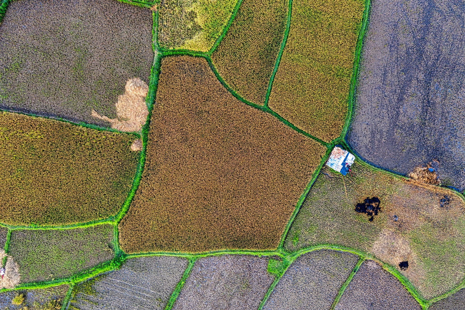
Capture imagery for orthomosaics, terrain models and land administration.
Multispectral
Connect crop imagery and vegetation analysis with field decisions.
LiDAR
Observe canopy cover, terrain and landscape change.
Review the configuration
Confirm payload mass, balance, power, mounting and data workflow with the NiVO team. Aircraft compatibility, mounting, power and triggering are reviewed for each payload configuration.