
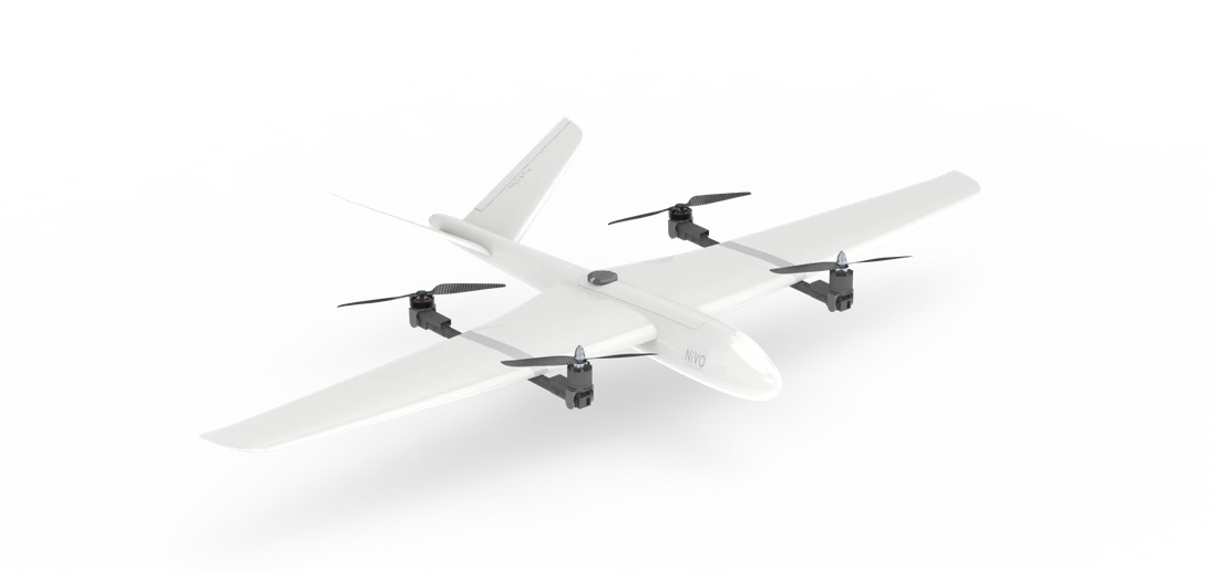
 V2
ENGINEERED FOR A BIGGER PICTUREA new perspective.
A new perspective.
A greater reach.
Professional VTOL drones for mapping, inspection and the next generation of geospatial intelligence. Built by TechnoGIS.
NiVO VTOL V7 PRO
++07° 43′ S 110° 24′ E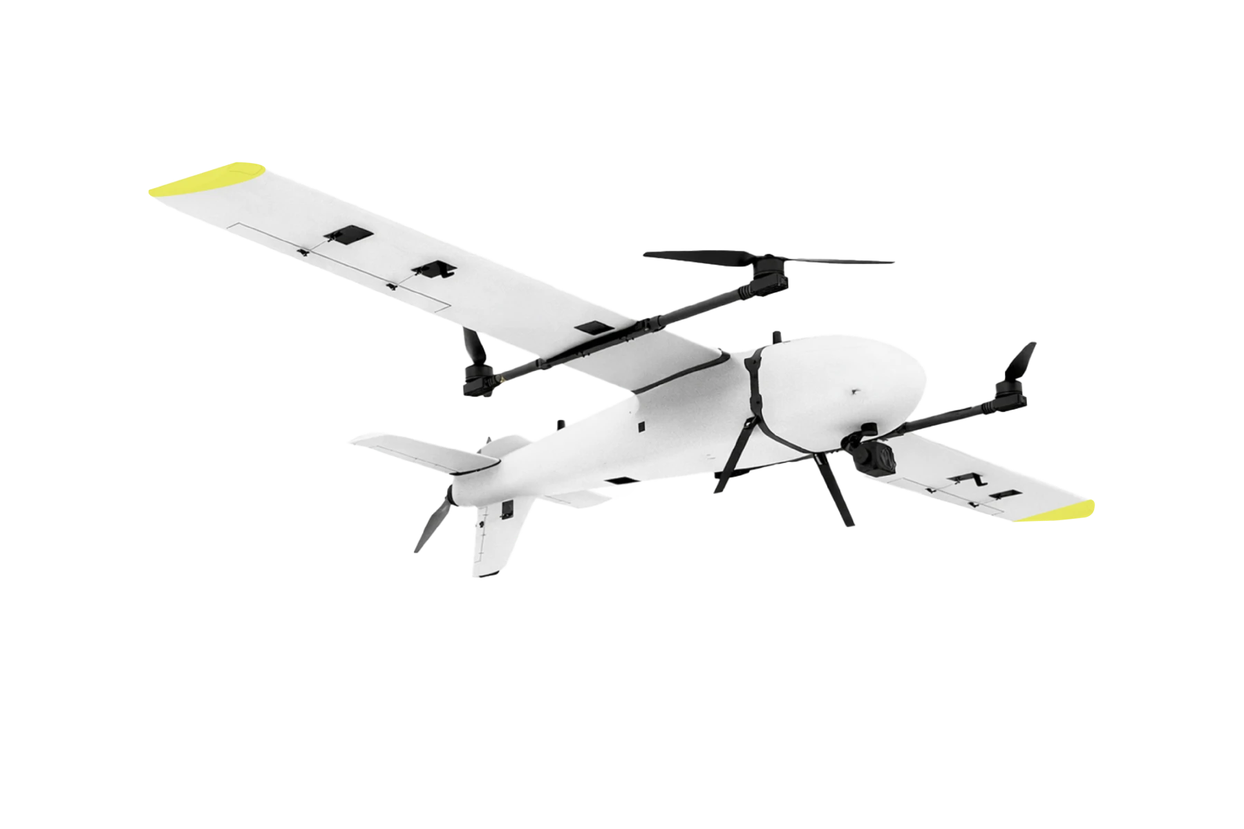
VTOL / FIXED-WINGV7 PRO
VERTICAL FREEDOM.
FIXED-WING EFFICIENCY.
FIXED-WING EFFICIENCY.
Up to230 min
Flight endurance
Up to5.0 kg
Payload capacity
V7 PRO3.2 m
Wingspan
01 / MATERIAL & DESIGN
MATERIAL & DESIGNLight by design.
Light by design.
Strong in the field.
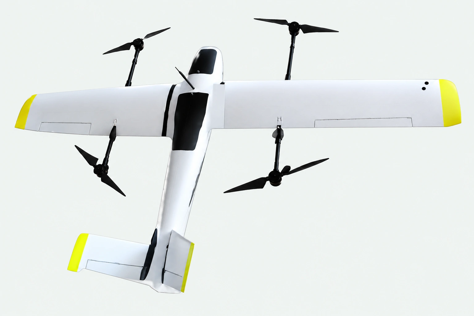
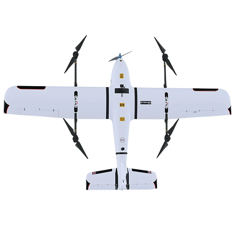
EPO airframes with fiber reinforcement combine a lightweight structure with the strength needed for professional field operations. Materials vary by model.
01
Vertical take-off & landing
Launch vertically, transition to efficient fixed-wing flight, and return without a runway.
02
Positioning for precision
RTK/PPK configurations support your georeferencing workflow. See each aircraft specification.
03
A modular approach
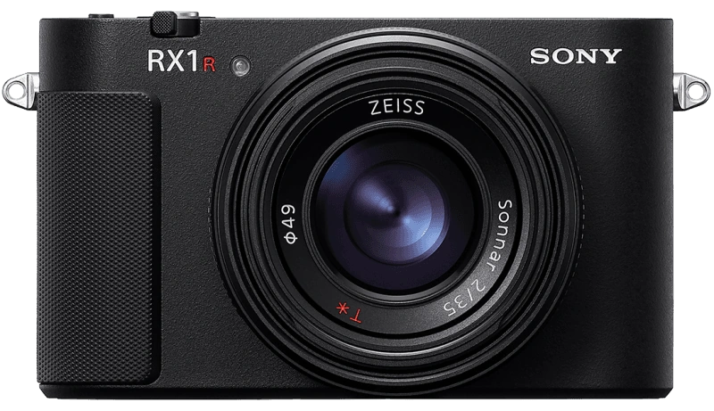
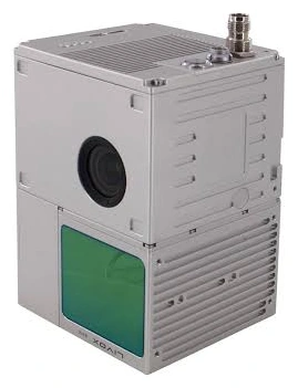
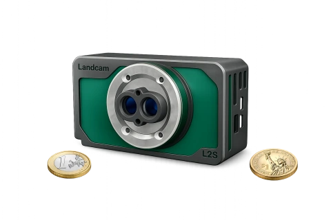
Choose your sensor around the mission, with payload integration reviewed by the NiVO team.
PRECISION AGRICULTURE
Meet NiVO Agrios.
A dedicated agricultural drone family for field spraying, with tank options to match your operation.
Explore product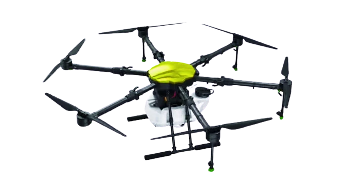 NiVO
AGRIOS
APPLICATIONSFrom flight to
From flight to
real-world decisions.
01
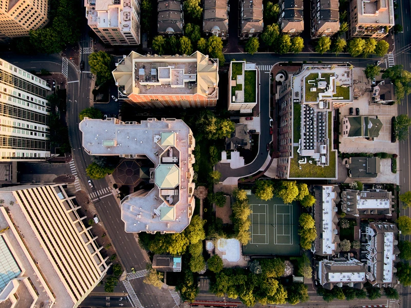
Survey & mapping
Capture imagery for orthomosaics, terrain models and land administration.
02
Forestry & environment
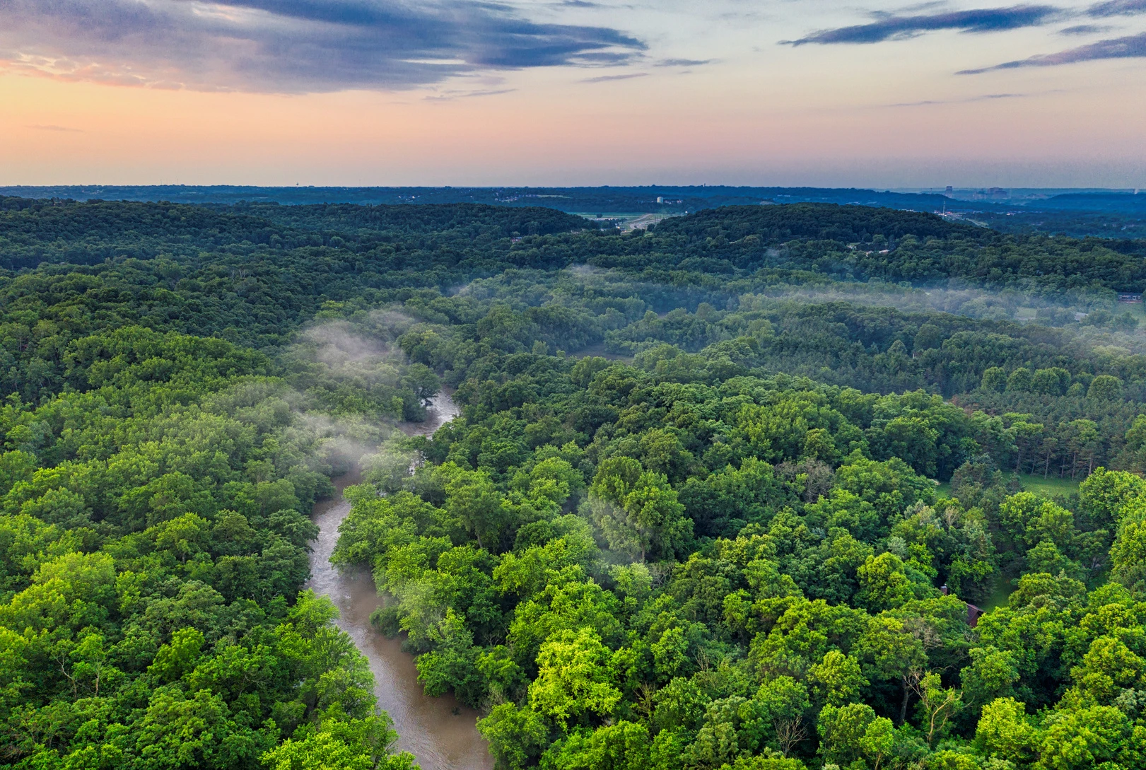
Observe canopy cover, terrain and landscape change.
03
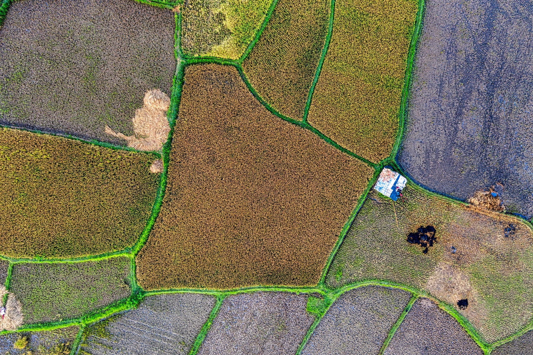
Precision agriculture
Connect crop imagery and vegetation analysis with field decisions.
04
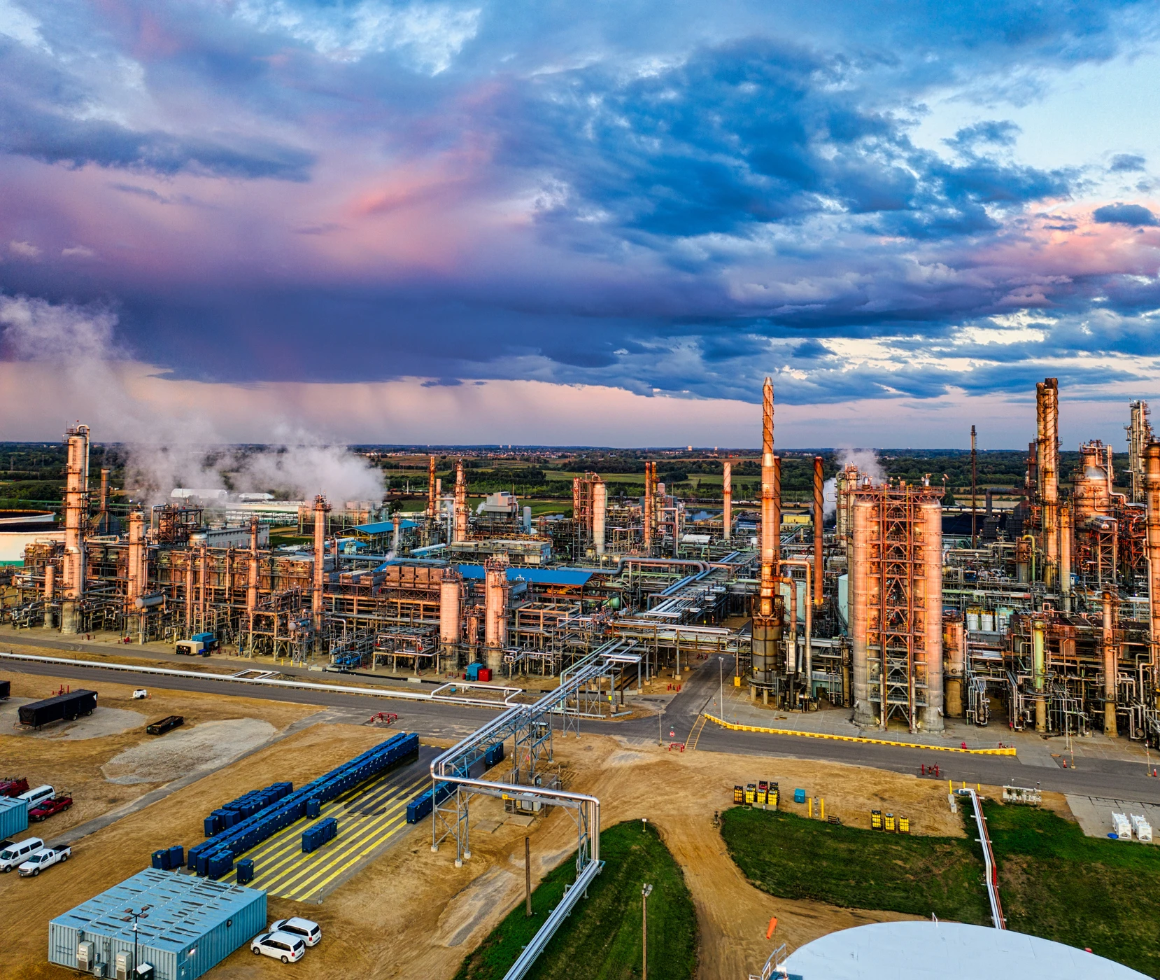
Infrastructure & corridors
Acquire aerial data for site planning and infrastructure monitoring.
Technology ecosystem
Flight control, precision positioning and imaging technologies for your next mission.








FIELD NOTES & DOCUMENTATION
Knowledge for every mission.
Explore product references, field imagery and practical guides to planning an aerial mapping workflow.
Workflow guide
Plan your mapping mission
Start with the deliverable, then define the survey area, resolution, flight height and field checks.
Read guideWorkflow guide
Choose the right payload
Match the sensor, lens, mounting and aircraft capacity to the data required by your project.
Read guideWorkflow guide
From imagery to geospatial data
Connect image acquisition with processing, quality control and delivery in the TechnoGIS ecosystem.
Read guide