Repeat Drone Surveys in Mining: Keeping Periodic Data Comparable
Maintain consistent references, boundaries, timing, surface definitions, and checks so mining progress and volume changes are not confused with survey differences.
Define the monitoring question
Recurring mine surveys can support progress documentation, stockpile inventory, landform change, or work coordination. Each needs a clear observation and product definition. Specify area, period, objects, and relevant changes. Distinguish visual records from elevation or volume measurements. Where outputs support particular technical decisions, agree appropriate quality and testing with responsible project personnel. A colour difference is not automatically a material change. A clear monitoring plan selects useful timing and comparable methods while identifying conditions that can limit interpretation, so the result addresses an actual operational question rather than merely producing another attractive map.
Maintain one reference framework
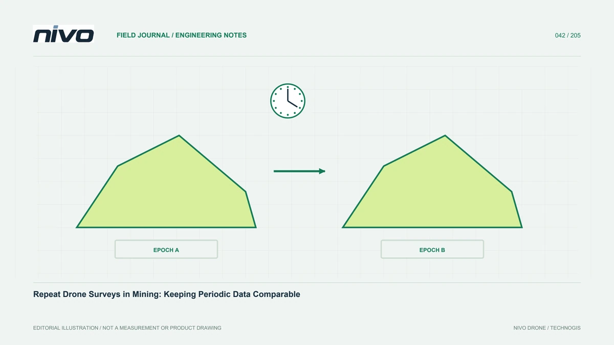
Comparison between dates requires consistent coordinates, units, and height references. A small model-wide shift can resemble elevation or volume change over a large area. Preserve the control framework and its history. Check stable references outside changing operations and use independent checkpoints where needed. Document replacement benchmarks and their relationships if earlier points disappear or move. Do not rely on visual alignment alone. Reference consistency is fundamental to separating physical change from differences in dataset placement, which can otherwise become difficult to distinguish once results are summarised in a progress report.
Record capture time and ongoing activity
Mining sites change as machinery and material move. The survey interval affects how one product represents conditions. Coordinate with site management and follow operating rules and equipment documentation. Record active work, inaccessible areas, and known changes during capture. If blocks come from different dates, show their distribution in metadata. This matters when products are compared with production records or another measurement. A single mapped image need not be a simultaneous site-wide record. Explain its time relationship before users interpret differences as if all observations represented exactly the same moment.
Define ground, material, and temporary objects
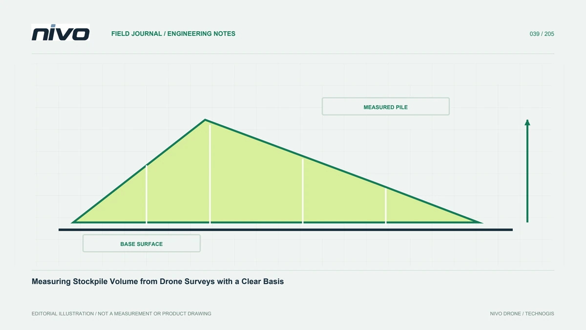
Vehicles, temporary buildings, vegetation, water, and moving material can enter a surface model. Establish which belong in the requested quantity. Keep classification and filtering consistent for topographic comparison, and retain pile boundaries and bases for stockpile work. Do not remove objects differently between periods without documenting the effect. Inspect profiles where large change appears and confirm it is not a gap or interpolation artefact. A consistent surface definition lets users understand whether results describe material, structures, or a mixture, rather than treating every observed upper surface as the same analytical object.
Test difficult slopes and surfaces
Steep slopes, benches, dust, shadows, and uniform materials can reduce observational support. Review viewpoints and coverage before fixing capture settings. RGB and LiDAR differ and should be tested in project conditions. Identify unobserved areas and consider supplementary methods rather than silently completing geometry. For repeat surveys, record weather and light where they affect quality. Use approved procedures, and check that difficult locations are not assumed equivalent to easy open ground. The distinction helps explain why a sensor can produce an extensive model while particular benches or obstructed faces still require additional evidence.
Compare compatible grids and valid areas
Raster differencing requires compatible position, cell size, grid orientation, height reference, and valid coverage. Missing cells must not be treated as zero elevation. Define the treatment of areas available on only one date. Inspect stable surfaces for bias before interpreting all differences as physical change. Preserve resampling settings and source versions. Volume work also needs explicit boundaries and base surfaces. A repeatable analysis explains why numbers change after a correction and prevents periodic reporting from depending on undocumented settings that vary between processors or reporting dates.
Run quality checks in every period
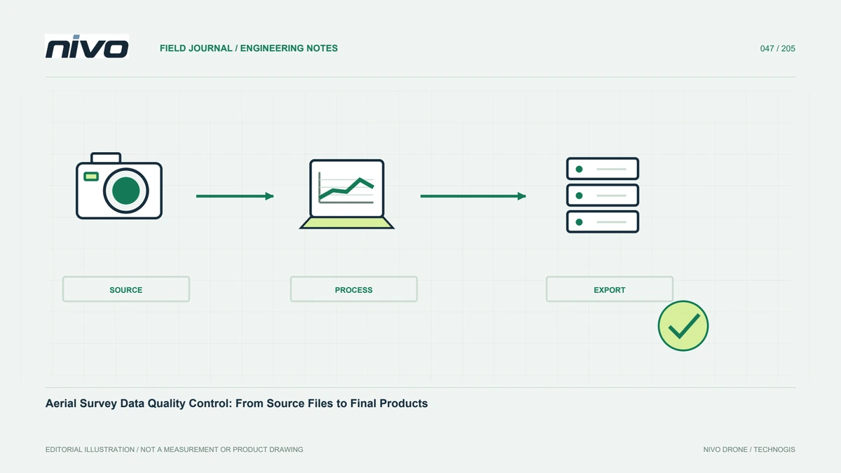
A successful earlier survey does not prove equal quality in the next session. Check capture completeness, references, block joins, and checkpoints every time. Use consistent summaries so quality trends can be compared. Where requirements are not met, identify the area and decide on recapture or limited use. A uniform report design should not conceal uneven evidence. Small changes must be interpreted alongside uncertainty in both dates. These checks distinguish a supported difference from a pattern the available data cannot assess confidently, improving the credibility of recurring monitoring rather than merely its frequency.
Control versions used in reports
Give periods, blocks, and revisions explicit identities across primary data, corrections, and reports. Preserve relationships between images or trajectories, clouds, elevation models, and analyses. Do not overwrite a product already used for decisions without a revision note explaining what changed. Keep an index of approved outputs for each period and define distribution responsibilities. This reduces the chance of comparing a new model against an old raster that has already been replaced. Version traceability also supports later review of the exact methods and evidence available when an earlier progress figure was issued.
A monthly monitoring package
A recurring package can contain visual mapping, elevation, valid coverage, checkpoint results, change against the prior period, and special-condition notes. For piles, retain agreed boundaries and bases or explain their revision. Show blocks captured at different times. Provide a management summary while preserving technical evidence. A NiVO configuration with a suitable payload supports repeat observation, but comparability comes from references, definitions, and testing. Users should be able to distinguish what changed on site, what changed in processing, and which areas require further examination before a conclusion is justified.
Illustrative scenario: comparing mine surfaces captured on different days
Imagine a hypothetical recurring mine survey where weather interrupts capture after one block is finished. The remaining blocks are collected later, while material handling continues between sessions. Management requests one progress map for the reporting period. The coordinator does not simply merge the blocks and describe them as one simultaneous observation. Capture intervals and boundaries are recorded, and site activity notes identify locations that may have changed during the interruption. Stable references are checked to distinguish coordinate differences from actual surface change. Each block retains a source identity so its time and processing history remain recoverable in the combined product.
The team considers whether a visual progress overview is sufficient or whether a particular volume comparison needs observations tied to a more closely defined time. That distinction determines where further work or a limitation is necessary. Surface roles, stockpile boundaries, and base versions remain consistent where comparison is intended. Grid alignment and valid overlap are checked before any elevation subtraction. NoData is not treated as zero, and vehicles or temporary objects are handled under documented rules rather than removed differently from each date merely to make the maps look comparable.
The delivered report includes a time-coverage map and identifies which comparisons are supported, provisional, or not appropriate. Independent checks describe the quality of the relevant sessions instead of extending an earlier successful survey automatically. A recipient can see whether a reported difference concerns the site, capture timing, or processing revision. This hypothetical case keeps periodic reporting useful while preventing a tidy merged map from hiding temporal inconsistency. It also provides a practical basis for scheduling the next survey and coordinating material movement when more strictly comparable observations are required.