Measuring Stockpile Volume from Drone Surveys with a Clear Basis
Define stockpile boundaries, base surfaces, grids, missing observations, and quality checks so volume results can be repeated and compared without hidden assumptions.
Define the quantity being reported
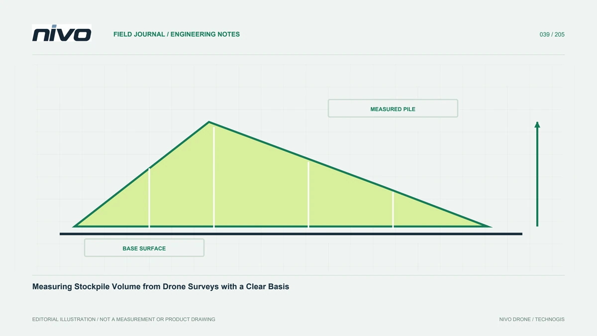
A stockpile calculation needs an object, boundary, observation time, and comparison surface. Without agreement, two teams can produce different numbers from the same data because they are measuring different things. Establish whether the task concerns one pile, change between dates, or difference from a design surface. Identify retaining walls, sloping floors, and merged piles. Volume describes space, not automatically material mass. If users need tonnage, its conversion factor must come from appropriate material evidence and be reported separately. Drone geometry should not be presented as equivalent to weighing without explaining the assumptions connecting those quantities.
Choose the base surface first
Base definition often drives large differences. Options include a floor survey made before stacking, an interpolated surface from the pile edge, an agreed plane, or another suitable reference. Each has assumptions: a plane may misrepresent an uneven floor, while edge interpolation cannot reveal buried shape. Preserve the base as a separate file and explain its selection. If adequate information is unavailable, state the limitation and consider additional measurement. More photographs of the pile top cannot remove uncertainty in an unseen base, so direct improvement towards the information that most affects the calculation.
Capture the complete pile geometry
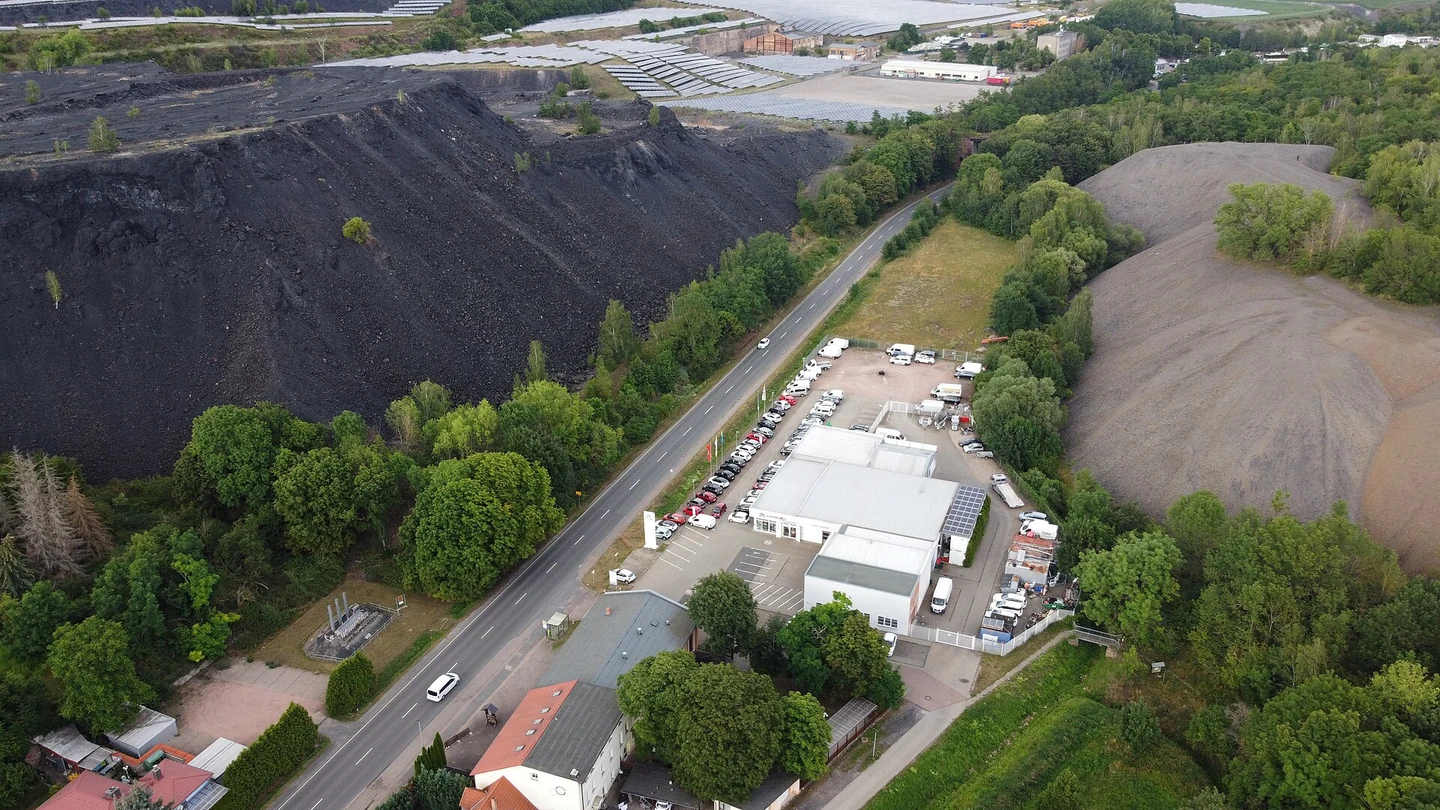
Acquisition should observe the top, sides, toe, and surrounding context. Walls, buildings, and neighbouring piles can obscure parts of the surface. Determine whether safe viewpoints provide sufficient coverage or a supplementary method is needed. Coordinate with the operator to limit or document material movement during capture. Review dust, shadows, texture, and moving objects in imagery. For LiDAR, assess observation support on steep sides. A closed-looking preview does not prove completeness; inspect interpolated or unmeasured sections before including them in a numerical result that users may treat as fully observed.
Make boundary selection repeatable
The boundary determines which area enters the calculation. Define a consistent rule for the pile toe, particularly where material merges with the floor or another stockpile. Preserve the polygon with pile identity and date. Avoid freely redrawing it for each survey without checking the effect. For recurring work, distinguish a boundary following the current pile from a fixed comparison zone; both are useful but answer different questions. Include an annotated map so recipients can see what was counted. Clear boundaries make discussions about differences more productive than comparing final numbers with no spatial explanation.
Check grids and missing cells
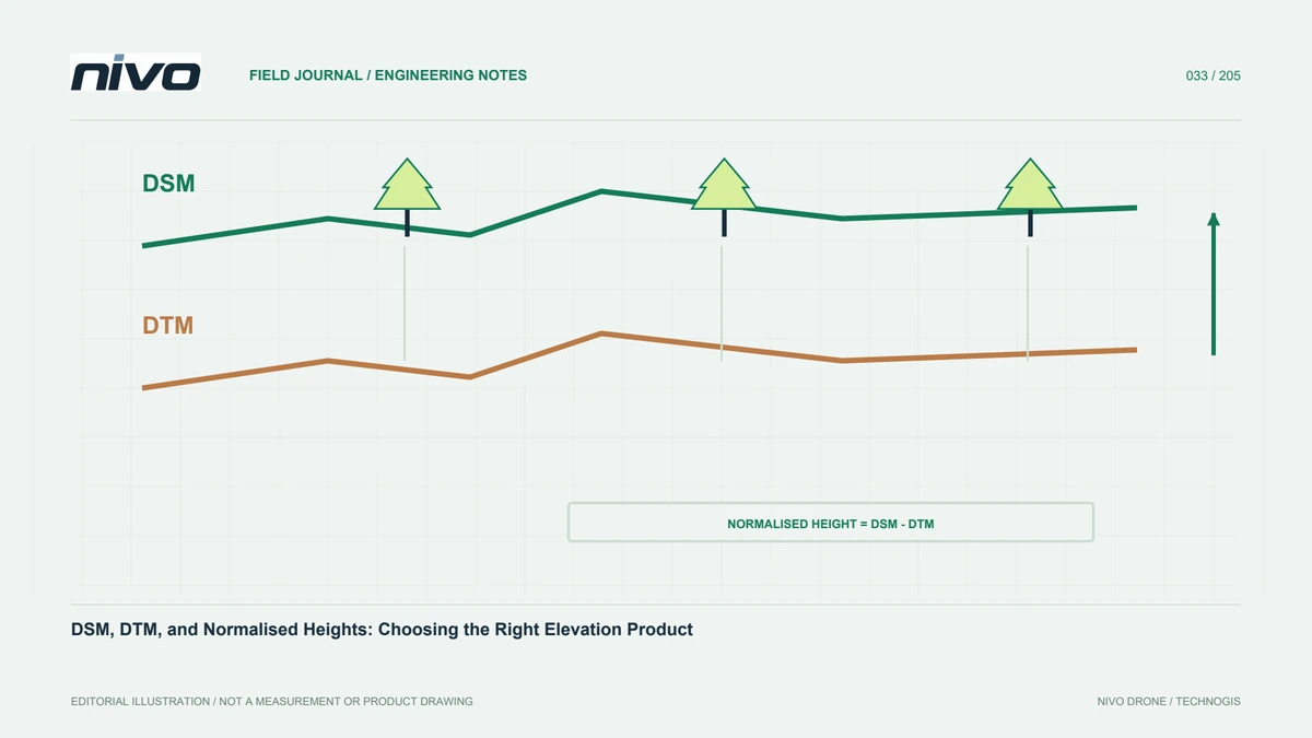
Grid-based methods accumulate contributions from height differences where suitable surface values exist. Cell size, alignment, and treatment of empty cells influence results. Finer grids are not automatically better when observations are sparse or the base is incomplete. Review the area actually calculated and any interpolated portions. CloudCompare's 2.5D volume documentation explains the importance of surface roles and valid cells. Evaluate suitability for overhangs or shapes that cannot be represented by a single height at each horizontal location. A software-generated number is meaningful only when the method's geometric assumptions fit the stockpile and available evidence.
Separate material from site disturbances
Vehicles, conveyors, people, vegetation, and nearby structures may enter a surface model. Define their treatment and preserve editing history. Removing an object without reviewing the surface underneath can leave an incorrectly filled gap. Use source photographs and field notes for ambiguous areas. Material moving during capture can produce a model combining different states. Record the survey interval and known activity. Operational coordination and documented changes often improve repeatability more than repeatedly altering processing parameters after an unstable scene has already been captured. Explain how disturbances affect the particular pile rather than assuming their influence is negligible.
Test sensitivity to important decisions
Compare results under reasonable choices of base, boundary, or grid where the evidence permits. The purpose is identifying influential factors, not selecting the desired number. If a small boundary change has a large effect, show where and why. Inspect profiles across uncertain bases and obscured sides. Compare independent evidence where available while recognising its uncertainty too. Report assumptions separately from geometric results. This helps users decide whether the measurement supports inventory, planning, or oversight needs and directs further survey towards the uncertainty that matters most rather than towards cosmetic improvements in the model.
Deliver a traceable calculation report
Identify the pile, date, references, units, upper surface, base, boundary, method, and assessment. Include maps and profiles showing the relationship between surfaces. Preserve boundary files and settings for repetition. If tonnage is supplied, identify its material factor independently of volume. Avoid excessive decimal places unsupported by source quality. Use a consistent recurring-report structure so changes can be interpreted without reconstructing each period's method. The main dataset and concise report serve different purposes: together they allow recipients to inspect a result rather than accept an isolated figure whose observational basis is unknown.
A pile on a sloping floor
Use an existing floor survey or design a defensible base measurement for a pile on sloping ground. Evaluate whether a simple plane would systematically add or remove space. Review obstructed sides, define the toe, and inspect representative profiles. Once accepted, retain the agreed base and boundary rules for later periods, documenting any justified revision. Discuss a NiVO RGB or LiDAR configuration against actual site geometry and conditions. Equipment supports capture, while reliable volume still depends on the base, boundary, surface completeness, and checks carried through the complete workflow from field observations to reported results.
Illustrative scenario: a stockpile on an uneven base
Consider a hypothetical aggregate stockpile placed on an uneven paved yard. The client asks for its current volume, and the processor initially considers a flat base because that option is readily available in the application. Before calculation, the survey team reviews an earlier yard survey and confirms that the floor cannot reasonably be represented by one level plane. The pile boundary is also ambiguous where material spreads into an adjacent handling zone. Rather than calculate first and explain later, the team agrees which material belongs to the reported object and preserves that boundary as an identified polygon.
The available base survey is checked for reference compatibility, date, and relevant site changes. A second plausible base construction is used only as a sensitivity comparison, not as a way to choose a preferred answer. Reviewers inspect profiles through low and high parts of the yard and identify where the pile surface is poorly observed beside a wall. Missing support is not silently replaced to make the calculation appear complete. The team records the valid area, grid choices, surface roles, and any interpolation justified by the agreed method.
Acceptance includes the boundary, base source, upper-surface version, and a concise explanation of how those choices affect interpretation. If mass is requested, its material conversion is treated as separate evidence rather than an automatic property of the geometric model. The handover allows another analyst to repeat the calculation and see why a flat plane was rejected. This hypothetical case shows that improving the visible pile top does not resolve an uncertain base or object boundary, and that transparent assumptions can be more valuable than displaying additional decimal places in the final volume.