Planning a Drone Topographic Survey for Project Use
Connect intended use, cover, control, terrain modelling, supplementary observations, and handover so topographic drone products can be evaluated by the project team.
Identify the decisions the survey must support
Topographic data can support site overview, access planning, landform assessment, or engineering work with different requirements. Do not start with a contour-map request alone. Ask what details, positional quality, priority areas, and ground information users need. Establish whether results are preliminary or must be integrated with other survey before design use. Clear purposes determine products, references, validation, and effort. Drone capture expands ways to observe surfaces but does not remove the need to define quality and limitations. Agreement at this stage gives both operator and recipient a practical basis for judging whether the final information is fit for its intended task.
Understand ground visibility and cover
An orthomosaic supplies visual context, while terrain analysis requires a suitable representation of the ground. Beneath vegetation or structures, photographs may not observe that surface. LiDAR can add opportunities, but ground-point support must still be assessed. Distinguish open areas, dense cover, water, cliffs, and facilities during reconnaissance. Identify likely supplementary measurements. Camera resolution or total cloud density alone does not establish terrain detail. Plan how completeness will be checked so users know whether the selected capture can answer their question or needs integration with more specific field observations.
Establish the project framework and references
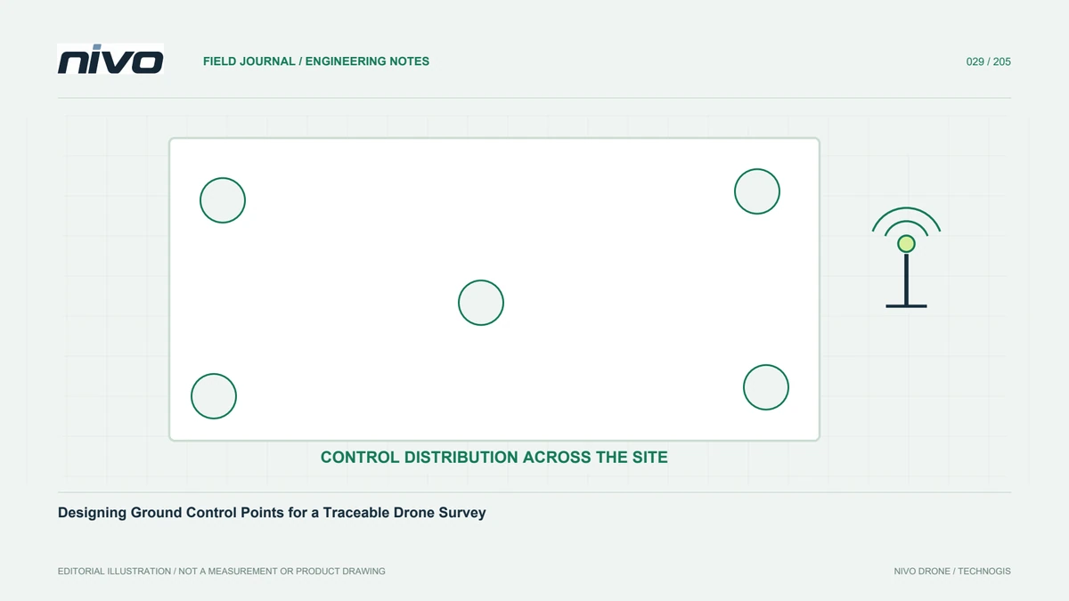
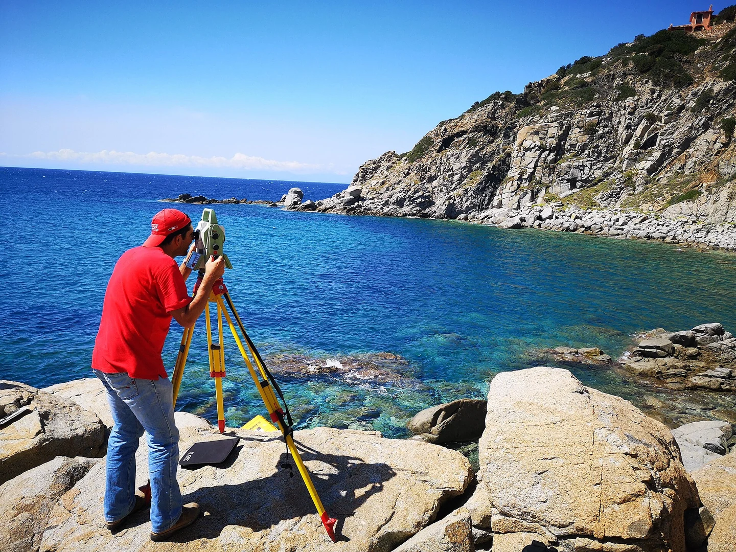
Horizontal coordinates and elevations must match the project reference. Check benchmarks, control networks, and design data for compatible definitions, and preserve the connection method. Design control or georeferencing around the configuration, with independent checkpoints to assess results. Distribute references against area shape and elevation range rather than concentrating them at easy access. Document measurement limitations and the conclusions they permit. A convincing model can still fail when combined with engineering or ground-survey information using another framework. Reference consistency must therefore be established before detailed products are created and interpreted.
Plan acquisition around relief
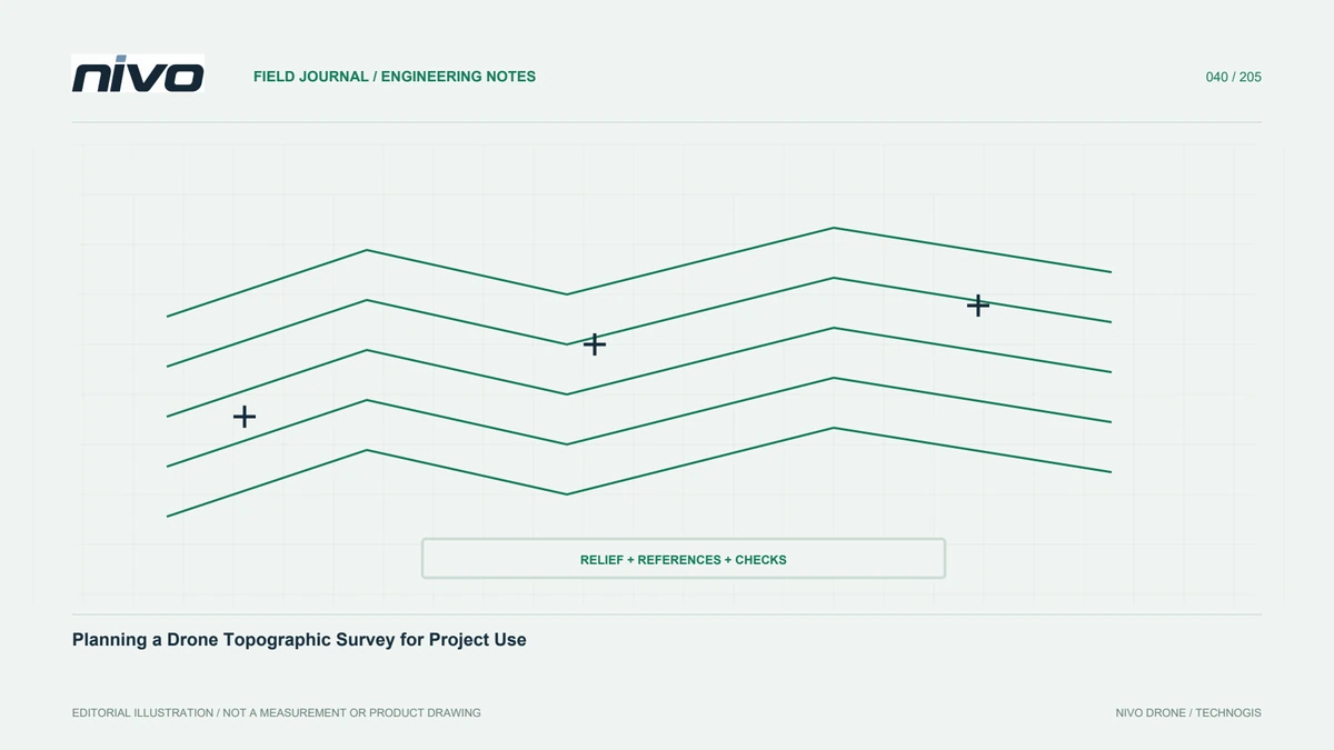
Terrain changes affect camera distance, image footprint, and surface visibility. Review elevation profiles and obstacles before choosing routes. Divide complex areas into controlled blocks where appropriate and preserve suitable edge support within permissions and the operating plan. For slopes, consider viewpoints that observe important shape while remaining within system limits. Record weather, light, and relevant site changes. Follow aircraft and payload documentation. Parameters should be based on a representative test and the project's requirements rather than copied from a survey with different relief, cover, access, or required detail.
Build terrain through explicit rules
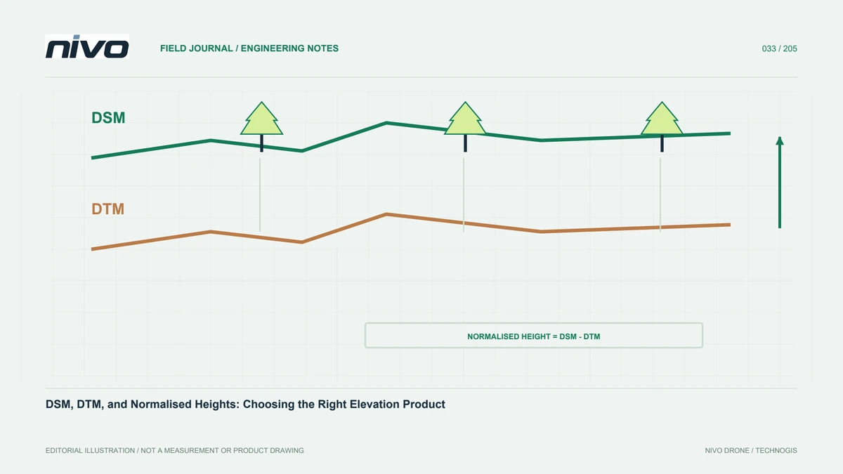
Explain which points are considered ground and how unobserved areas are handled. Review classification around cliffs, embankments, channels, low vegetation, and artificial structures. Preserve sources for breaklines or supplementary measurements. Select grid size from observational support and analytical purpose, not from a desire for the finest-looking raster. Inspect profiles where sharp forms matter so filtering and interpolation do not erase them. Do not disguise weak areas merely to make the model visually complete. A useful terrain product shows the limits of its support and gives recipients a way to recognise locations needing further verification.
Derive contours and slopes thoughtfully
Contours and slope maps inherit the assumptions and errors of their elevation source. Close contour spacing does not improve source accuracy. Choose intervals for data quality and purpose, then review flat areas, tile joins, and boundaries. For slope, check compatible horizontal and vertical units and understand the calculation method. Small raster artefacts can become prominent derivative patterns. Retain settings and source versions. If contours are generalised for display, distinguish them from analytical outputs so a recipient does not use a presentation layer as a substitute for the underlying elevation information.
Add information that aerial views cannot provide
Closed channels, buried utilities, structural underside elevations, and details beneath buildings should not be assumed available from surface imagery. Agree supplementary needs and suitable measurement methods with users. Drone context can help locate them without supplying every required attribute. At active sites, record changes after capture so a survey is not treated as indefinitely current. Coordinate feature names and identifiers with field staff. Planned integration allows air and ground information to complement each other, while preventing attributes from being filled with guesses that cannot be traced to an actual observation.
Assess and package the results
Compare models with suitable independent references, review completeness, and map unresolved issues. Report resolution, assessed accuracy, and method separately. A package may contain terrain, orthomosaic, contours, valid coverage, test points, and methodology. Check formats and references in the recipient's application. Include a file index and version status so previews are not confused with accepted outputs. Agree acceptance criteria before work begins and provide an opening example. Handover succeeds when users can inspect and apply the data with a clear understanding of its evidence, rather than needing the original processor to explain every file.
A rolling-landscape example
For a hilly site containing plantation and open land, group needs by cover and intended decisions. Test ground support under vegetation, distribute references across elevations, and select measurable checkpoints. Inspect sample slope and channel profiles before extending the method. Where support remains inadequate, plan supplementary survey. Discuss NiVO RGB or LiDAR options using those findings. Technology is a means of obtaining required information; topographic suitability is demonstrated through references, completeness, testing, and traceability. This prevents a sensor choice from being mistaken for proof that every required surface has been adequately measured.
Illustrative scenario: a drainage question on partly hidden terrain
Imagine a hypothetical site assessment where an engineering team wants to understand surface form around a proposed access area. The aerial map clearly shows roads and roofs, but a shallow channel passes beneath dense vegetation and a covered crossing. The team first separates visible mapping from the specific terrain information needed for the question. It does not infer the hidden channel bottom from the orthomosaic or label the visible-surface raster as ground. A representative sample is reviewed using profiles, accepted ground observations, and existing project references, with limitations recorded before the full production method is approved.
Two options are considered: provide a documented preliminary terrain overview, or add suitable field observations where the decision requires details the aerial source cannot establish. The choice follows the intended use rather than the desire to deliver a visually seamless raster. Any supplementary breaklines or measurements retain their source identity and reference definition. Contours and slope products are then generated only from the appropriate accepted surface, and their settings remain linked to that version. The team avoids choosing a very fine contour interval to imply information that the source does not support.
The final package marks the obscured area and explains whether the crossing received additional survey or remains outside the reliable interpretation. Independent checks assess the relevant surface under stated conditions. A user can therefore distinguish an overview for planning further work from information accepted for a more demanding task. This hypothetical workflow keeps useful aerial context while preventing a hidden feature from becoming an apparently measured terrain detail through interpolation alone. It also makes the handover understandable to someone who did not attend the original site discussion.