Independent Checkpoints: Testing Drone Map Accuracy with Evidence
Separate checkpoints from GCPs, design positional tests, examine error patterns, and report mapping quality without confusing small pixels with accurate coordinates.
Keep the test independent of model fitting
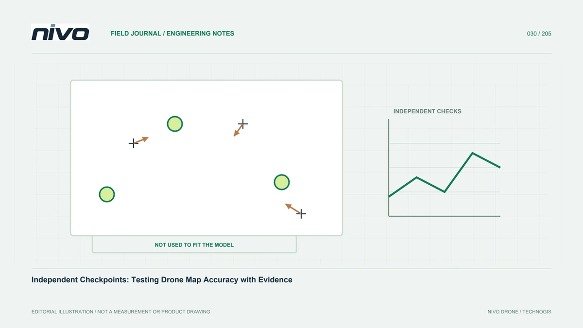
A checkpoint is a reference not used to build or correct the model being tested. It differs from a GCP even when its target and survey method look similar. Comparing a model with a point already used to constrain it mainly describes agreement with an input, rather than independent performance. Separate control and testing groups in the plan, files, and workflow. This applies to orthomosaics, photogrammetric clouds, LiDAR products, and elevation models. The aim is to understand performance at locations the solution was not forced to match during processing.
Define the product and component being tested
Horizontal and vertical accuracy answer different questions. Orthomosaic testing may compare a visible target centre, while elevation testing needs a height extracted from the correct surface representation. A surveyed ground height should not be compared with vegetation or a roof in a surface model. Define the product, coordinate-extraction procedure, and surface type before calculating statistics. Retain separate results for different outputs. An orthomosaic may support road interpretation while a terrain model needs additional testing under vegetation. One combined number can conceal differences that matter to the user's intended application.
Distribute checkpoints around relevant conditions
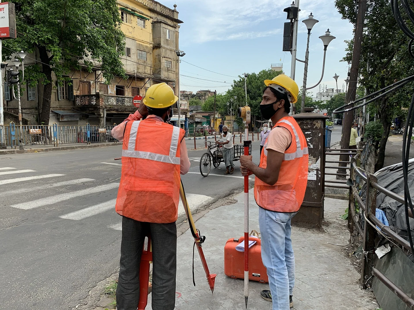
Testing locations should represent the area and conditions being assessed, not merely convenient access points. Consider block edges, central areas, elevations, flight joins, and relevant cover types. A long corridor needs observations distributed through its length. Establish counts and assessment procedures against the agreed project specification rather than importing a number from an unrelated survey. Document inaccessible and unrepresented areas. If all checkpoints lie on open hard surfaces, explain that the test does not directly demonstrate elevation quality beneath dense vegetation or across difficult slopes where no equivalent reference was collected.
Check the quality of the reference
Reference coordinates must be good enough for the intended comparison. Their uncertainty matters when results approach the acceptance tolerance. Preserve survey method, instrument, time, antenna-height details, and repeat checks. Choose stable points with an unambiguous geometric definition. A damaged or obscured target can produce different image readings between operators. If conditions change between reference survey and flight, record the change. Do not attribute every discrepancy to the aircraft before checking the suitability and reliability of the observations being used to judge the product.
Calculate differences with clear conventions
Compute product-minus-reference differences for the components required and keep the sign convention consistent. Mean differences help identify bias, while spread describes variability. RMSE is commonly reported, but it needs units, sample count, and a clear explanation. Do not convert statistics into a claimed confidence level without a suitable method and its assumptions. Preserve individual point results as well as summaries. They reveal whether one extreme point dominates, whether a common shift exists, or whether performance varies spatially. Round after calculation rather than reducing the precision of source coordinates beforehand.
Read spatial patterns before choosing a correction
Error-vector maps and comparisons against elevation or distance from control can be more informative than a single number. A nearly uniform shift may suggest a reference problem, whereas changing patterns can point to geometry or processing. Height differences in vegetation may reflect incompatible surface definitions. These are leads to investigate, not automatic diagnoses. Compare them with source photographs, logs, control distribution, and processing history. Inspect field records before excluding a suspicious point. A large discrepancy alone is not a defensible reason to remove it from the assessment.
Report the limits of the conclusion
Describe checkpoint count and distribution, measurement method, coordinate references, tested product, formulas, and treatment of excluded observations. Include a location map and individual results. Explain whether testing represents the entire project or only selected conditions. Pixel size, point density, relative precision, and absolute accuracy remain different characteristics. Where requirements are not met, state known causes and the next verification step. Clear reporting lets users judge whether data supports overview mapping, particular measurements, or more demanding tasks that require additional checks rather than assuming every possible use has been validated.
Use findings to improve the next survey
Store problem patterns, camera configuration, reference method, control layout, and processing changes that demonstrably affected results. For repeat work, keep test procedures consistent where site conditions allow. Compare results with user requirements instead of merely trying to outperform the last project's statistics. A NiVO configuration should be assessed through its full workflow: camera, GNSS, field references, and processing. Evidence then helps decide whether the most useful improvement is better reference measurement, stronger capture geometry, or revised processing. This directs additional effort towards a known cause rather than an assumed hardware limitation.
Investigate results that appear contradictory
A visually sharp orthomosaic might show a similar horizontal shift at every checkpoint. Finer export pixels will not fix that pattern; inspect coordinate definitions, transformations, antenna references, and target identification first. If only one point differs substantially, investigate its records and image reading before changing the whole model. Preserve each correction and retest as a separate version. An investigation led by error patterns avoids unnecessary processing experiments and provides an auditable explanation of how the team reached its final conclusion, including whether the corrective action addressed the cause that was actually found.
Illustrative scenario: a sharp map with a common shift
Imagine a hypothetical facility map whose roof edges look crisp at normal viewing scale. Several independent checkpoints nevertheless show differences pointing in a similar direction. A reviewer suggests exporting smaller pixels, but the analyst recognises that visual detail and coordinate placement are separate questions. The team first confirms that checkpoint observations were not used in model fitting. It then reviews target definitions, coordinate units, reference descriptions, and transformation history. The common pattern is treated as an investigation lead, not an automatic diagnosis. Original outputs remain available so any proposed correction can be compared with the earlier version.
The analysts plot individual differences across the site rather than relying only on one summary statistic. They also inspect whether the pattern changes with location or elevation and whether any reference itself has questionable documentation. A justified correction is followed by a repeat independent assessment using the same stated conventions. Excluded points require recorded technical reasons; they are not removed merely because they make the result look worse. The final report separates image resolution from tested position and explains what changed. This scenario demonstrates how checkpoint evidence guides a targeted investigation while preventing a visually persuasive orthomosaic from being accepted as proof of positional quality.
A useful acceptance gate requires the corrected result to be reviewed across the represented area, not only at the most convenient checkpoint. If the common shift improves but another spatial pattern remains, the report does not collapse both findings into a reassuring average. Users receive the individual differences, the reference descriptions, and a clear version identity. They can see whether the remaining issue affects their intended task. This is more informative than accepting a low summary value whose distribution and testing conditions are unavailable.