Choosing Ground Sampling Distance for a Drone Mapping Project
Connect GSD, flight height, camera geometry, and the smallest useful feature so aerial image resolution supports the decisions your survey must inform.
Start with the feature users need to recognise
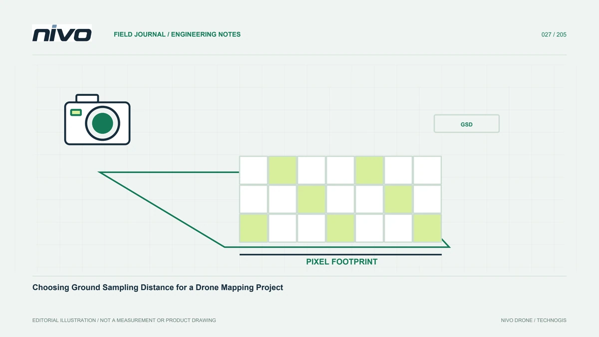
Ground sampling distance, or GSD, describes the ground dimension represented by one image pixel. It is a planning tool, so begin with the smallest feature the user needs to interpret rather than the smallest pixel the camera can produce. Access roads, plot boundaries, building outlines, and material defects require different detail. Establish whether users need visual identification or a defensible measurement. A few centimetres per pixel might support an overview of road layout while remaining unsuitable for a particular defect assessment. Clear requirements prevent a project from collecting much more imagery without delivering information that changes a decision.
Connect sensor geometry and height
GSD depends on the camera's distance from the surface, physical sensor pixel size, and lens focal length. With the same camera and lens, greater height produces larger ground pixels and a wider footprint. Use actual sensor dimensions and image settings, not megapixel count alone. Different cameras can produce similar GSD when focal length or height changes. Check whether the mission planner expresses height above the launch point or above terrain. That distinction becomes important across hills, valleys, and raised structures, where the real camera-to-surface distance changes along the route.
Separate image resolution from positional accuracy
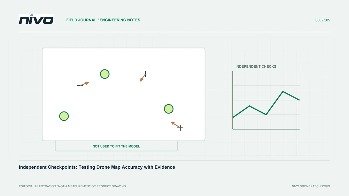
A sharp image with small ground pixels does not prove equally small coordinate errors. GNSS quality, control measurements, coordinate references, image geometry, and processing can all affect position. Specify visual resolution separately from horizontal and vertical accuracy. Evaluate position with independent checkpoints that were not used to constrain the solution. Report acquisition GSD, exported raster pixel size, georeferencing method, and checkpoint results as different characteristics. This prevents a two-centimetre pixel from being interpreted as a guarantee that every point or height measurement is accurate to two centimetres throughout the project.
Account for terrain and raised objects
At a fixed height above one reference point, the distance to high ground becomes smaller and the distance to low ground becomes larger. Buildings create additional variation and can hide surfaces from certain viewing directions. Review the elevation information used in planning and whether it represents current conditions. Terrain-following features still depend on suitable elevation data and an approved operating plan; a coarse background model is not a reason to operate close to obstacles. Consider data quality and operational clearance together instead of pursuing the smallest possible GSD without an appropriate margin around the actual environment.
Preserve real detail in each photograph
Planned pixel size is useful only if photographs actually retain detail. Motion, exposure, focus, vibration, haze, and lens performance can reduce sharpness even when nominal GSD is small. Inspect test images before committing to a full block. Compare stable edges, markings, and surface texture at a useful magnification. If blur follows the direction of travel, review camera settings and operating limits for that configuration. Digital sharpening cannot restore information that was never recorded. Poor source images affect both reconstruction and interpretation, so quality checks should precede long processing runs.
Estimate the cost of finer sampling
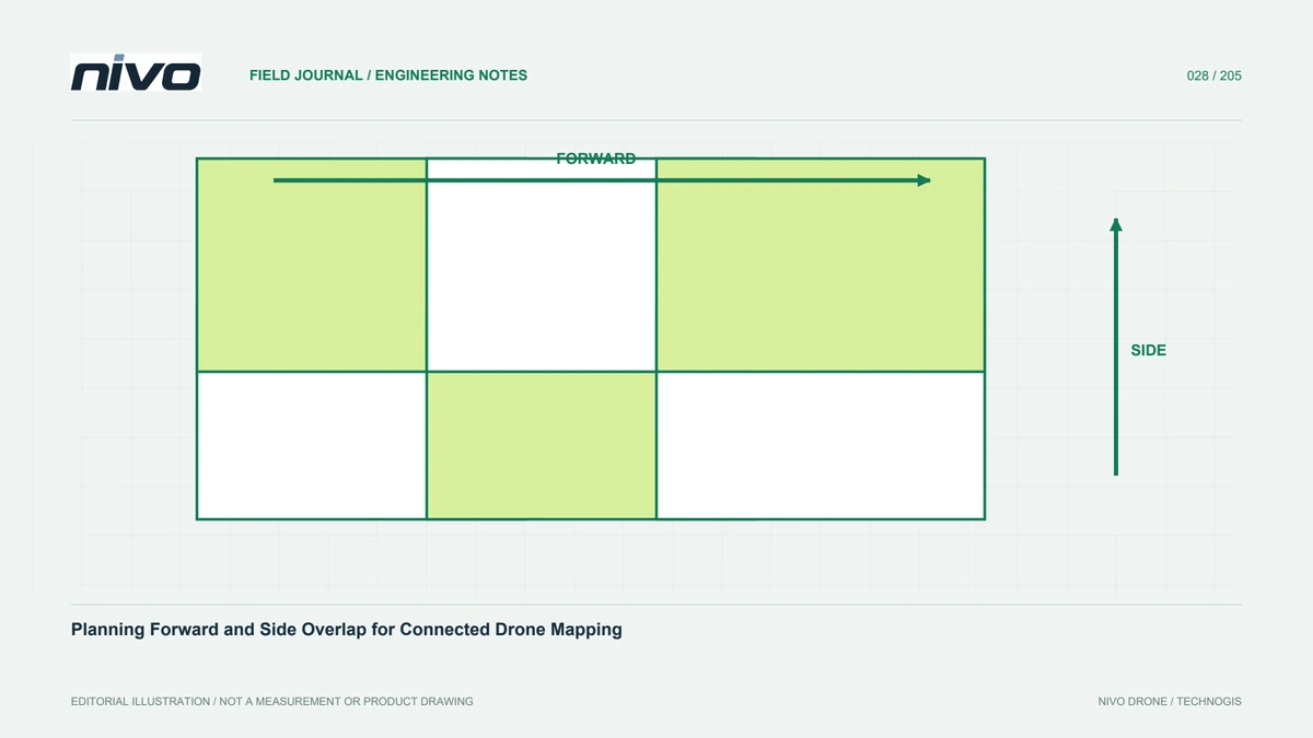
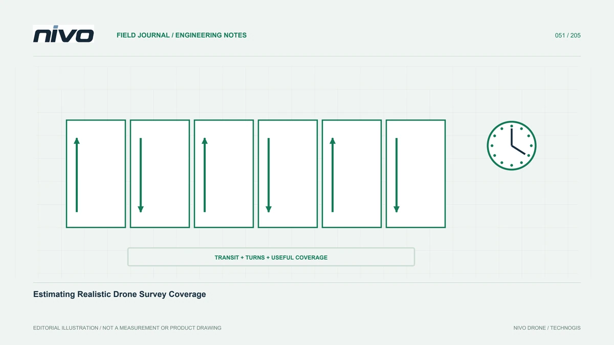
Smaller GSD commonly increases the number of lines and photographs needed for the same area. Battery planning, field time, memory cards, transfers, and processing demand change accordingly. Compare several resolution scenarios against the products actually requested. A broad agricultural overview and a detailed facility block may justify different acquisition settings rather than one demanding resolution everywhere. Include time for inspection, backup, and supplementary coverage where weak areas are found. An efficient plan accounts for the complete production workflow, not only the minutes spent following an automatic mapping route.
Export a raster that reflects source information
Output pixel size can be set separately from the detail present in source photographs. Exporting a much finer raster does not create new observations; it increases file size and may imply unsupported precision. A coarser distribution copy can be useful if the main product remains available and the difference is labelled. Inspect several zoom levels and compare difficult locations with source photographs. Record export settings in metadata. OpenDroneMap's orthophoto-resolution documentation also distinguishes the output setting from the GSD estimated from the available imagery, reinforcing the need to describe both clearly.
Test a representative block
Fly and process a small area representing the project's terrain, objects, and lighting. Check feature readability, checkpoint performance, and whether the intended user can answer the original question. This evidence is more useful than selecting resolution from a camera brochure alone. Once accepted, document height, lens, camera settings, overlap, and reference method as a controlled acquisition configuration. Recheck relevant aspects when equipment changes. NiVO aircraft and payload options can then be discussed against demonstrated requirements, while acceptance remains based on the resulting data rather than the aircraft name.
A practical example with two survey zones
Consider a plantation containing access roads and a processing facility. Plantation managers need plot layout, while facility staff need more building detail. Define two acquisition zones with different purposes, test the plantation's required readability, and add a dedicated facility block where justified. Check their common reference so products combine consistently. This approach treats GSD as a way to manage information and resources. The right value is the one that supports the user's decision with verified quality, rather than a single minimum pixel size imposed on every part of a varied site.
Illustrative scenario: two detail requirements on one site
Consider a hypothetical agricultural site containing broad field blocks and a small equipment yard. The field manager needs to recognise access tracks and plot edges, while the maintenance team needs a closer visual record of roof components. The survey planner first asks each user to identify example features on a trial image. Instead of applying the finest setting across the whole property, the team prepares an overview block and a separate yard block. Both use the agreed coordinate framework, but their capture plans reflect different information needs. No quoted camera resolution is accepted as proof that either requirement has been met.
After a representative test, the reviewers compare source photographs with the proposed orthomosaic exports. They check whether the requested features remain readable and whether smaller output pixels add information or only increase file size. Independent reference observations assess position separately from visual detail. The team records camera configuration, terrain range, image settings, and the approved purpose of each output. If the yard imagery does not reveal the required component, that requirement triggers another observation method rather than an unsupported claim about accuracy. The final decision is therefore based on demonstrated information, not a single GSD value imposed on two distinct tasks.
The handover separates the two zones in its coverage index and provides a sample feature sheet approved by each user. If both products can meet their purpose at the overview setting, the finer yard block is not retained merely for prestige. Conversely, a meaningful detail gap justifies additional effort. The decision record shows which requirement motivated the setting, what the trial demonstrated, and where direct inspection remains necessary. A later reviewer can therefore distinguish deliberate efficiency from an accidental reduction of useful detail.