Estimating Realistic Drone Survey Coverage
Connect camera footprint, overlap, route length, non-mapping time, quality checks, and operating assumptions to build a defensible estimate of usable survey coverage.
Separate maximum capability from a work plan
Product coverage figures relate to particular conditions and configurations. A project estimate must reflect its actual site, payload, quality needs, and operating limits. Multiplying maximum duration by speed omits time that produces no mapping observations. Define area shape, required detail, products, terrain, and reference needs first. Identify untested assumptions. An explainable estimate is more useful than a large figure presented as certain. It helps plan people, batteries, field time, and additional capture around the work required to produce acceptable information, rather than treating all airborne minutes as equally productive mapping time.
Use the actual camera footprint
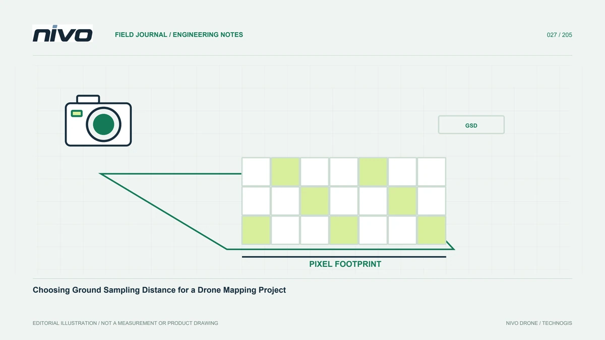
Footprint dimensions depend on camera, lens, distance from the surface, and viewing orientation. Use sensor dimensions and real image settings rather than megapixel count alone. Update calculations after cropping or lens changes. Terrain can change the effective footprint along a route. Check whether planner height refers to terrain or another origin, and test relevant high and low conditions. This connects GSD requirements with real coverage. Without a correct footprint, apparent line spacing and image count can look satisfactory on screen while providing insufficient overlap over raised parts of the surveyed area.
Account for effective swath after overlap
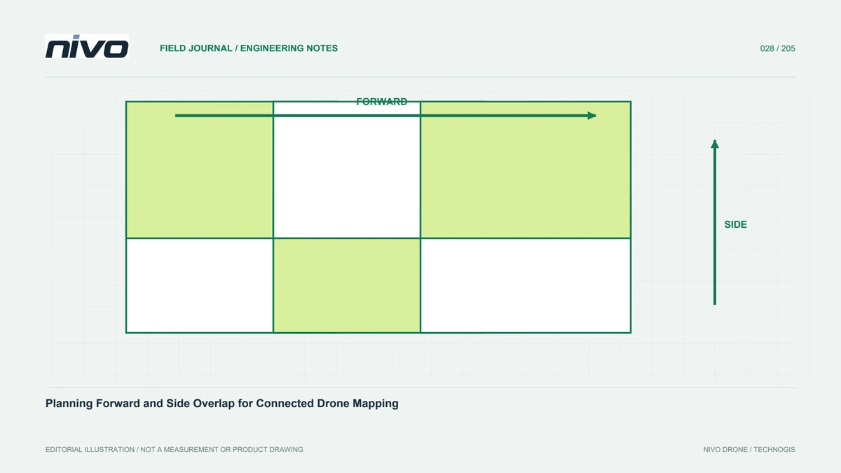
Neighbouring lines need common observations appropriate to the method. The new area contributed by a line is therefore narrower than the entire image footprint. A simple relationship between footprint width and non-overlapping fraction helps explain why more side overlap increases total route length. However, do not select overlap solely to enlarge daily area. Texture, relief, geometry, and final products still determine acceptable settings. Verify them through a representative block. Efficiency gained by removing essential observational support can disappear when a site must be recaptured because the resulting reconstruction does not meet its requirements.
Estimate from route length, not area alone
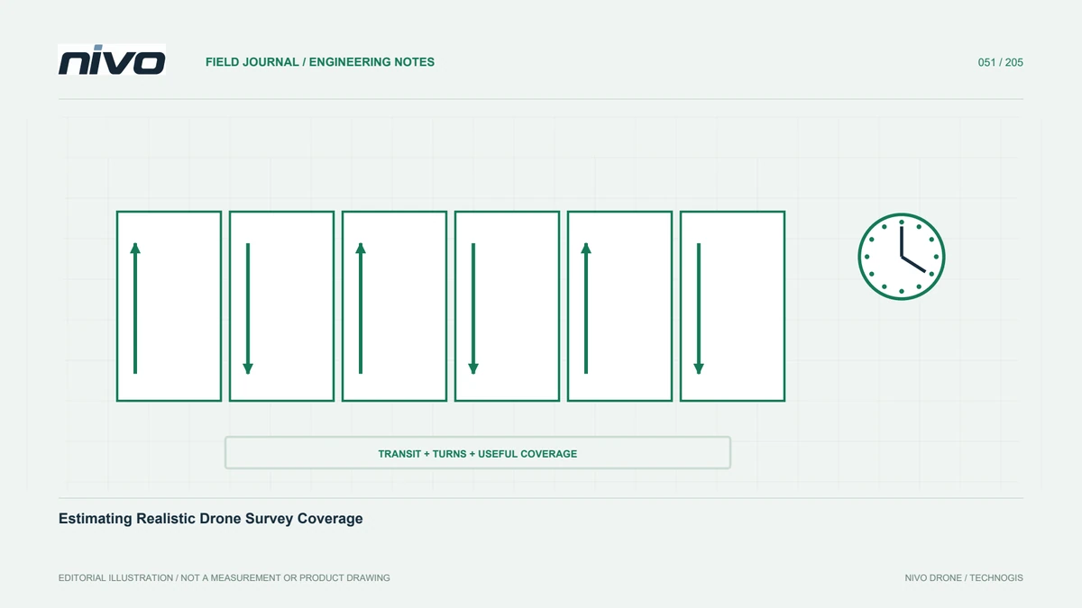
Equal areas can need different effort because their shapes differ. Narrow corridors, many corners, separated sections, or small islands add connections and travel. Build the actual route and inspect its total length. Include appropriate edge support within permission and operating constraints. Review bends and endpoints where a special pattern may be needed. Multi-flight plans also require shared coverage at joins. Route-based estimation better reflects fieldwork than a single area-per-minute ratio borrowed from a project with a different shape, terrain, or product. Preserve the route assumptions so later changes can be evaluated transparently.
Reserve non-mapping time and operational margins
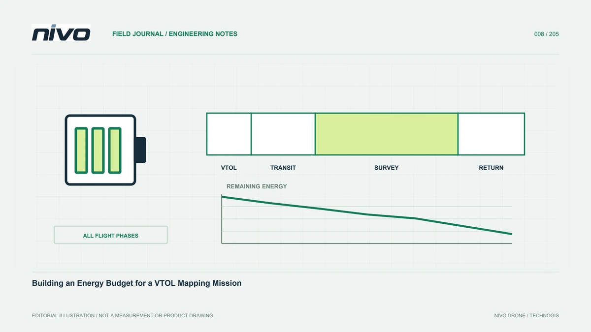
Launch, transition, travel to the block, turns, return, and landing consume time and energy. For VTOL work, these cannot be ignored when estimating effective mapping time. Use margins required by actual documentation, configuration, and operator procedures rather than a universal reserve assumption. Include ground checks, battery changes, transfers, and site coordination. A plan must accommodate interruptions and changing conditions. Show observation time separately from supporting work so users understand why maximum endurance differs from usable capture duration. An estimate should describe the complete operation needed for accepted data, not just the most productive portion of a flight.
Check ground speed and camera capacity together
Ground speed affects time-based image spacing and route duration. Wind can make opposite directions behave differently. Cameras also have exposure and storage limits that need testing in the actual configuration. Do not increase speed if it creates blur or gaps that weaken overlap. Review trigger records and sample quality. Reassess when a payload changes because its effects extend beyond aircraft performance. Realistic coverage reflects the complete system working together, rather than the aircraft's speed under one condition that does not represent the scene, detail, or recording requirements of the planned survey.
Include quality review and possible recapture
A schedule containing only automatic routes underestimates production work. Each session needs completeness, source-quality, reference, and gap checks. Keep room to repair inadequate areas before leaving. The plan need not assume every possible problem, but it should identify relevant risks such as moving vegetation or restricted access. Use previous project evidence to improve scenarios. Quality time is part of producing data, not an optional addition removed to make daily coverage attractive. A small early check may prevent an expensive return visit, especially when conditions or targets will no longer be available after demobilisation.
Compare explicit scenarios
Build conservative, main-plan, and more efficient scenarios with clear assumptions. Change factors that genuinely matter, such as tested GSD and overlap, block layout, and mobilisation. Explain why results differ rather than altering many settings silently. Show consequences for image count, route length, batteries, and processing. If product figures are a starting point, identify conditions requiring verification. Users can then choose an informed compromise between detail, time, and cost. Scenarios support planning; test blocks and actual capture supply the evidence for updating them before the approach is expanded across the whole project.
Prepare a practical NiVO configuration discussion
Bring an area polygon, terrain context, payload, desired products, and testing method when discussing requirements. Request a route-based estimate with timing assumptions instead of only a maximum area figure. Compare reviewed configurations and test a difficult representative part. After initial capture, compare actual coverage with the estimate and record causes of differences. Use that evidence to refine subsequent schedules. Aircraft selection then supports a concrete information need, and coverage becomes an updateable working estimate tied to the quality users receive rather than a promise disconnected from the field and processing workflow.
Illustrative scenario: equal areas require different survey effort
Consider a hypothetical planning exercise comparing two sites with the same nominal area. One is a compact open block near the operating base; the other is a fragmented corridor with bends and separated sections. A simple area-per-flight figure gives both the same schedule, but the planner checks actual routes before committing. Camera footprint, tested overlap, terrain variation, connecting observations, travel, turns, and approved operational margins are included. The team uses the real payload and image settings rather than assuming a brochure configuration applies. No unverified endurance or accuracy promise is introduced to make the estimate look more certain than the evidence permits.
The scenarios separate useful capture time from launch, transition, return, ground checks, and data handling. Trigger reliability and representative image quality are reviewed so higher speed is not accepted if it undermines usable observations. The planner compares changing a requirement with merely changing an optimistic assumption. A coarser detail target can be considered only if users confirm it still answers their question. Reducing overlap without relevant testing is not treated as an equivalent efficiency improvement. The fragmented site therefore receives a different explanation of effort, not an unexplained surcharge or a schedule copied from the easier site.
Handover of the plan identifies inputs, route versions, provisional assumptions, and the evidence expected from a trial block. After initial work, actual performance updates the estimate, with reasons for differences preserved. This hypothetical example makes coverage a reviewable production forecast rather than a universal aircraft constant. It allows users to see how quality, geometry, and supporting work affect the schedule, and gives the team a practical basis for adjusting resources without quietly reducing the information the project was meant to deliver.