DSM, DTM, and Normalised Heights: Choosing the Right Elevation Product
Distinguish visible-surface, terrain, and relative-height models so drone elevation products answer the right questions about ground, buildings, and vegetation.
A model name defines its intended surface
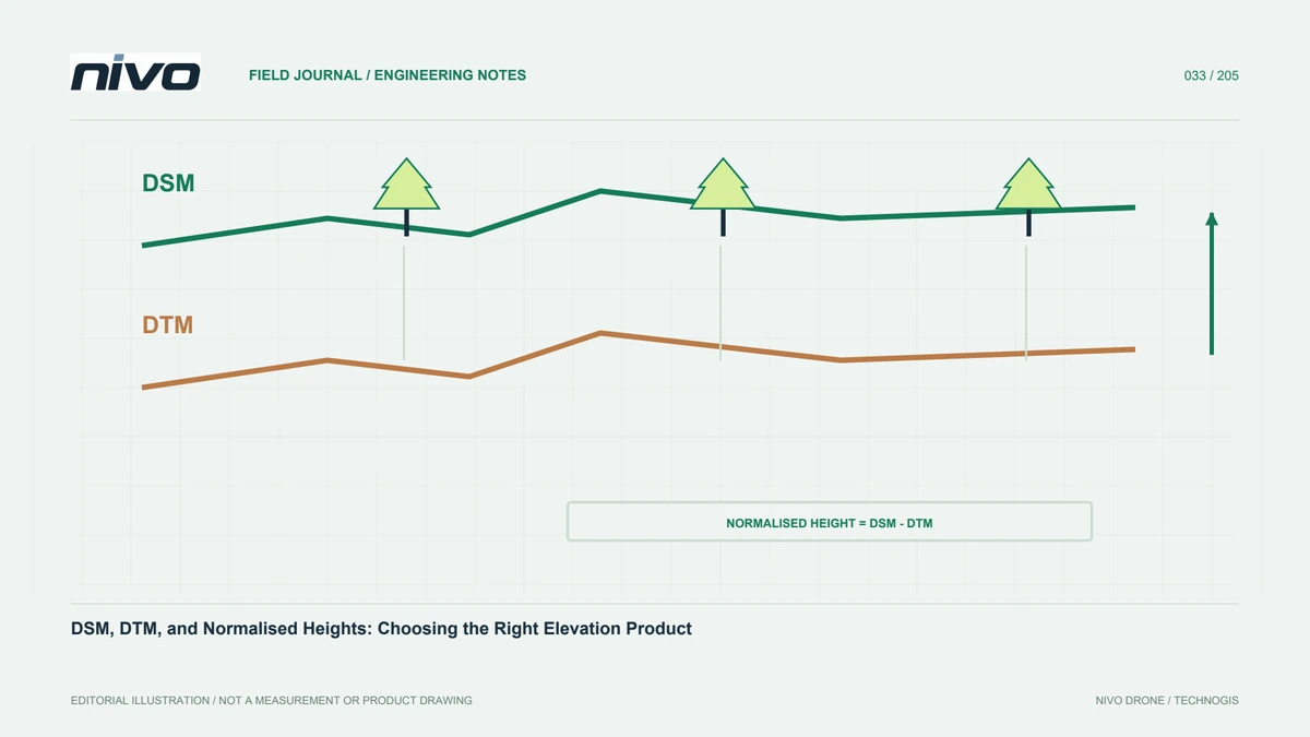
A digital surface model generally represents observed surfaces, including roofs, canopy, and other objects above ground. A digital terrain model aims to represent ground according to its definition and processing method. Normalised height compares objects with a chosen underlying surface. All can appear as similarly coloured rasters, so a filename is not enough to explain meaning. Ask what surface the user needs and how the result will be applied. Selecting the wrong model can produce plausible-looking analysis that answers a different question, particularly when ground shape and above-ground structures are mixed without a clear distinction.
Match the source to ground visibility
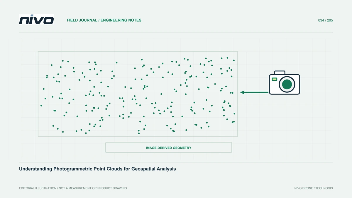
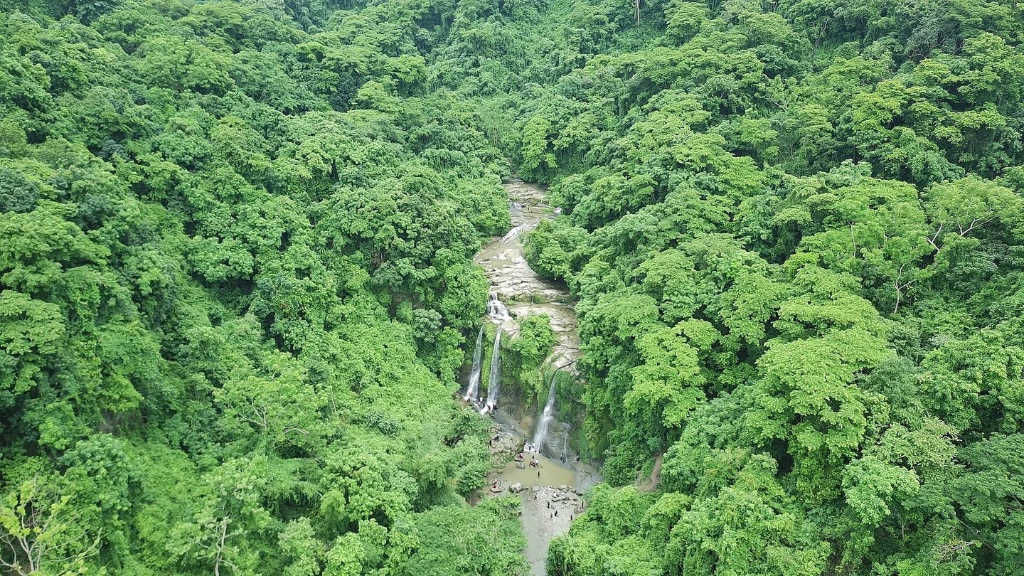
Photogrammetry reconstructs surfaces visible in multiple images; ground beneath dense canopy may never be observed. Classification cannot recover detailed measurements that were not captured. LiDAR offers different opportunities where pulses reach ground through gaps, but performance depends on cover, geometry, and system configuration. Examine ground observations rather than total point density. Both approaches can be useful on open land, while obscured areas may require supplementary survey. Select the payload against actual conditions and the intended surface, not an assumption that one sensor automatically produces a complete and correct terrain model everywhere.
Evaluate classification rather than trusting a label
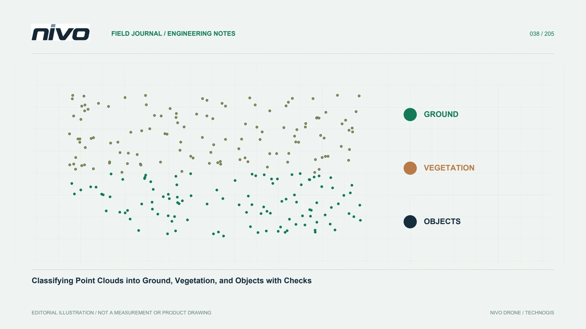
Terrain generation requires separating ground observations from other objects. Algorithms use particular relationships between height, slope, and neighbouring points; settings suited to flat land may behave poorly on terraces, cliffs, or stepped structures. Retain original and classified versions. Test representative cross-sections before applying settings project-wide. Low objects may be accepted as ground, while sharp ridges may be wrongly removed. Interpretation needs understanding of site form. The objective is not a smooth-looking raster but preservation of ground shape that is supported by observations and relevant to the user's task.
Choose grid size from observational support
A small cell does not create information. Where ground returns are sparse, a fine terrain raster can consist largely of interpolation. A coarse grid, however, may flatten ditches or ridges important to the project. Inspect spatial support and relate cell size to intended analysis. Check weak areas rather than relying on average project density. Record interpolation method, search behaviour, and treatment of missing observations. Recipients need to distinguish densely measured surfaces from places estimated using more distant neighbours, especially where apparent detail could otherwise imply a level of confidence the source data does not support.
Normalise heights on compatible grids
Relative height is often derived by subtracting a terrain reference from a surface model. Coordinate systems, units, height references, extents, and grid alignment must be compatible. A small positional mismatch can generate large values along roof or canopy edges. Negative results are not automatically physical: registration, interpolation, and acquisition-time differences may explain them. Inspect distributions and cross-sections before editing values. Record any resampling and retain the terrain version used. Normalisation is an analytical operation requiring checks, not simply subtraction of two rasters with related names or superficially similar colour displays.
Handle water and special structures explicitly
Water may provide few reliable observations. Bridges and other structures also raise a definition question: should the terrain represent an underlying ground surface, and is that surface actually observed? Follow the agreed product definition and available evidence. Do not silently fill broad missing areas just to make a complete raster. If breaklines or supplementary measurements are used, preserve their source and method. River and crossing treatments can strongly influence drainage analysis. Explain whether a model has been prepared for that particular purpose or remains a general elevation product that has not undergone the necessary hydrological treatment.
Validate the surface users will analyse
Use references compatible with the model under test. A ground checkpoint should not be compared with shrub tops in a DSM. Assess open ground, slopes, and relevant cover conditions where suitable references can be obtained. Separate results when their behaviour differs. Inspect tile joins and profiles across flight lines as well. Smoothness can conceal bias, while rough texture does not automatically mean the whole dataset is wrong. Combine visual checks, cross-sections, metadata, and independent points rather than allowing one chosen colour ramp to determine whether a product appears acceptable.
Describe limitations in metadata
Record surface definition, capture source and date, classification, grid size, interpolation, height reference, and assessment results. Identify areas without sufficient ground support through a boundary or explanation. Avoid unqualified statements such as high accuracy. Derived products should retain links to their source models and versions. This lets recipients judge suitability for terrain overview, object measurement, or further analysis. The record preserves usefulness when project staff change and nobody remembers why particular processing settings were chosen. Clear metadata also prevents a later user from treating a surface product as a terrain model merely because it contains elevation values.
Choose different products for different questions
A forestry team studying relative canopy height needs a suitable upper surface and ground reference. A construction team studying land slope primarily needs a terrain representation with object treatment explained. The same site can therefore require distinct outputs. Specify both needs and select payloads, references, and processing accordingly. Discuss NiVO RGB or LiDAR configurations in terms of the observations required, not a promise of detailed terrain based only on sensor name. Show representative cross-sections and tests so recipients understand how each surface was formed and where further verification is necessary.
Illustrative scenario: negative canopy heights beside a slope
Consider a hypothetical vegetation project that subtracts terrain from a surface raster to estimate relative canopy height. Most results look plausible, but a band beside a hillside contains unexpected negative values. The analyst does not immediately replace every negative cell with zero. The team checks coordinate references, height definitions, cell size, grid origin, and valid extent for both inputs. It compares source dates and ground-classification versions as well. A profile across the band helps distinguish alignment problems from uncertainty in the reconstructed surfaces. The original inputs are retained so that the investigation remains reproducible rather than becoming a sequence of undocumented edits.
The analysts inspect ground-point support and identify where interpolation contributes to the terrain model. Any justified correction becomes a new version, with the exact normalisation sources preserved. Appropriate independent evidence assesses the relevant surface; smooth appearance alone is not validation. Remaining unsuitable areas are identified in the delivered result. Users can then understand why relative height is more than a subtraction function. Its values inherit reference, surface-definition, alignment, and observational-support decisions from both rasters, even when each file opens successfully and appears reasonable when viewed separately in the processing software.
For handover, the team contrasts two possible products: a visually complete height layer with unsupported replacements, or a layer that retains a clear valid-area mask and explained uncertainty. It selects the product appropriate to the agreed analysis rather than treating completeness as the sole criterion. The input-version table and profile locations accompany the result. If a later ground survey improves the terrain base, users can recompute the relative heights from the preserved sources instead of trying to reverse undocumented manual edits in a final raster.