Multi-Temporal Drone Monitoring: Comparing Change Fairly
Keep repeat capture, coordinates, grids, surface definitions, and verification consistent so observed differences are not confused with lighting or processing effects.

Define what counts as change
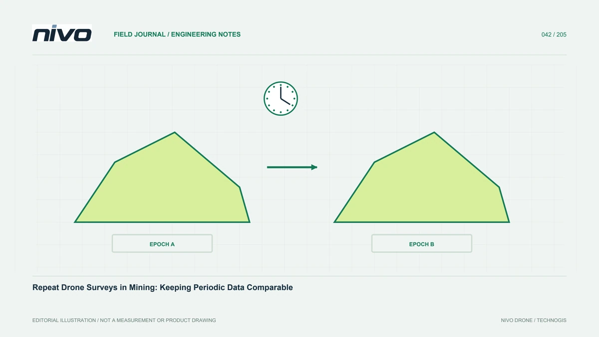
Begin by identifying the change of interest. Cover-boundary movement, material accumulation, elevation differences, and vegetation condition require different methods. Define objects, periods, areas, and decision-relevant magnitudes. Not every difference between orthomosaics is physical: illumination, shadows, moisture, and viewing geometry can alter appearance. A clear definition guides capture and checking. It also distinguishes an indication map from a geometric measurement or a list of locations requiring field verification. The product should make this status understandable rather than presenting every coloured difference as an established event with a known cause.
Maintain compatible coordinate references
Position shifts can create false change around buildings, roads, and vegetation edges. Keep references, units, heights, and transformations consistent. Use stable references and independent checkpoints to assess each date. Document replaced or missing control points. Avoid relying solely on visual alignment, which may conceal meaningful displacement. For elevation analysis, small vertical bias can affect a wide area. Inspect stable surfaces before differencing. This establishes whether a pattern reflects registration or actual change and helps prevent a systematic dataset shift from being reported as many separate physical events across the site.
Design repeatable acquisition
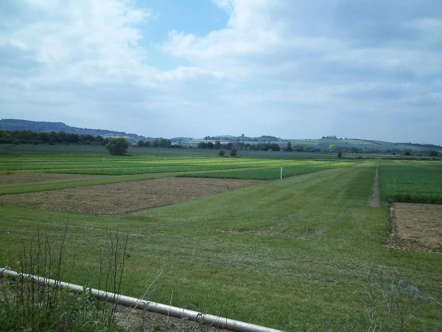
Preserve accepted routes, sensor configuration, target detail, and quality procedures from the baseline survey. Reuse suitable elements while adapting to actual conditions and operating limits. Record every relevant configuration change and its reason. Do not force old settings where circumstances have changed. Capture time, vegetation state, and site activity affect comparability; wet and dry conditions may produce different appearances. These records help explain possible acquisition effects. A repeat plan should maintain meaningful relationships between dates without overlooking the safety or quality needs of each individual collection session.
Match grids and valid comparison areas
Raster comparisons need compatible cell positions, resolution, orientation, and extent. Equal pixel size alone is insufficient. Check NoData, cropping, and resampling. Areas available on only one date need explicit treatment rather than substitution with zero. Preserve an index of suitable comparison coverage. Point-cloud methods must likewise suit the surface representation and source characteristics. These decisions prevent empty edges from becoming convincing-looking analytical patterns. Record settings so revised datasets or methods can be compared through a repeatable process instead of producing new results from undocumented defaults each time the project is reopened.
Separate visual and geometric differences
Colour changes may indicate lighting or surface condition; height changes depend on model geometry and references. They can support each other but should not be mixed without explanation. A shifted building edge might reflect orthorectification rather than demolition. Vegetation form may vary with movement or season. Use source photographs, profiles, and site information for important patterns. Select indicators that answer the user's question. Explain geometric limits when only visual data is available, and confirm matching surface definitions when comparing elevation models before calling differences growth, excavation, or material accumulation.
Interpret change alongside both datasets' quality
Comparison depends on both dates, not just the newest capture. A weak area in either dataset can limit the conclusion. Review checkpoints, observational support, and processing artefacts for every session. For small target changes, consider whether data uncertainty allows them to be distinguished adequately. Do not choose an arbitrary threshold merely to clean up a map. Explain the method and rationale. Differentiate adequately supported findings from areas that cannot yet be assessed. This lets recipients understand that coloured output cells do not all constitute evidence of equal strength.
Verify important locations with additional evidence
Select changes relevant to decisions and inspect them using suitable close photographs, field observations, work records, or supplementary survey. Keep object identities and verification reasons. If an apparent event comes from method changes or geometric error, revise the analysis and retain history. Do not discard inconvenient findings without investigation. Verification distinguishes initial detection from a checked conclusion. In an ongoing programme, its record also improves future capture design and indicator selection, concentrating effort on the types of observation that have proved useful rather than simply repeating an automatic difference calculation.
Keep dates and versions explicit
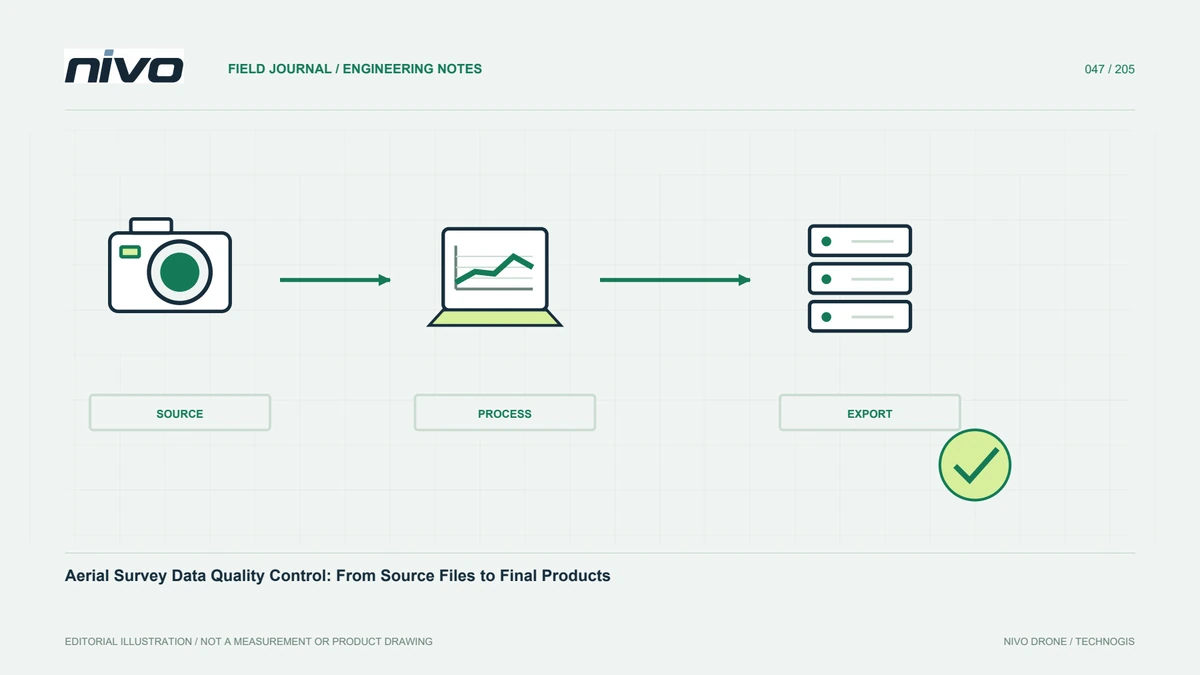
Each change product must identify its source dates and processing versions. Retain capture intervals, valid coverage, and analysis settings. Avoid a filename such as latest as the only identity. If a source is revised, decide whether analyses need recalculation and label replacements clearly. Preserve change notes so earlier reports remain interpretable. For summary users, provide a location map and findings table linked to detailed evidence. This connects management information to technical observations and reduces the chance that revised and unrevised datasets are compared without anyone recognising a change in source or method.
An example combining facilities and vegetation
One site may need separate workflows for building change and vegetation cover, even when both use the same flight. Apply appropriate definitions and checks to each. Verify registration on stable objects, identify comparable coverage, and investigate important findings with additional evidence. Explain seasonal differences affecting vegetation. NiVO and payload choices support observation continuity, but useful monitoring depends on consistent methods and assessment. The resulting change map directs verification and decisions instead of being treated as a self-explanatory image that identifies every physical event and its cause without further review.
Illustrative scenario: apparent change after rain
Imagine a hypothetical monitoring programme comparing two surveys of an undeveloped site. The later imagery is darker across several soil areas because conditions differ after rain, while new shadows fall near structures. An automatic image comparison highlights broad regions as changed. The analyst first asks which change the user actually needs: altered cover, moved material, or a geometric difference. The highlighted pixels are treated as candidates for review, not as an established physical event. Capture conditions, source photographs, and site records are examined before the team assigns meaning to the pattern or reports its area as a confirmed alteration.
Stable features are used to check registration, and elevation comparisons use compatible surface definitions, height references, grids, and valid coverage. If a relevant geometry change is proposed, it must be supported by appropriate observations rather than by colour alone. The team selects meaningful locations for additional verification and records why they were chosen. A threshold is not tuned simply to make the difference map look clean. Where the available sources cannot distinguish environmental appearance from the requested event, the finding remains uncertain, with the consequence explained to users rather than hidden through a categorical label.
The final report links each accepted finding to source dates, dataset versions, and verification evidence. It separates a useful screening map from checked conclusions and identifies areas unavailable on one date. When later observations become available, the preserved comparison settings allow reassessment without reconstructing an undocumented workflow. This hypothetical case shows how monitoring can direct attention effectively without claiming that every detected difference has the same cause or strength of evidence. It also gives the programme a basis for choosing more comparable capture conditions and improving indicators that answer the user's actual question.