Drone Land-Cover Inventories: From Class Definitions to Field Checks
Define land-cover categories, mapping units, supporting observations, and independent samples so category areas are meaningful, consistent, and explainable.
Separate visible cover from land use
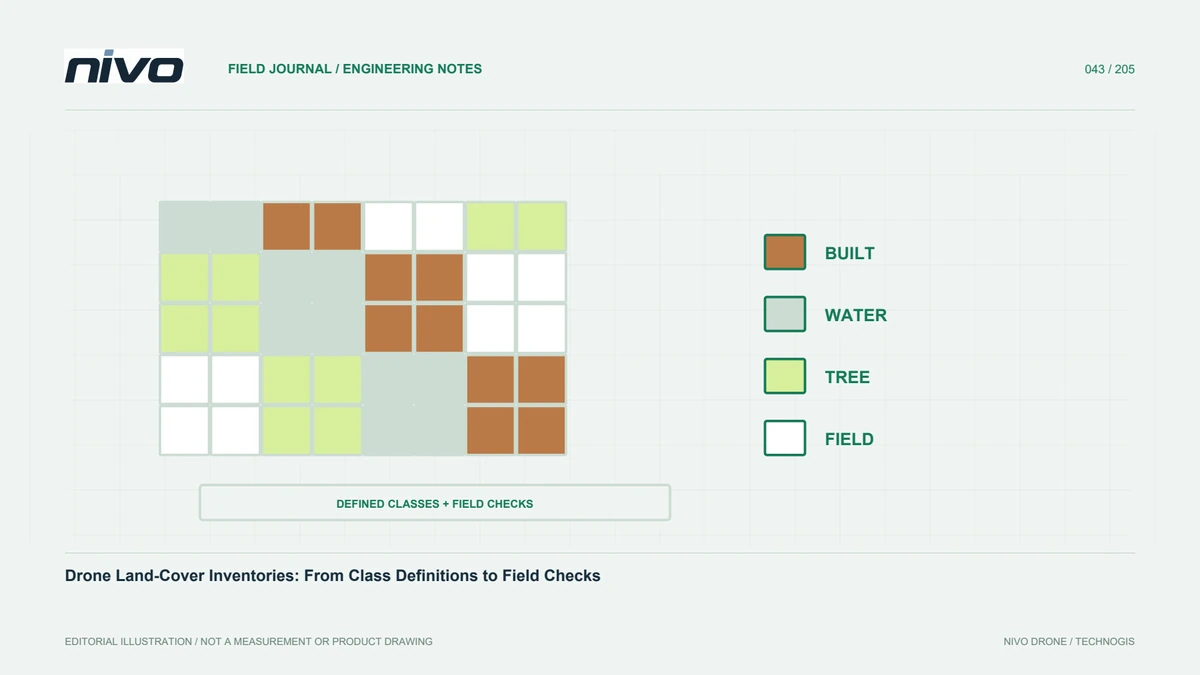
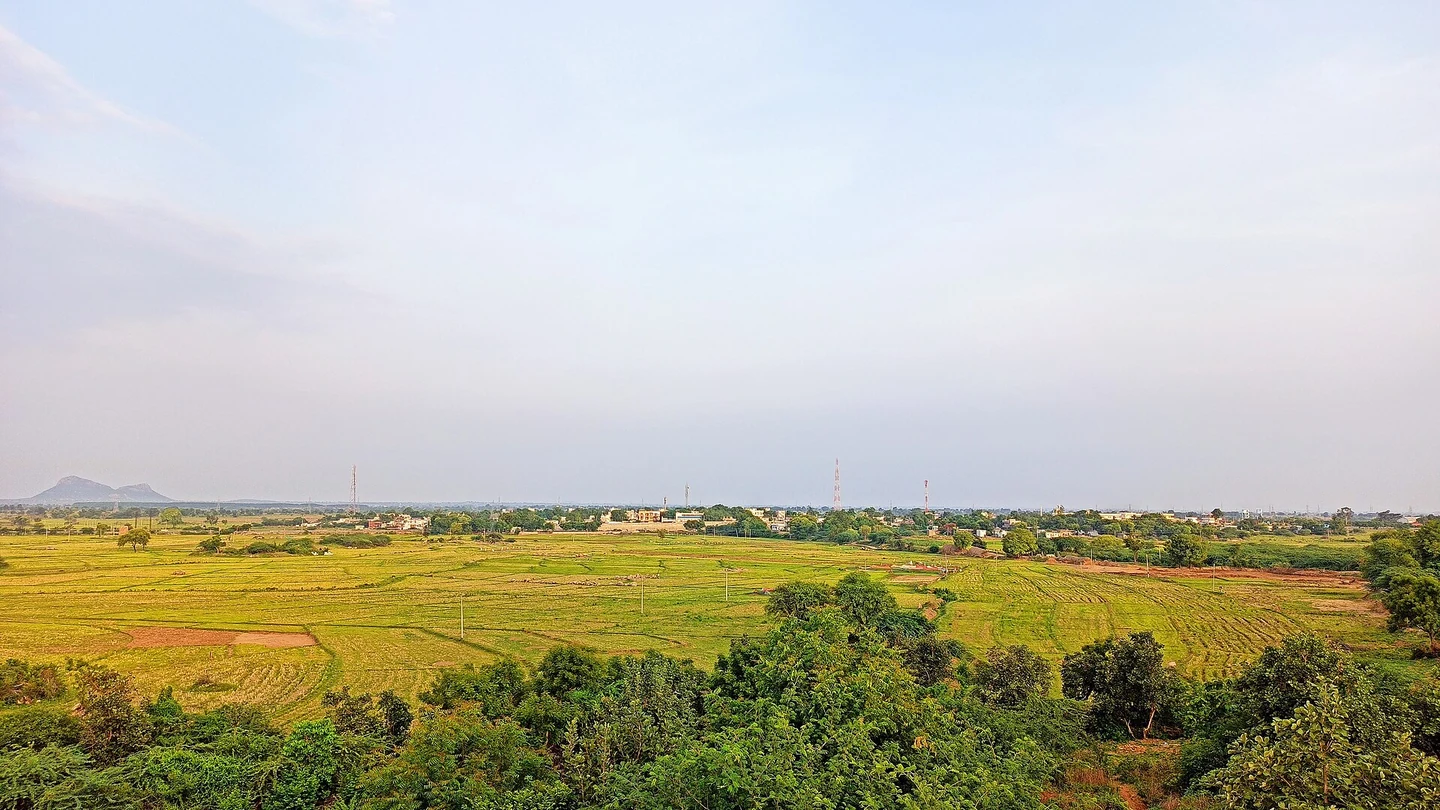
Land cover describes what covers a surface; land use concerns its function or activity. Imagery may show roofs, vegetation, bare soil, or water without proving a building's function or management status. Keep these concepts separate in an inventory. If use attributes are required, plan additional sources such as field checks or management records. Do not infer function from colour and shape alone. Define working scale and intended decisions so categories reflect actual information needs. This prevents a visual map from being treated as evidence about characteristics the survey never directly observed.
Define distinguishable categories
Classes should reflect both user needs and available evidence. Too many visually similar categories can increase uncertainty, while overly broad groups can hide important differences. Provide descriptions, examples, and boundary rules. Explain treatment of mixed areas, sparse vegetation, shadows, and temporary objects. Where a hierarchy is used, retain links between detailed and summary categories. Test rules before project-wide digitising or classification. Shared examples help multiple operators work consistently instead of relying on personal judgement whenever they encounter an ambiguous place. Record how uncertainty is handled rather than forcing a precise label on insufficient evidence.
Choose observations for relevant characteristics
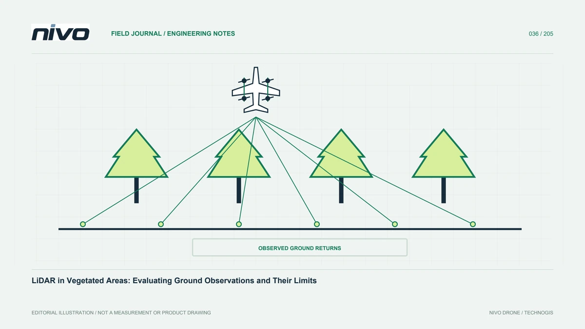
RGB imagery supplies texture, colour, and shape context. Multispectral observations can add relevant spectral information when acquisition and processing are appropriate. LiDAR may support structural height or surface distinctions where required. No sensor automatically provides every cover label without rules and assessment. Identify attributes that genuinely help separate categories, then test representative conditions. Under canopy or around tall buildings, state whether classes describe the visible upper surface. Hidden information should not be added merely because an algorithm supplies a confident-looking label. Sensor choice must be connected to what can actually be observed and verified.
Set mapping units and minimum feature rules
Image resolution is not necessarily the intended polygon detail. Define minimum areas or objects and generalisation rules. Otherwise, one operator may map every tiny gap while another assigns it to a dominant class, changing area totals and object counts. Test mixed examples such as yards containing trees, tracks, and small buildings. For raster products, specify cell size and class-boundary treatment. For vectors, review geometry and topology. Consistent mapping units make blocks and repeat periods comparable without confusing actual change with differences in drawing practice or display detail.
Keep training and testing separate
For algorithm-assisted classification, examples used to build the model should be distinct from samples assessing its output. Testing on training examples can overstate performance. Choose independent samples representing categories and conditions, with reliable reference labels. Document selection, observation time, and label uncertainty. Manual interpretation also benefits from another reviewer or field samples. Do not assess only dominant, easy categories. Small classes important to a user's decision need attention, otherwise an overall performance figure can conceal errors that materially affect the map's usefulness. Explain how difficult references were handled in the assessment.
Review shadows and seasonal differences
Shadows can make the same surface look different, while moisture and seasons alter vegetation and soil appearance. For repeat inventories, record capture conditions before treating a category difference as physical change. Review obscured areas with appropriate additional evidence where needed. A defined unknown category can be more honest and useful than forcing a specific class. Mark places requiring reinspection. Imagery records conditions at a particular time, and classification still needs context unavailable from one flight. This distinction keeps recipients from mistaking every mapped label for equally direct and unambiguous evidence.
Calculate area with appropriate references
Area calculations require a suitable reference or measurement method and explicit units. Check complete boundaries, unintended overlaps, and gaps. For raster results, ensure NoData does not silently become a cover category. Distinguish mapped area from the whole administrative area when coverage differs. Preserve class-code names so summaries remain understandable without application styling. Round figures in proportion to data quality and mapping units. Very precise area numbers do not remove uncertainty in unverified boundaries or labels. The area table should remain linked to the category definitions and dataset version that produced it.
Report quality by category
Explain which classes are readily distinguished and which are commonly confused. Use test samples and location examples to show error patterns. State limits where assessment covers only some conditions. Include definitions, sources, date, method, mapping units, and geometry checks. One overall percentage does not guarantee equal quality for every category. Category-level information helps users choose reasonable analyses or additional verification. A map explaining its limitations is more useful than a detailed legend with no evidence about how labels were assigned or tested, particularly when a rare category drives an important management decision.
A mixed-landscape inventory example
For plantation, buildings, roads, and bare ground, define classes against management needs and observable distinctions. Agree treatment of tree-covered yards and small tracks, then test several plots before mapping everything. Verify ambiguous locations with suitable photographs or field observations. After calculating areas, assess whether categories should be combined for reporting. Discuss NiVO RGB or multispectral options using those tested requirements. Technology supports observations, while definitions, independent samples, and consistent mapping keep inventories comparable between periods. Changes in method should remain distinguishable from changes in the landscape the user is trying to monitor.
Illustrative scenario: defining cover in a tree-covered yard
Consider a hypothetical facility inventory where a yard contains scattered trees, small sheds, bare patches, and paved access. Two interpreters produce different maps from the same orthomosaic. One draws every visible opening, while the other assigns mixed areas to the dominant cover. Before comparing area totals, the coordinator checks whether their class definitions and minimum mapping units were ever agreed. The difference is not labelled a software error. A shared example sheet is prepared for tree-covered yards, small structures, ambiguous shadows, and temporary objects. The team also distinguishes visible land cover from facility use, which requires another source of information.
The interpreters apply revised rules to the same representative area and review disagreements before continuing. If algorithmic classification is used, examples fitting the method remain separate from independent testing samples. Rare categories important to the user's decision receive attention rather than disappearing within an overall summary dominated by easy classes. Where imagery cannot resolve a boundary or label, an unknown status or a suitable field check is considered. The team does not infer what lies beneath every canopy gap from a confident-looking class colour or from the apparent detail of the source image.
Handover preserves the category dictionary, mapping-unit rules, source dates, tested conditions, and the actual dataset version behind the area table. Geometry checks identify unintended overlaps and gaps, while NoData is kept distinct from mapped cover. Recipients can understand whether a later difference reflects changed land cover or a revised mapping rule. This hypothetical example shows why inventory consistency is not achieved merely by asking everyone to use the same imagery. It requires a shared definition of what is being mapped, what level of detail is meaningful, and how uncertain observations are represented and assessed.