LiDAR in Vegetated Areas: Evaluating Ground Observations and Their Limits
Understand canopy gaps, returns, ground-point support, classification, and terrain checks so vegetation mapping does not promise information the sensor did not observe.
Define whether the question concerns ground or canopy
Vegetated surveys may target terrain, canopy structure, relative tree height, or their relationship. Each purpose changes which observations matter. If a DTM is required, abundant canopy-top points do not prove that ground was recorded. If vegetation structure is needed, aggressive cleaning may remove valuable information. Define products and analysis units such as plots, corridor sections, or sample areas. Agree how results will be checked in the field. This directs sensor and acquisition choices towards an information requirement rather than a dense-looking cloud whose apparent completeness may have little connection with the intended analysis.
Relate ground observations to gaps and geometry
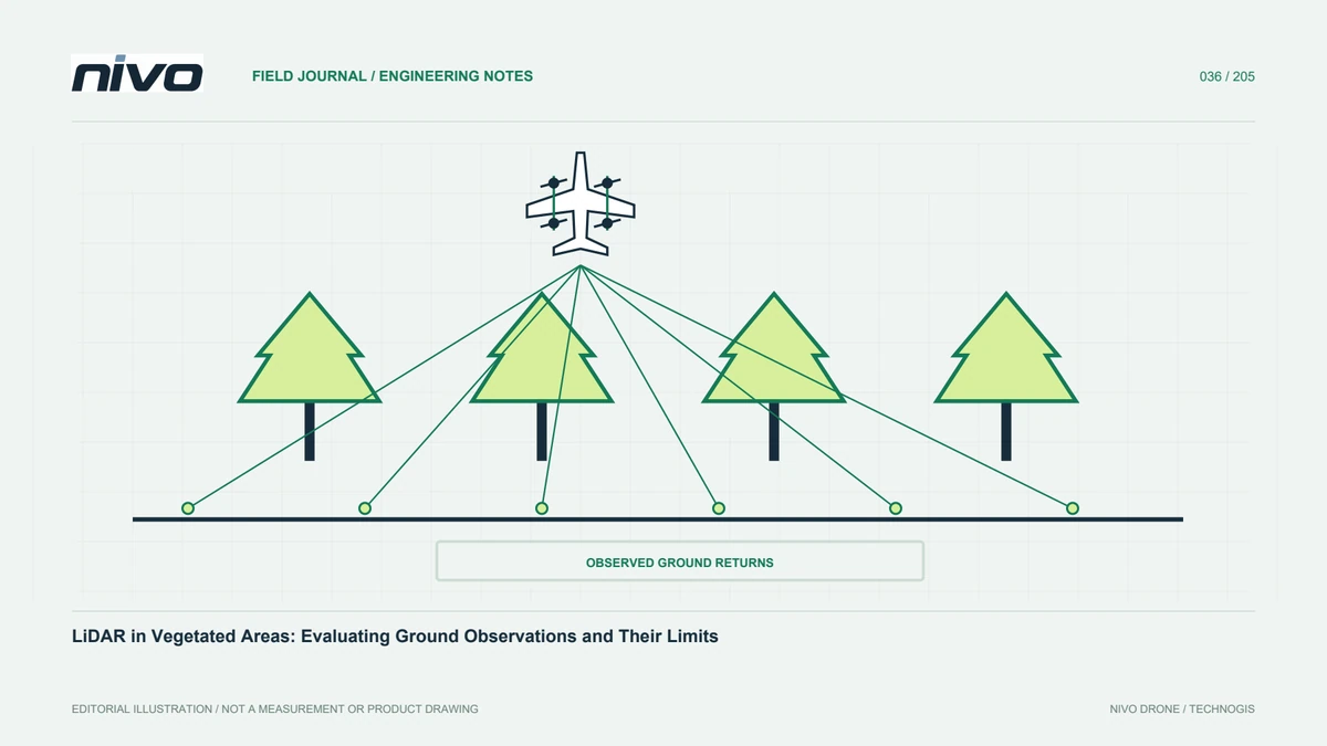
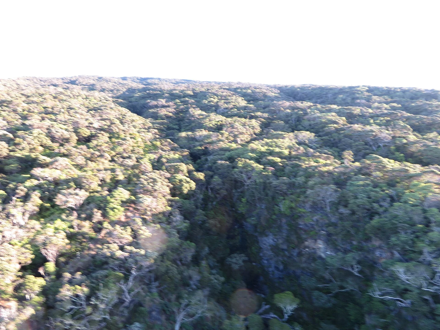
Some laser pulses can reach ground through openings between leaves and branches. The opportunity depends on vegetation structure, viewing direction, capture geometry, and system characteristics. LiDAR does not simply see through all solid canopy. Under dense cover, ground observations can remain sparse or uneven. Inspect the site before promising terrain detail. A test block should represent difficult vegetation and demonstrate the spatial distribution of accepted ground points, not just a colourful overview. Identify areas lacking adequate support for the requested product so additional measurement or an explicit limitation can be considered early.
Distinguish all returns from useful ground support
Some systems record multiple returns from a pulse, according to their capabilities. These can help describe vertical structure, but the last return is not automatically ground. Branches, shrubs, or other surfaces can be low without reaching the underlying terrain. Classify using geometry and context, then inspect the result. Retain return attributes and line identities where relevant. Attribute loss during export can reduce later assessment options. Report total density separately from unclassified and accepted ground-point density, allowing recipients to understand which observations actually support a terrain product.
Plan around site conditions
Routes should account for relief, cover, operating access, and aircraft capability. Additional viewpoints or coverage can help in some circumstances, but technical settings and manoeuvres must follow system documentation and the approved operating plan. Assess scanning geometry and trajectory support on slopes and across canopy gaps. Do not copy a previous project's parameters without checking relevance. Record seasonal vegetation conditions for repeat comparisons. Ground observation, positioning records, and field verification need consideration together; no single flight parameter can guarantee complete ground coverage in every forest or plantation environment.
Review classification in representative profiles
Choose cross-sections through dense vegetation, open ground, slopes, and cover transitions. Check whether the algorithm follows credible terrain or connects lower canopy surfaces instead. Conversely, sharp ground features may be removed by overly aggressive settings. Use field evidence and supporting imagery when interpreting uncertain patterns. Preserve before-and-after examples. A top-down classification colour display can hide vertical mistakes, while profiles show whether a parameter change improves genuine ground support or merely smooths the result. Review several conditions before applying a preferred setting across a diverse landscape.
Map weak ground support
Project-average density can conceal areas with almost no ground points. Inspect counts or distances spatially and relate them to the proposed DTM grid. Broad unobserved areas should not be filled as though they have the same support as open ground. If interpolation is required, document its method and limits and consider identifying low-confidence zones. A support map distinguishes measured shape from estimated shape. This matters for access planning, terrain interpretation, and other work sensitive to local ground form. It also helps recipients understand why apparent raster detail may exceed the information actually observed beneath canopy.
Normalise vegetation heights against a suitable base
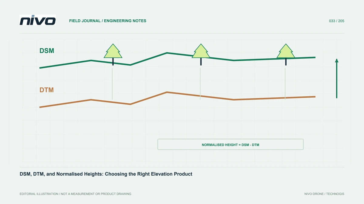
Vegetation-height analysis compares observations with a selected ground model. A biased base changes relative canopy heights even if upper-surface observations appear satisfactory. Check coordinate systems, height references, and grid alignment before normalisation. Review implausible values at canopy edges, slopes, and block joins. Do not remove every negative result without finding its cause; a registration or interpolation problem may explain the pattern. Retain the exact DTM version and normalisation method. If terrain is improved later, this relationship allows analysis to be updated without losing track of the elevation source originally used.
Validate with references suitable for the environment
Reference measurement beneath vegetation has its own challenges. Choose a method capable of testing the product appropriately and document its limitations. Separate open and covered conditions when error behaviour differs. Control points used in processing are not sufficient independent evidence. Record checkpoint location, cover, differences, and reasons for exclusions. If testing is available only on open access routes, state that limitation rather than extending its results across the entire forest. Recipients should know which environments were actually compared with reliable references and which remain less directly assessed.
Build an informative forestry handover
Combine cover context, ground-point support, profiles, DTM, and limited-support areas in the report. Where canopy-height products are included, explain their method and terrain base. Separate direct observations from later interpretation and modelling. Assess a NiVO LiDAR configuration through this evidence rather than a compelling preview alone. Discuss supplementary survey before using the terrain for decisions requiring detail it may not support. This preserves the value of vegetation observations while avoiding a promise that every obscured part of the site provides the same level of reliable ground information.
Illustrative scenario: dense canopy but limited ground observations
Imagine a hypothetical forest-edge LiDAR survey whose preview appears richly detailed. The requested product is terrain for reviewing a potential access route. A reviewer separates accepted ground points from all returns and discovers that dense canopy does not provide equally dense support beneath it. Ground-point distribution is mapped instead of reporting only average project density. Profiles cross the open verge, planted edge, and most obscured part of the route. They show where terrain depends on interpolation and where direct observations provide stronger local support. The review therefore follows the intended surface rather than the appearance of all points combined in a colourful display.
Classification is tested to avoid accepting low branches as ground simply to fill gaps. Suitable field evidence is compared where available, with its represented conditions recorded. Poorly supported areas are identified rather than given the same status as open ground. If route planning requires missing detail, supplementary survey is discussed before acceptance. The package distinguishes canopy information, ground observations, and modelled terrain. This hypothetical case preserves useful vegetation structure while preventing an attractive dense cloud from becoming an unsupported promise of complete ground information. It also gives users a spatial basis for deciding where another measurement is most valuable.
For the route review, the team compares a fine-looking interpolated terrain grid with a coarser or explicitly limited product supported by actual ground observations. It does not assume the finer grid is automatically more informative. Acceptance identifies which stretches support the intended interpretation and where another measurement is required. The ground-support map, classification examples, and tested reference conditions remain with the dataset. This makes the product useful for planning further work while preventing visual raster detail from being mistaken for newly measured ground beneath every canopy section.