Coastal Drone Mapping: Time, Waterlines, and Height References
Plan around water levels, changing shore conditions, reflective surfaces, and elevation references so coastal drone maps remain interpretable and comparable.
Define the coastal feature being mapped
Coastal work combines land, water, vegetation, and activity that may change quickly. Requirements can include facility inventories, beach documentation, cover monitoring, or landform observation. Define objects and boundaries before selecting timing and method. A waterline visible in one image is not automatically a shoreline defined for another purpose. Where official boundaries or particular engineering requirements are involved, use the definitions and references established by responsible project authorities. Visual imagery alone does not establish such boundaries. A clear scope distinguishes observed appearance from a formal or technical conclusion requiring additional procedures and evidence.
Capture time changes what is visible
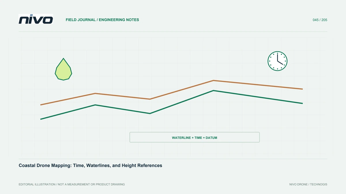
Tides, waves, rain, and water-level variation change exposed surfaces. Record capture time carefully and identify relevant water-level information. Do not assume a distant observation station represents local conditions without evaluation. A survey lasting several hours can capture different parts under different water states. Repeat comparisons need that context. Plan observations for the purpose and approved operating conditions. Timing records help distinguish morphology from a temporary waterline shift, preventing users from interpreting two maps taken at different water levels as direct proof that the underlying land itself changed between dates.
Separate tidal datums from land references
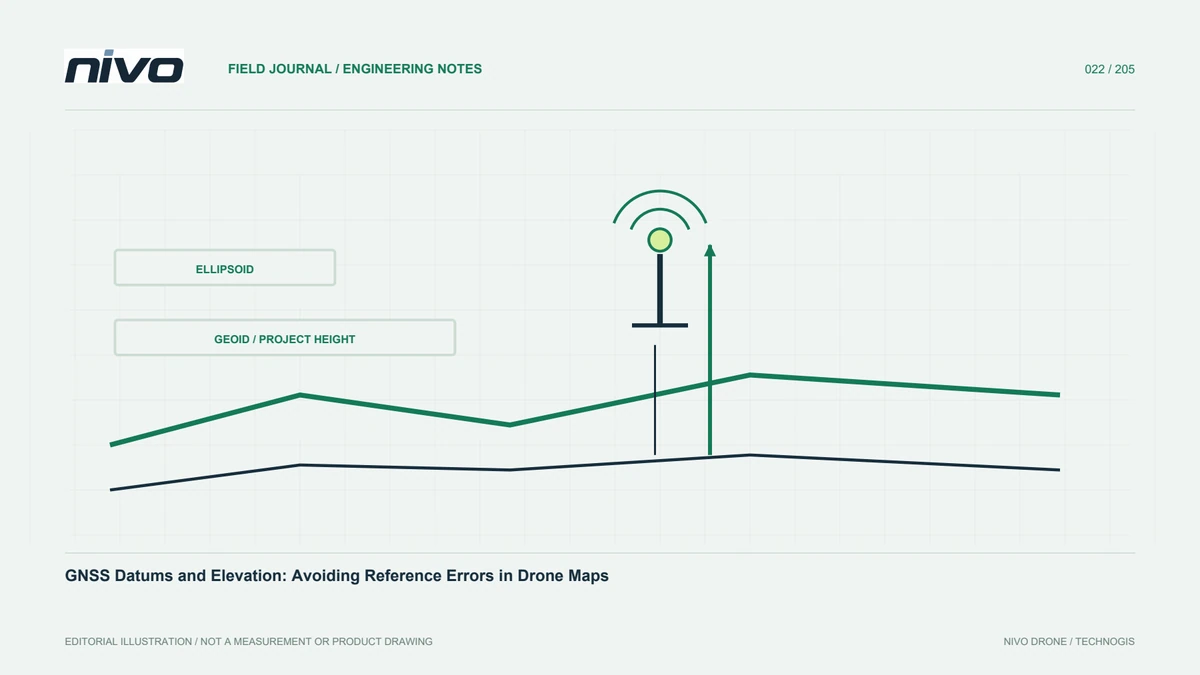
Land elevations and tidal reference levels have different definitions. NOAA describes tidal datums as elevation references associated with tidal characteristics and local observational context. Do not equate GNSS height, project elevation, and water level without a traceable relationship. Establish the height framework and connection method with competent personnel for the task. Preserve benchmarks, model sources, and transformations. A reference mistake can resemble a uniform elevation change across the whole area, so resolve definitions before interpreting model differences as beach change or inundation. The documentation should make clear which reference each number actually uses.
Recognise water's reconstruction limitations
Water moves, reflects light, and may provide few stable features for image matching. Mosaics and surface models over it can contain patterns that do not represent reliable geometry. Do not treat every software-generated colour or height as a valid measurement. Identify water coverage and determine where exclusion is appropriate. If depth is required, evaluate a suitable specialised method and its conditions. An ordinary mapping camera or unspecified LiDAR must not be assumed to provide bathymetry. Explain the boundary of valid information so recipients do not extract heights or volumes from poorly supported water areas.
Place references on stable surfaces
Control targets and checkpoints should remain stable and observable throughout measurement and capture. Loose sand, movable objects, and surfaces likely to flood can complicate repeatable centres and coordinates. Record location, time, and measurement conditions. Use a reference method capable of the intended assessment, keeping checkpoints separate from processing control. Document inaccessible portions and the resulting testing limitation. Quality demonstrated in a built-up access area should not automatically be extended across an entire beach. The report needs to identify which surface conditions were actually assessed against adequate independent references.
Manage glare, texture, and coastal vegetation
Strong reflections, uniform sand, shadows, and moving foliage affect image and reconstruction quality. Inspect representative photographs before demobilising, including sharpness and feature readability. Use tested camera settings and approved routes rather than copying an inland configuration. In mangrove or dense coastal cover, distinguish visible canopy from unobserved ground. Assess any additional sensor under actual conditions. Record wind and light where relevant to interpretation. These notes help processors understand local weaknesses and prevent one extensive capture session from being mistaken for proof that every part of the coastal site has equally reliable geometry.
Compare repeat surveys using the same definitions
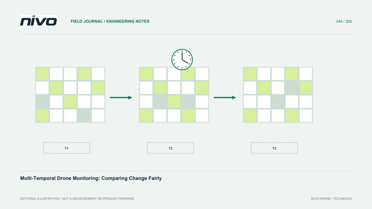
Keep object definitions, references, and interpretation procedures comparable. If a digitised line represents the water boundary at capture time, state that in attributes and reports. Do not silently change the definition between dates. For land-elevation change, match grids and valid areas, then check stable surfaces for bias. Verify important findings with further evidence. Differences can reflect water state, vegetation, shadows, or processing rather than sediment change alone. Transparent definitions let recipients understand the map as a time-specific record with observation limits instead of a complete explanation of every coastal process.
Include coastal context in metadata
Beyond general survey information, preserve capture interval, known water conditions, tidal information sources where used, and the definition of mapped boundaries. Explain height references and their connection to the project. Identify water or other excluded areas, checkpoint locations, and reconstruction limitations. If elevation is delivered, state whether it describes visible surfaces or a terrain product with additional processing. Keep supporting records and versions so comparisons can be repeated. This metadata is part of interpreting the measurement itself, not merely administrative paperwork that can be separated from the files after handover.
A recurring beach-documentation example
Define facilities, vegetation cover, and capture-time waterline as separate observed features. Plan explainable timing, stable references, and a test across difficult sand and vegetation. Retain dates and definitions with each category. When comparing periods, verify important changes and describe differences in water conditions. Discuss NiVO coverage and payload choices against the reviewed requirement. Success depends on source quality and observation context, so the map remains useful without implying that one flight measured every land and marine process completely. Clear distinctions preserve the value of visual evidence while preventing unsupported conclusions from being added later.
Illustrative scenario: two beach maps with different waterlines
Consider a hypothetical coastal documentation project comparing photographs from two visits. The visible water boundary has moved, and a recipient asks whether the beach has permanently lost land. The team does not answer from the orthomosaic outline alone. It first identifies what the digitised line represents and reviews capture intervals, available local water-level context, and source imagery. A boundary observed at the water's edge is kept distinct from a shoreline defined for a different technical or official purpose. The comparison therefore begins with definitions and temporal evidence, not with a visually striking distance between two coloured lines on a map.
The analysts review coordinate compatibility and stable land references separately from changing water surfaces. Sand texture, glare, waves, and reconstruction quality are checked where they influence interpretation. If elevation analysis is needed, the team verifies surface and height definitions and excludes unsupported water values rather than treating them as measured ground. It also examines whether observations from another station are appropriate to local conditions instead of assuming that any nearby tide record resolves the question. Important conclusions require evidence suited to the actual coastal process being assessed, and limitations are stated when that evidence is not available.
Handover identifies each line's meaning, time, source, and tested scope. It distinguishes a record of observed water position from a verified claim about lasting landform change. Additional repeat observations or specialist review can then be planned around a clearly defined question. This hypothetical example preserves the usefulness of aerial coastal documentation without turning one flight into proof of every process affecting the coast. It also prevents an attractive map from silently extending a height or boundary definition beyond the conditions in which that definition was established and checked.