Coordinate Systems, Projections, and Datums in Drone Mapping
Understand CRS definitions, projections, datums, and height references so drone products combine with project data without introducing unnoticed coordinate shifts.
Coordinates need a reference definition
A pair of coordinate numbers does not identify a position completely without its reference system. The same numbers can mean different places when units or definitions change. Drone projects carry reference information in image positions, surveyed points, processing projects, and deliverables. Establish one record of the horizontal system, height system, units, and transformation method. Do not assume that layers share a reference merely because software displays them together. On-the-fly transformations can hide an incorrect source definition until data is exported or analysed elsewhere. The reference record provides a common basis for field and processing staff.
Distinguish geographic and projected coordinates
Geographic coordinates normally express latitude and longitude as angles. A projected system represents positions on a plane with linear units and has its own distortion characteristics and area of use. Select a system for the location and intended analysis rather than choosing the most familiar internet basemap. Ask whether the client already has an established project reference. If work spans several projection zones, decide how products will be separated or combined. Document the choice before capture so field teams and processors do not make different assumptions about the numbers they exchange.

Understand what a datum contributes
A datum relates coordinates to a positioning framework; changing it is more than relabelling a map. Data from different networks, sources, or periods may need a specific transformation. For demanding work, coordinate epoch can also matter. Ask the coordinate provider how values were obtained and which definitions accompany them. Do not select a transformation solely because it aligns with background imagery: a basemap has uncertainty and does not replace a survey reference. Preserve official identifiers or descriptions with the field record so another team can trace the framework used.
Treat height as a separate system
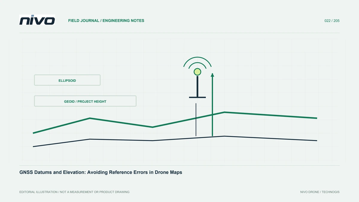
Ellipsoidal, orthometric, and project-local heights use different references. A GNSS result may be ellipsoidal while users expect elevations related to a geoid model or project benchmark. Ignoring that distinction can produce an apparently uniform vertical discrepancy. Identify the geoid or height-connection procedure and record its relevant version and coverage. Avoid an unexplained constant correction. Where a local datum is required, retain its link to known references and the method used to establish it. Test distributed locations so a height-definition difference is not mistaken for a reconstruction problem.
Assigning a CRS is not transforming coordinates
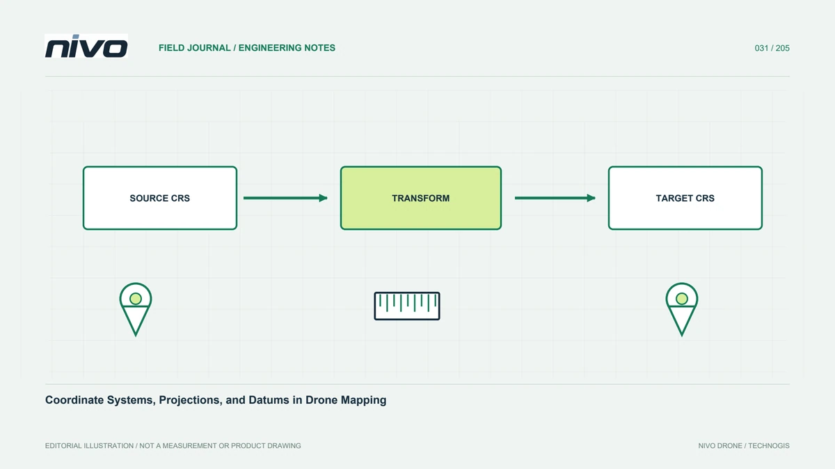
Assigning a CRS tells software how to interpret existing coordinate numbers. Reprojection calculates new numbers in a target system. These operations are often confused when a layer appears in the wrong place. If correct source numbers have lost their definition, restore that definition first. If the source and project systems differ, use an appropriate transformation. Simply assigning the target label to source numbers does not relocate them correctly. QGIS documents this distinction for layer CRS settings. Test several known positions before applying a transformation to a large dataset.
Check units, decimal conventions, and axis order
A simple column mistake can cause a major shift. Confirm longitude/latitude versus latitude/longitude, and easting versus northing in projected data. Check height units and whether spreadsheet handling changed decimal separators. Keep one verified example row as an import reference. Plot points before processing the whole image block to reveal swapped columns, missing negative signs, or an incorrect zone. Retain an agreed file structure with explicit column names. Automated import should read defined fields rather than infer meaning from the apparent magnitude or order of coordinate values.
Test integration before analysing products
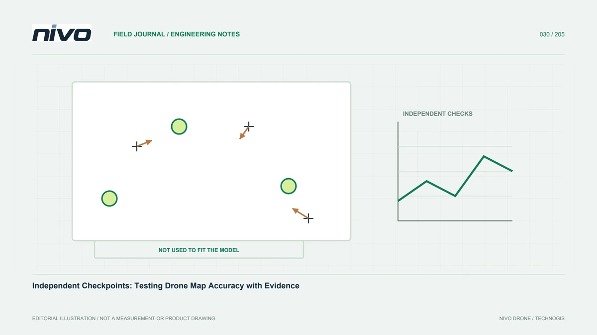
Compare stable features with suitable project references at several locations after importing drone products into GIS. Check horizontal position and elevation separately. Agreement at one location is not enough; an inappropriate transformation may create spatially varying differences. For rasters, consider resolution and resampling during reprojection because both presentation and output values can change. Ensure reference information survives point-cloud export as well. Preserve integration checks so users can distinguish visual alignment from tested coordinate compatibility instead of assuming that a satisfactory display proves every underlying reference is correct.
Deliver reusable reference metadata
Handover documentation should identify CRS names and authority codes where available, necessary full definitions, height systems, units, transformations, and limitations. Include original control coordinates and transformed versions used in processing. A project-local name alone is insufficient outside the original team; explain its origin, axes, scale, and connection as required by the scope. A verified example point can help recipients test their import. This traceability reduces dependence on one specialist and preserves usability when personnel, applications, or analytical requirements change after the survey has been completed.
An efficient checking sequence
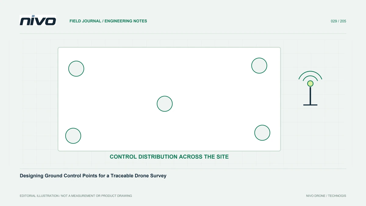
Suppose image positions are geographic, GCPs are projected, and engineering drawings use a local framework. Document all three and establish their valid relationships before processing. Test representative control coordinates through the proposed transformation and compare with project references. After reconstruction, evaluate independent checkpoints before releasing orthomosaics or elevation products. This places a NiVO camera and GNSS configuration within a clear reference workflow. The aircraft supports observation, while reference consistency makes those observations useful alongside existing project information. Each handover should preserve that relationship rather than leaving the recipient to rediscover it.
Illustrative scenario: three coordinate references in one package
Consider a hypothetical project that receives drone image positions, a surveyed control list, and an engineering drawing from different teams. The photographs use geographic coordinates, the control list uses a projected system, and the drawing is described only as a local grid. All three can be displayed in one GIS session, which initially appears reassuring. The data coordinator refuses to treat that display as confirmation of compatibility. Each provider is asked for the actual horizontal reference, height definition, units, and any transformation already applied. One verified example point is retained for each exchange so column order and interpretation can be tested.
The local grid is not assigned a familiar projected label simply to make it appear on the map. Its relationship to established references must be documented before integration. The team tests the proposed coordinate path on suitable known locations and checks horizontal and vertical components separately. Original coordinates remain alongside transformed versions, with settings and source descriptions preserved. Only after this review does processing use the agreed project framework. The handover notes explain the remaining limits and provide a reproducible opening example. This hypothetical workflow makes coordinate compatibility an evidence-based decision rather than an inference from layers that happen to overlap on a screen.
The team compares a documented transformation with a convenient visual fit to background imagery. Only the former can support the required coordinate exchange, subject to its stated suitability and verification. The handover preserves source definitions, transformed values, and the example-point results together. If the local-grid relationship remains unknown, that input is labelled accordingly rather than included in quantitative overlay analysis. This deliberate limitation protects otherwise valid observations from acquiring an unsupported reference through a label change that would be difficult for the recipient to detect.