Checking CRS Axis Order During Coordinate Import
Verify column meanings, axis conventions, units, and transformations before importing coordinates so plausible numbers do not become points in the wrong location.
Separate column order from coordinate meaning
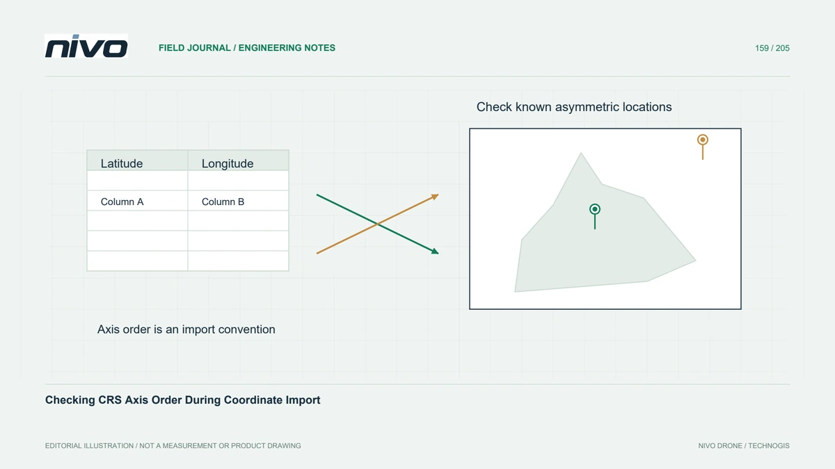
A coordinate file can contain latitude and longitude, longitude and latitude, or projected easting and northing. The labels X and Y alone do not establish which interpretation is correct. Read the source specification and inspect known locations before importing. Numeric ranges can offer clues, but some reversed values remain mathematically plausible and produce points that look reasonable in the wrong part of the world.
Read the application convention
Coordinate reference definitions and application interfaces can use different axis-order conventions. Modern transformation libraries may respect an authority-defined order while a particular file format or GIS workflow expects traditional display ordering. Confirm the convention at the specific import and transformation boundary. Do not assume that an EPSG code automatically determines how a CSV reader maps its first two numeric columns.

Check units and hemisphere information
Check angular versus linear units, decimal notation, hemisphere signs, projected zone, and any separate height column. A comma can be a field separator or a decimal symbol depending on the export. Missing negative signs or a mistaken zone can displace points without causing a syntax error. Keep these checks separate from axis order so one correction does not accidentally conceal another unresolved problem.
Transform only after the source is known
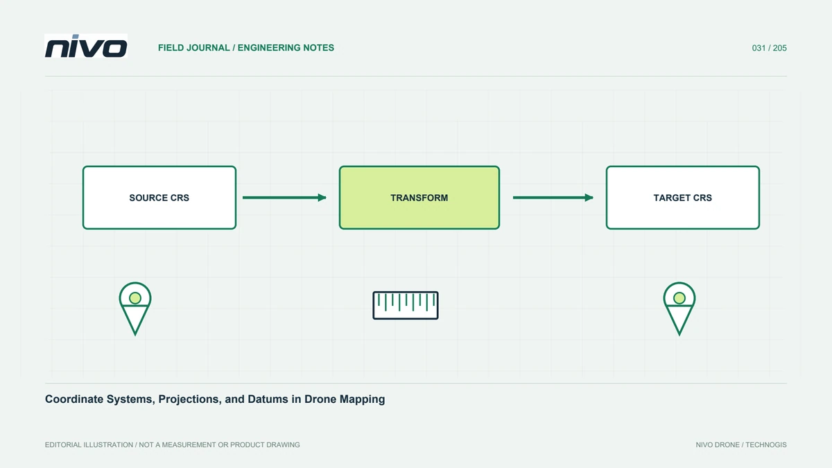
Assign the correct source interpretation before applying a coordinate operation to the destination system. Relabelling coordinates with the desired target reference does not transform them. Likewise, swapping columns after an already correct transformation can create a new error. Preserve the original table and document every mapping and conversion step so the import can be repeated without guessing which intermediate file was corrected.
Test asymmetric known locations
In a hypothetical multinational survey exchange, test several known points with clearly different coordinate components, spread across the project. Compare imported positions against authoritative control and inspect one record numerically through the full transformation. Include a point with a hemisphere sign when relevant. A single point near a symmetry or rounding coincidence is a weak test of the complete axis and unit convention.
Preserve a coordinate import contract
Deliver a small import specification naming each column, source reference, axis order, units, height meaning, and destination transformation. Include checked example records and expected positions. Acceptance should demonstrate that the receiving application reproduces those examples correctly before loading the full survey. Axis-order verification prevents interpretation errors; it does not improve the quality of the original GNSS observations or establish that an undocumented source datum was correct.