Drone Roof and Building Inspection: Visual Evidence, Context, and Verification
Design building inspections around asset zones, readable RGB detail, suitable thermal observations, location records, coverage limits, and verification by technical personnel.
Separate inventory, monitoring, and diagnosis
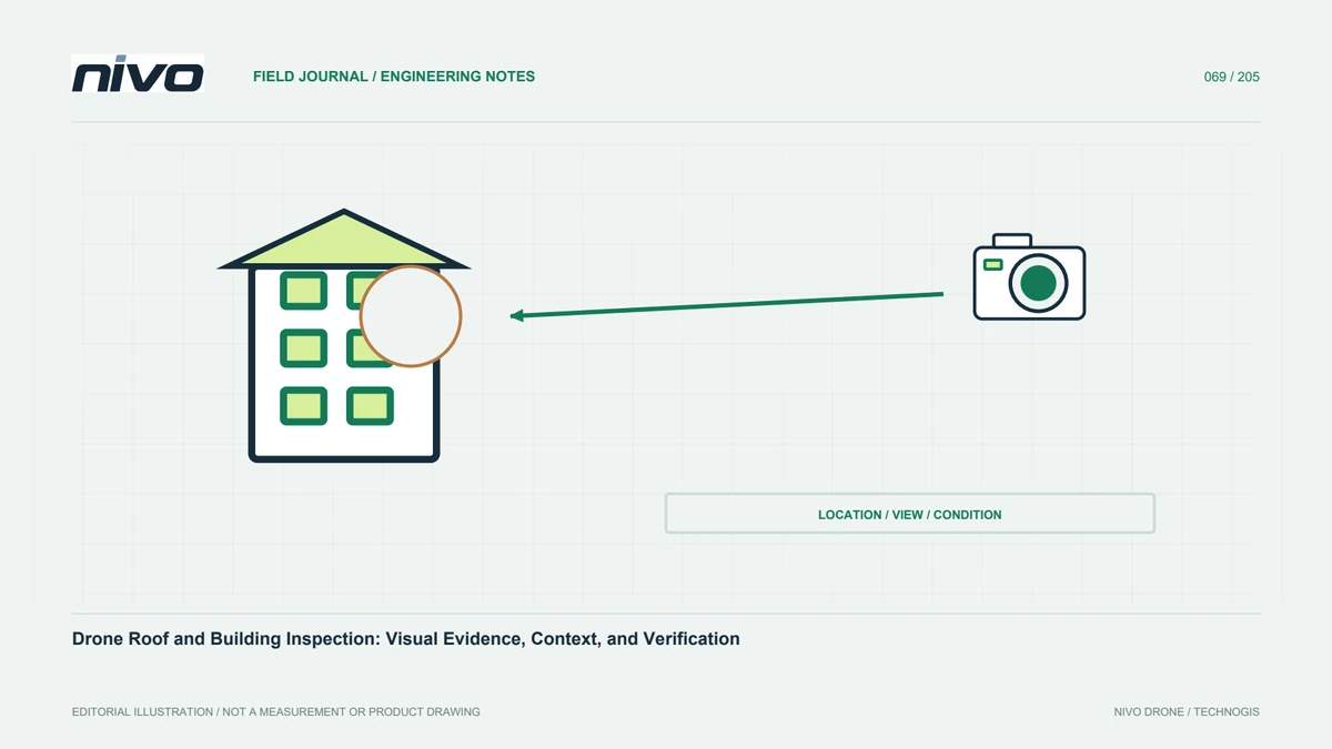
Roof and building flights can support inventory, change monitoring, or investigation of conditions needing further assessment. These objectives should not be merged into an undifferentiated promise. Define the questions, relevant building parts, and management outputs first. Also identify what cannot be observed from the air. Clear scope helps the team collect images answering a specific need and explain why a finding may still require direct inspection before its cause or severity can be established by the appropriate technical personnel.
Give each building part a spatial identity
Use a layout distinguishing building, side, roof zone, floor, and important components. Similar buildings in a complex need stable identities. Connect overview and detail photographs with the same finding number. Camera direction or automatic filenames alone may be insufficient. A close roof image still needs a position within the complete building. Agreed naming lets operators, processors, and maintenance staff discuss the same location consistently, including when the report is revisited months later by someone who was not present during acquisition.
Capture RGB from overall context to detail
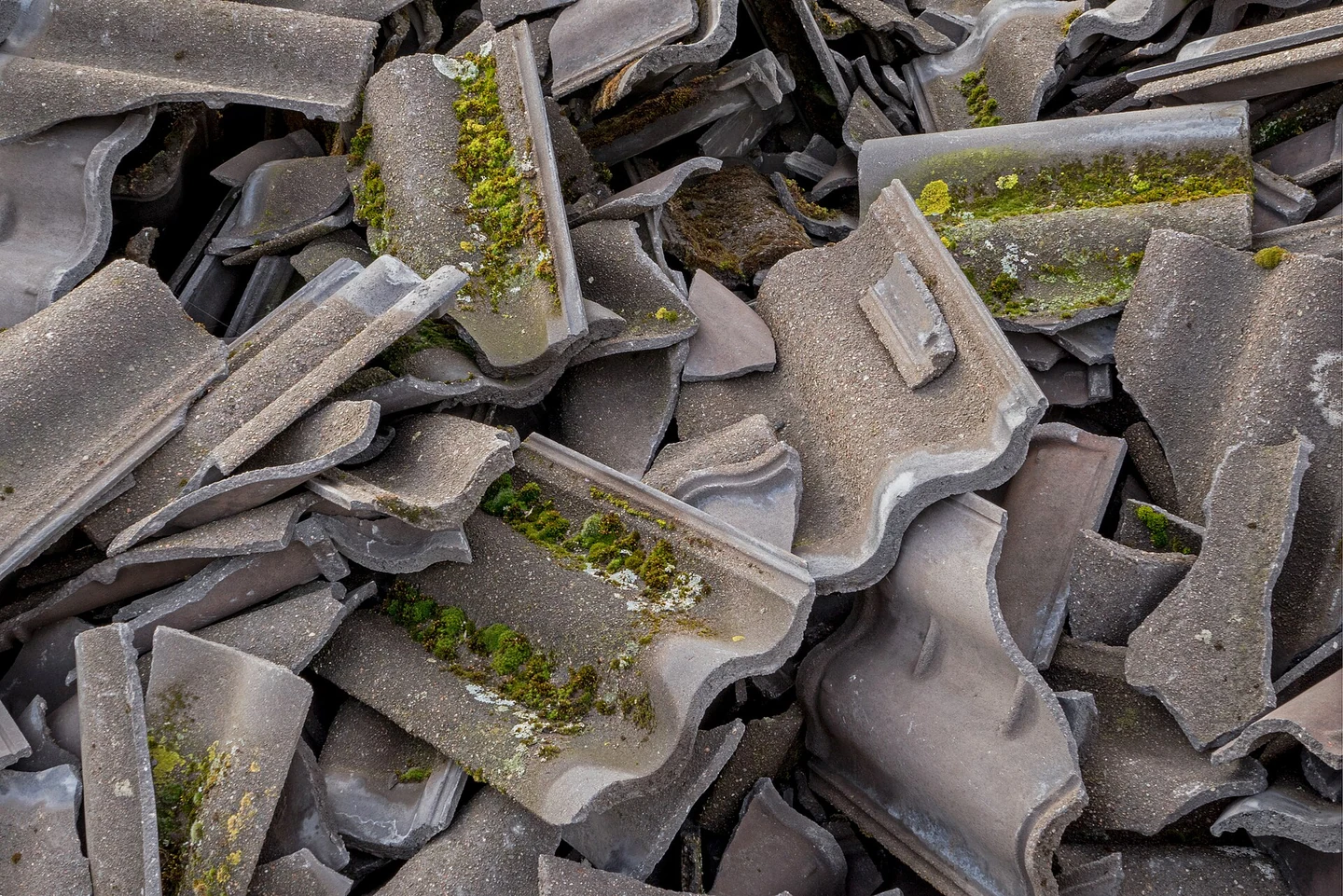
Combine orientation views with directed observations of areas needing review. Check whether surfaces, joints, or relevant small parts are readable in original files. Optical zoom can help some designs but still needs focus, lighting, and stability tests. A close image is not necessarily more informative if location context disappears. Use views that distinguish actual shape from shadow or reflection. Position changes must follow the operator's site assessment, especially around structures, people, and obstructions; documentation objectives do not override established operating boundaries.
Use thermal imaging for an appropriate question
Thermal patterns can help investigate building surfaces, but meaning depends on materials, environment, and purpose. A pattern alone does not prove a leak, insulation problem, or another cause. Agree timing and conditions with someone who understands the building and inspection method. Record weather, previous surface heating, and known operating state. Where evidence supports only pattern screening, report it that way and define verification needs. Do not describe thermal imagery as seeing through every roof layer; other measurements or physical inspection may still be required.
Review shadow, reflection, and obstruction
Glass, metal roofing, and façades can change appearance with view and lighting. Investigate context before assigning a condition label. Identify areas behind parapets, equipment, and additional structures that the planned route cannot observe. Record coverage limits rather than implying equal visibility over the whole surface. Additional viewpoints need appropriate operational planning. Do not use an apparently complete model to imply that missing evidence exists. Honest completeness information helps managers distinguish an area showing no unusual observation from one not adequately documented at all.
Choose a purposeful role for a 3D model
A model can orient findings and communicate shape without retaining every detail of source photographs. Texture may conceal blur or weak coverage. If measurements are intended, establish georeferencing and accuracy assessment separately. If the model is only a navigation aid, explain that role. Link findings to original images so technicians need not depend on projected texture for close review. Choose the model because it helps the work, not because it looks impressive. Simple documentation with clear locations can be more useful than a complex but poorly traceable representation.
Interpret findings with building history
Repair records, material changes, use of spaces, and previous events can explain observations. Compare findings with that history before calling them new deterioration. Staining, joints, or color differences may have explanations invisible in the imagery. Technical examiners should decide when other methods are required. Separate visible facts, suspected causes, and follow-up. When comparing older photographs, examine whether angle, light, and surface conditions are comparable. Building history turns aerial images into more meaningful evidence within asset management rather than leaving them as isolated visual details.
Make the report practical for managers
Provide buildings, zones, finding numbers, context images, detail, and capture conditions. Explain areas not adequately observed. If priorities are assigned, identify their basis and appropriate technical agreement. Avoid confirmed-damage language where evidence only shows a different pattern. Include follow-up status that can be updated after review or repair. Managers should relocate the target without bringing the drone operator into every conversation. Location clarity and evidence status often determine whether inspection supports maintenance or merely enlarges a documentation folder nobody can use effectively.
Plan repeated inspections from evaluated outcomes
Preserve verification outcomes linked to the original images. Use them to select repeat targets and more suitable observation conditions. Maintain zone identities and reference views, noting changes in capture methods. Assess whether camera detail, gimbal support, or thermal sensing actually answers technical needs. Begin NiVO consultation with examples and desired outputs together with site constraints. Drone use can then develop into a traceable condition-documentation program, while building decisions continue to rely on suitable evidence and whatever additional inspection methods the asset requires.
Illustrative case: distinguishing an unseen roof zone from a clear result
Consider a hypothetical building inspection in which rooftop equipment hides part of a roof membrane from the planned viewpoints. The visible areas are documented clearly, and the draft summary says that no unusual condition was found across the roof. During review, the building examiner asks whether that statement includes the concealed zone. The operator can show a flight track passing nearby but cannot produce a readable source view of the surface behind the equipment. The team changes the coverage statement rather than treating aircraft proximity or a textured model as proof that the zone was inspected.
The report separates adequately observed surfaces from areas requiring another view or method. Context and detail images are linked to roof-zone identities, while thermal observations retain their acquisition conditions and are not described as proof of hidden moisture. The owner supplies repair history that may explain visible surface differences, and the examiner decides which questions require further investigation. An alternative aerial view is considered only through the appropriate operating review. If it cannot meet the evidence need, the gap remains explicit instead of being visually filled in the final presentation or quietly classified as normal.
Two decisions are compared: accept a bounded visual-documentation deliverable, or extend the scope to obtain evidence for the concealed zone. Neither is represented as complete technical clearance of the building. Handover requires a coverage diagram, original image links, stable finding identities, and a clear list of unresolved questions. A facilities colleague tests whether the specified zone can be located without contacting the pilot. This hypothetical example shows that a useful report distinguishes absence of an observed anomaly from absence of observation, allowing the owner to plan follow-up without reading more certainty into the data than the actual acquisition supports.