Writing Drone Survey Metadata That Keeps Data Understandable
Document origin, coordinates, time, processing, quality, and use limitations so drone datasets remain usable after handover without relying on the team's memory.
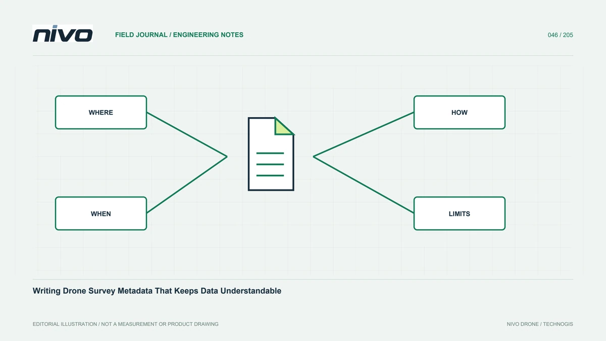
Answer the essential questions about a dataset
Metadata explains what was observed, where, when, how, and for what purpose. Without it, an orthomosaic or cloud can lose meaning when transferred. A project name and date do not define coordinates, surfaces, or testing limits. Plan records from the beginning rather than reconstructing them after the field team leaves. Use a consistent structure for sessions and outputs. The goal is not a long document with little value, but practical answers enabling recipients to open, assess, combine, and use information appropriately for decisions within their own responsibilities.
Use stable and unique identities
Connect project, area, session, equipment, and product through consistent identifiers. Distinguish readable names from codes used to link files. Record responsibility, purpose, and relevant data-management contacts. Explain boundaries and relationships between blocks or capture dates. A name such as latest changes meaning and is not an adequate version identity. Clear identifiers connect summary reports with main data without requiring recipients to know the original discussion or computer folder history. They also make later queries about a particular area easier to trace back to its source observations and review decisions.

Describe references completely
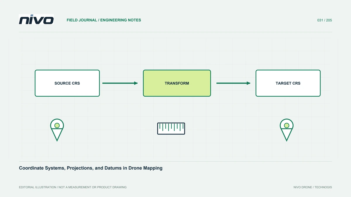
Record horizontal system, units, height system, and transformations. Include authority codes where available and definitions needed for local frameworks. Do not merge ellipsoidal heights, geoid-based elevations, and project benchmarks under an ambiguous label. Preserve relevant model versions and links between original and transformed coordinates. A verified example point may help recipients test interpretation. Reference metadata matters because software can display data plausibly through automatic transformations while exported or integrated values remain wrong. The record should support an independent reader who cannot ask the original processor which reference convention was intended.
Record capture time, equipment, and conditions
Keep dates and observation intervals, aircraft and sensor identities, relevant settings, and session changes. Note conditions affecting quality, including strong shadows, dust, moving vegetation, or restricted access. When imagery or trajectories span several sessions, retain their temporal boundaries. This context helps interpret moving objects and site changes and improves fairness in repeat comparisons. It need not include every irrelevant detail, but should preserve information known to affect quality or meaning. Without those records, a recipient may attribute a difference to physical change when it actually arose from capture conditions or configuration.
Preserve processing lineage
Identify relevant software versions, main stages, important choices, and relationships between outputs. An elevation raster should point to its source cloud, selected classes, grid, and missing-data treatment. A change map should identify its source dates. Retain settings needed for repetition and distinguish automatic operations from manual edits. Record exclusions and their reasons. This lineage explains differences after revision and prevents recipients assuming all files with the same project name came from identical inputs or processing. It also helps another team determine whether a requested derivative can be reproduced from the archived evidence.
Report quality through available evidence
Separate resolution, density, completeness, relative precision, and independently assessed accuracy. Include testing method, checkpoint distribution and count, major results, and limits. Avoid replacing evidence with a broad phrase such as high precision. State where assessment covers only selected conditions and identify areas failing requirements. For visual products, note seams, moving objects, and difficult surfaces. Users can then judge suitability for a new purpose rather than assume every desired characteristic was previously proven. Retain supporting maps and tables alongside summaries so a technical reviewer can inspect the basis of a conclusion when necessary.
Explain use and access limitations
A dataset can have technical, spatial, temporal, or distribution limits. Record relevant restrictions and their actual project basis. Examples include a surface model not processed into terrain, unreliable water elevations, or observations predating later site work. Distinguish technical limitations from access conditions, and avoid unsupported legal assertions. Identify the contact for version and use questions. Clear explanation reduces use beyond observational capability while helping recipients determine when additional checking is needed. It also preserves the distinction between a known limitation and information simply absent from the documentation, which might otherwise be wrongly assumed to have been verified.
Choose a maintainable structure
Human-readable notes and structured records can complement each other. Select formats for recipient and agreed standards, using consistent identifiers, dates, units, and class codes. Do not hide essential metadata only in folder names. Include a file index or README linking products and supporting documents. Test whether embedded information remains readable in the destination application. Copy metadata with datasets during transfer, backup, or upload. Data files may be successfully moved while their meaning is lost if supporting records are omitted. A maintainable structure makes routine updates possible without rebuilding the entire explanation for every new output.
Test one complete package with another reader
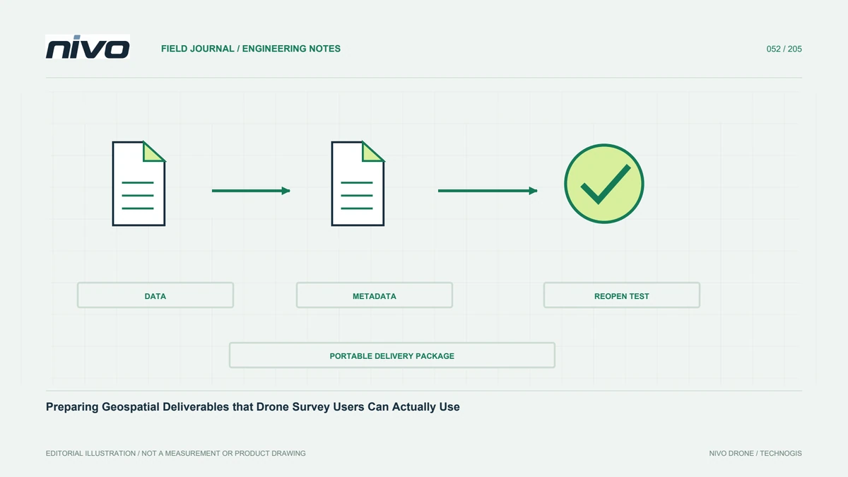
A practical package can describe project, area, capture interval, equipment, references, products, processing, assessment, and limitations. Link every output to a version and relevant source. Where several NiVO payloads were used, explain which products came from each and how their relationships were checked. Ask a team member uninvolved in processing to open the package and answer basic questions using metadata alone. Their difficulties identify what needs clarification. This turns documentation into a working usability tool, ensuring that data remains understandable after handover rather than depending on a specialist's memory.
Illustrative scenario: reopening a survey after its processor leaves
Imagine a hypothetical project handed to a new GIS analyst after the original processor has moved to another assignment. The folder contains several elevation rasters, a cloud, and a file called final map. The analyst cannot tell which raster represents ground, which height reference applies, or which version supports the issued report. Instead of inferring meaning from appearance, the team examines the product index and available processing records. Missing explanations are treated as information gaps to resolve. The reconstruction of context uses traceable sources and responsible project contacts rather than a new assumption that all files with the same project name share identical meaning.
The coordinator assembles a concise lineage table linking capture sessions, source versions, important processing choices, and assessment evidence to each output. References, units, NoData treatment, and surface definitions are recorded explicitly. A verified example helps the new analyst test coordinate interpretation. If a relationship cannot be established, that file is not promoted into the approved analytical package merely because it opens successfully. The team compares a long unstructured narrative with a short usable index and selects documentation that lets recipients answer practical questions while retaining the technical evidence needed for deeper review.
Before closure, someone uninvolved in processing follows the opening instructions from the delivered copy and reports unresolved ambiguities. Corrections are applied to the documentation and version index without silently changing historical outputs. This hypothetical case shows metadata working as an operational tool rather than an administrative afterthought. It preserves both usability and the distinction between known facts, documented assumptions, and missing information, allowing future users to assess whether the survey supports a new purpose instead of relying on memory that is no longer available within the team.