Preparing Geospatial Deliverables that Drone Survey Users Can Actually Use
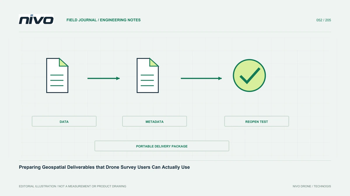
Package main data, metadata, assessment evidence, indexes, and opening guidance so recipients can understand and verify drone products after a complete handover.
Agree deliverables before capture
Useful deliverables begin with recipient needs, not every output the processing application can generate. Define main products, purposes, formats, references, detail, and assessment. Separate analytical data from communication previews. Add requirements such as classification or tiling early so observations support them. A clear list reduces expectation changes near completion and guides review priorities. Handover is more than transferring large files: it provides information that can be opened, understood, and assessed against agreed scope. This shared basis lets both teams recognise whether a missing product is an unfulfilled requirement or an additional request requiring a different workflow.
Name products according to their meaning
DSM, DTM, orthomosaic, mesh, and cloud labels should match content and processing. Do not label a canopy-containing raster as terrain without suitable explanation. Distinguish original, filtered, classified, and lightweight clouds. Use consistent project, block, date, and version identities. Names such as final or latest alone become ambiguous after revision. Supply an index explaining each file and its approved use. Recipients should not have to infer purpose from file size or display colour, and a convenient preview should not silently become the source for analysis that requires the main accepted product.
Preserve references and units
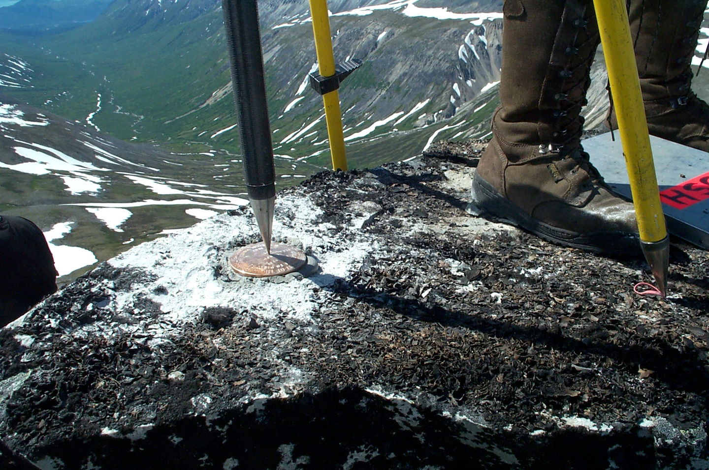
Products need enough coordinate information, embedded in the format or supplied through accompanying metadata. Record horizontal system, units, height reference, and transformations. For local frameworks, provide the necessary definition or connection outside the original workstation. Test interpretation in recipient software. Explain justified differences in grid or coverage between outputs. Export from one processing project does not automatically make every file consistent. Final-package reference checks preserve usability when products are combined with design, ground measurements, and archives that have their own definitions and histories, reducing the chance of a visually plausible but analytically incorrect overlay.
Choose formats for the destination
Formats must suit the data type, required attributes, and recipient applications. Rasters, vectors, clouds, and meshes have different needs. Consider size, compression, metadata, and potential attribute loss during conversion. Do not replace coordinate-aware analytical data with an ordinary image simply because it is easier to display. Explain lightweight copies' relationship to main products. Test a sample before exporting everything. Early format agreement avoids late rework, especially where recipients use equipment or applications with limits on large datasets or specialised attributes. A format is useful only if its relevant information survives the actual exchange.
Include relevant quality evidence
Supply methodology, independent checkpoint results where used, valid coverage, and findings affecting use. Keep resolution, density, relative precision, and tested absolute accuracy distinct. Internal control residuals are not interchangeable with independent evidence. Maps and tables should let reviewers trace assessment locations. Identify areas not meeting requirements and their response or agreed limitation. Summaries may serve general users, while technical evidence remains available. This enables suitability judgements based on the intended task rather than the appearance of a selected preview or an unqualified assertion that all delivered data is highly accurate.
Keep metadata and lineage with the products
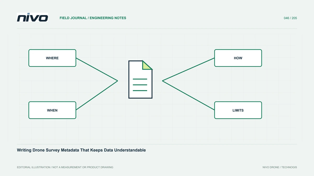
Metadata explains origin, capture time, equipment, processing, references, and limits. Link each output to relevant sources and versions. Record manual editing, poorly observed areas, and interpolation. Preserve these records during transfer and archiving instead of leaving essential information in conversations. Consistent structures help recurring projects distinguish actual site change from changed methods. Lineage keeps data useful when staff change or a new question arises after completion. It also allows reviewers to determine whether a revised result uses new observations, corrected references, or different processing of the same source material.
Provide an index and opening instructions
A short guide should explain folders, product list, formats, relevant applications, and basic sample opening. Tiled datasets benefit from a spatial index and tile identities. If a GIS project is included, test portable links elsewhere. Distinguish temporary material from files recipients must retain. Identify approved versions and a data contact. Clear instructions save time and reveal missing dependencies while the handover is still being assembled. Every described opening step should work from the delivered package, without relying on hidden files, local paths, or knowledge available only to the original processor.
Verify the copied package
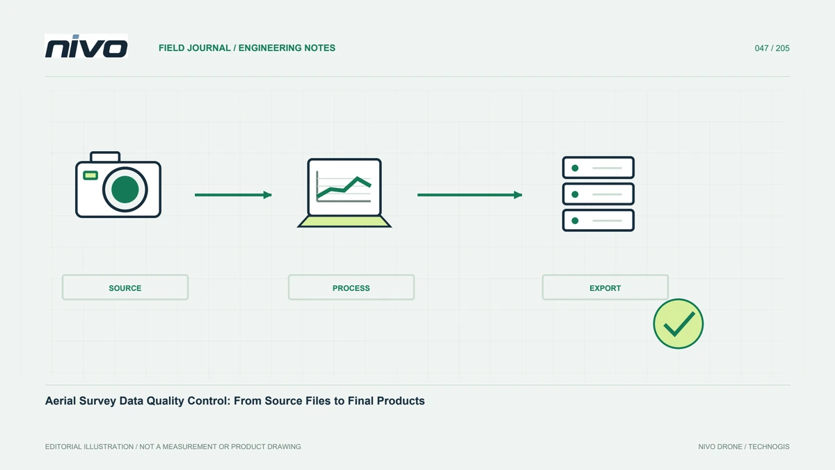
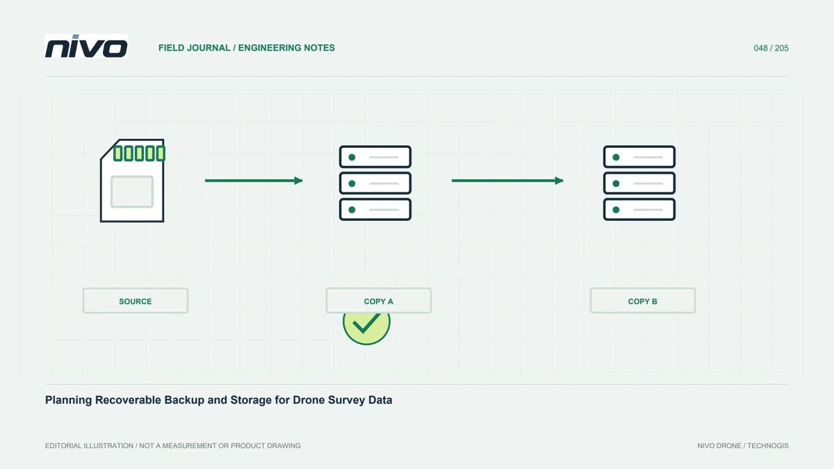
Compare the transfer against the agreed list and a suitable manifest. Open important products from the actual destination copy, not only the source working folder. Check coordinates, attributes, texture, metadata, and project links. Confirm that reports describe the same versions as the data. Test distribution access under project rules without unnecessary widening. Verification after copying protects the quality already achieved from a final-stage loss through missing files, changed folders, or unreadable auxiliaries. A successful transfer message is useful but does not by itself demonstrate that recipients received a complete and usable analytical package.
A handover that serves several teams
A package can contain main data, review copies, coverage indexes, metadata, quality records, and a tested README. Field staff use maps and location identities, analysts use suitable source products, and managers read findings with their limits. Where several NiVO payloads were used, explain actual relationships between available RGB, LiDAR, or other products. Ask someone uninvolved in processing to test opening and record confusing steps. Clarify these before acceptance. The survey then remains usable without the processor's presence, while preserving enough evidence and context for responsible analysis and future review.
Illustrative scenario: a complete folder is not yet a complete handover
Imagine a hypothetical survey delivery containing every export the processor could generate. The folder is large, but users cannot identify which raster supports terrain analysis, which cloud is classified, or which tile covers their work area. The project coordinator compares the contents with the agreed deliverable list rather than equating file count with completion. Main analytical data, lightweight review copies, intermediate work, and supporting records receive distinct identities. Products are named by what they actually represent, and the report is linked to the matching version instead of relying on a file called final that may have been replaced during review.
The team considers whether adding more formats would solve the problem or simply create more ambiguity. It chooses a usable index, relevant metadata, and recipient-compatible formats while preserving the primary information. A tile map connects areas to files. References, units, valid coverage, and known limitations are stated. The package is opened from its destination copy by someone who did not process the survey. That person follows a sample analytical task and reports missing context or dependencies. Verification includes the appropriate attributes and supporting evidence, not merely a successful preview image.
Acceptance records which outputs are approved, where assessment evidence can be found, and who handles questions about later revisions. The archive preserves lineage so the delivery can be understood without private messages or the original workstation. This hypothetical example treats handover as transfer of usable information, not just successful copying. A smaller, well-defined package can serve recipients better than an unexplained collection of every possible output, provided the agreed data and evidence remain available. The distinction protects both practical usability and the ability to trace future decisions back to the observations and methods that supported them.