GNSS Multipath Near Reflective Surfaces: An Evidence-Based Review
Assess possible reflected-signal effects using antenna surroundings, repeatable observations, receiver evidence, and independent positional checks.
Describe the surroundings, not just the solution label
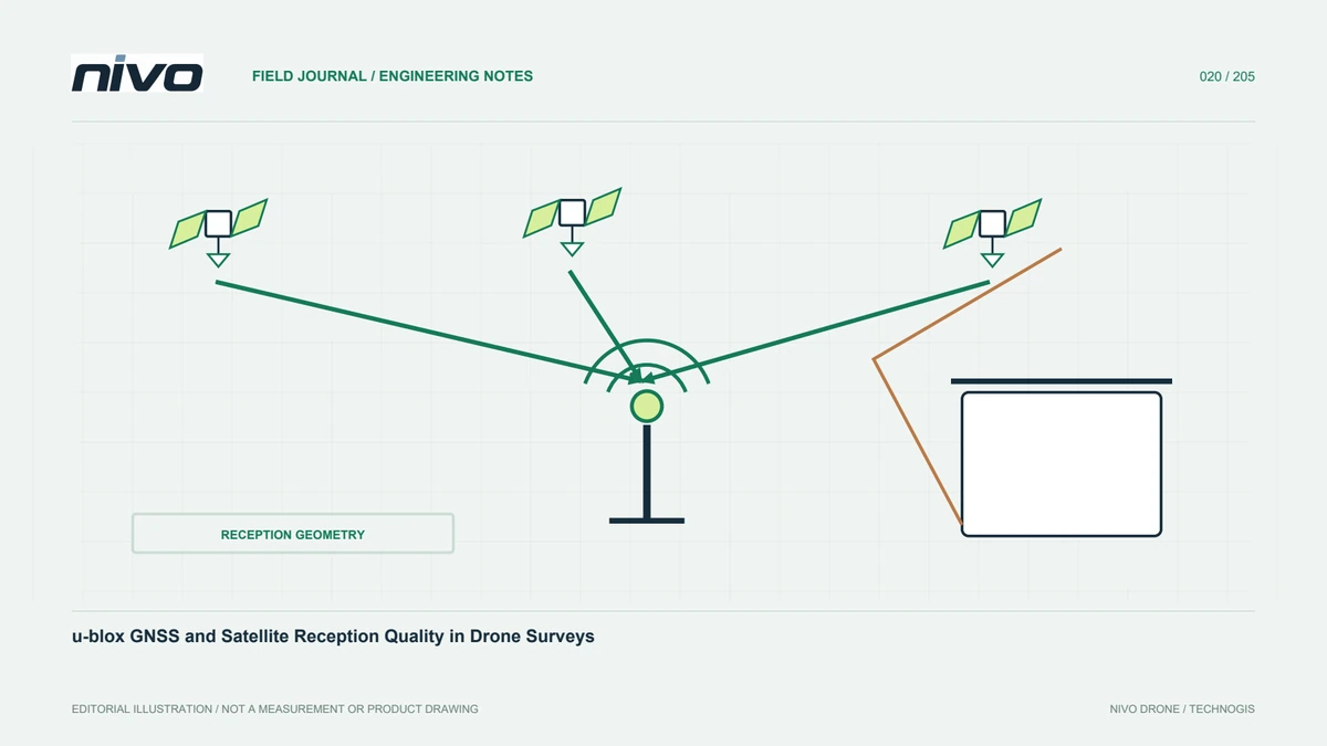
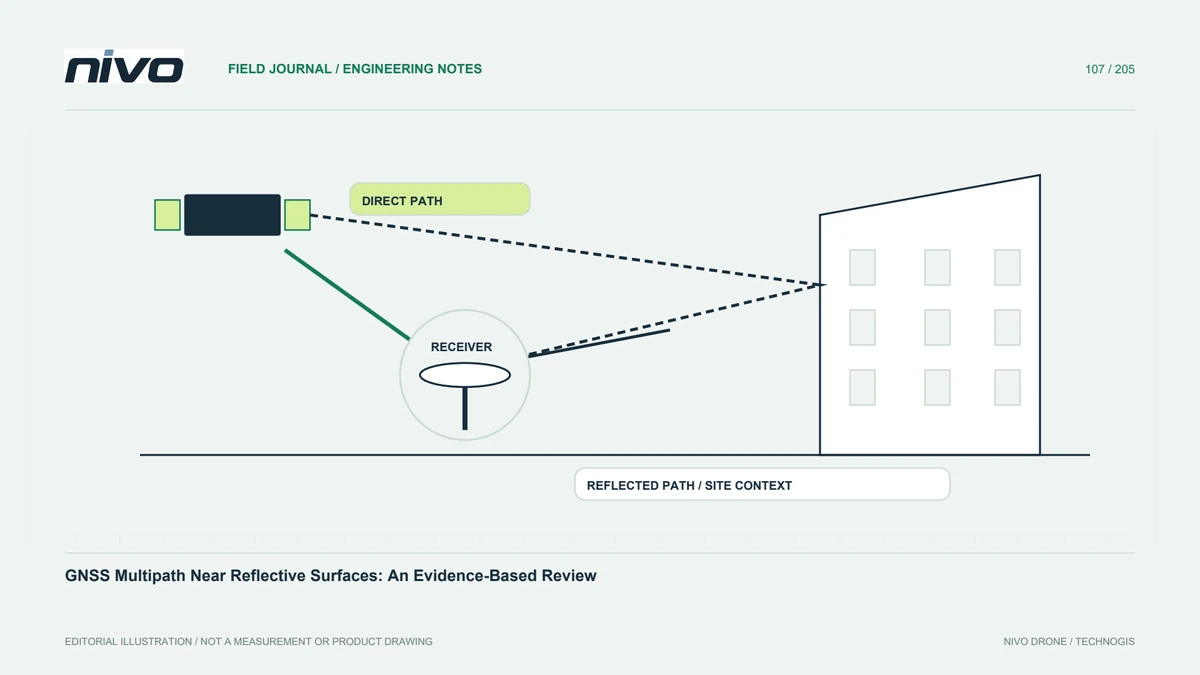
GNSS signals can reach an antenna by direct and reflected paths. Nearby surfaces and geometry therefore belong in the investigation when position behavior changes. Record buildings, vehicles, metal equipment, water, and the antenna's relative location without assuming every nearby object caused the symptom. A favorable solution label does not describe all measurement errors. The first useful output is an identifiable observation location and a clear account of what changed.
Separate obstruction from reflection hypotheses
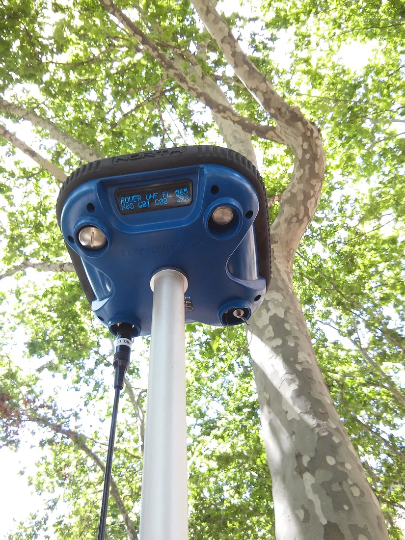
Blocked visibility and reflected signals can affect observations in different ways, while interference and installation issues provide other possible explanations. Do not label all poor reception as multipath. Review the actual antenna arrangement and available receiver information. Preserve photographs with orientation and time so the environment can be understood later. A specific hypothesis makes further checks purposeful; a broad label can encourage moving equipment repeatedly without learning which condition mattered.
Compare conditions with controlled context
Where the responsible process permits, compare suitable observation locations or installation conditions while preserving device settings and documenting other changes. Different times can have different satellite geometry, so an apparent improvement needs careful interpretation. Retain both successful and problematic intervals. A single clean plot in an open area does not establish what happened near the structure, but it may help distinguish an environmental question from a persistent equipment issue.
Use receiver indicators as evidence, not verdicts
Review available signal, observation, solution, and quality records using the manufacturer's definitions. Satellite count alone cannot diagnose reflected paths, and a smooth position trace can still carry bias. Document missing information rather than manufacture a definitive cause. Technical personnel may need additional analysis to evaluate the suspected effect. The report should distinguish directly observed behavior from an explanation inferred from the surrounding materials and geometry.
Check positional consequences independently
If observations support mapping or control measurements, evaluate the relevant results against suitable independent references. State timing, coordinate definitions, and the conditions represented by those checks. Agreement at one location does not prove equivalent quality everywhere around reflective structures. Where evidence is insufficient, retain a use limitation or obtain additional observations through an evaluated method. Do not hide a local uncertainty by quoting a project-wide average alone.
Turn the finding into a repeatable site record
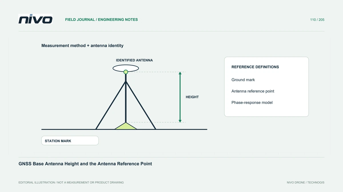
Keep the antenna identity, environmental photographs, receiver settings, evaluated intervals, and supported conclusions together. Mark locations requiring renewed assessment when vehicles or structures change. This helps NiVO field teams plan GNSS work with concrete context rather than rely on a generic open-sky description. The outcome should explain where evidence supports use, what remains uncertain, and why any revised installation or observation method was selected.