Mission Planner and QGroundControl in Drone Survey Workflows
Understand ground-station roles, mission planning, configuration, logs, offline preparation, and version control when using Mission Planner or QGroundControl for surveys.
Connect the ground station with the whole job
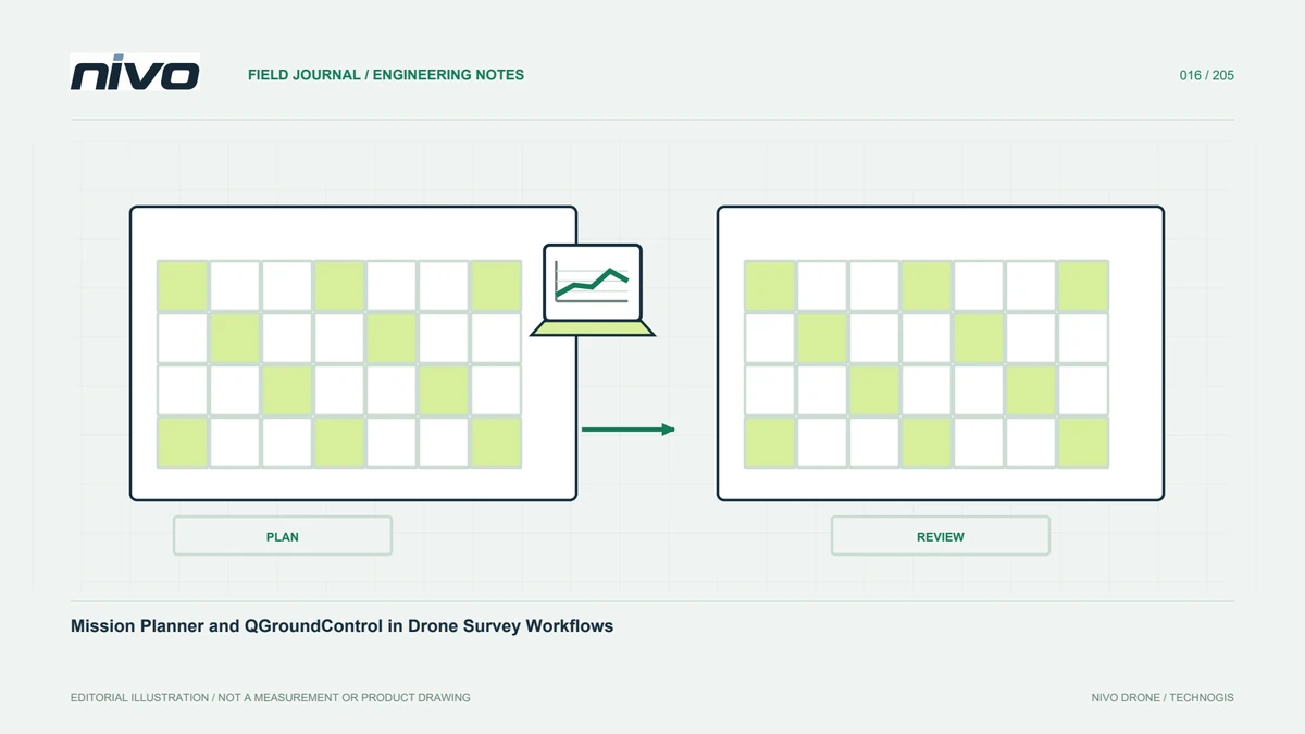
A ground station can support configuration, planning, monitoring, and post-flight records according to the system. Mission Planner and QGroundControl document their respective environments. Selection must follow the aircraft integration already reviewed. Similar maps and tracks do not make applications interchangeable. Assess feature support, records, and training. The aim is consistency between plan, execution, and evidence. A useful evaluation includes the staff handling data after flight, not only the operator viewing a mission on the screen during a demonstration.
Start with a supported configuration
Check application version against firmware and the accepted aircraft setup. Sharing a protocol does not guarantee identical support for special functions. Ask the integrator which application is the reference for setup, operation, and checks. Record versions per project. A proposed change of application needs assessment rather than being treated as a cosmetic choice. Test mission content, parameters, and records under an approved procedure. This reveals differences before the aircraft is on site and the team is committed to producing a deliverable.
Review more than the visible track
A mission contains instructions interpreted by the aircraft. Similar-looking paths may not have equivalent contents. Review commands, height references, initial and final phases, and payload-related settings. Processors should assess acquisition suitability. Save the approved mission with a clear version. Do not overwrite the only copy after a field change. Understand the relationship between the saved, uploaded, and read-back plan. This gives technical support a reliable basis for determining which instructions were intended and which mission state was associated with the recorded flight.
Prepare maps and supporting data
Field connectivity may differ from expectations. Review the application's map and supporting-data requirements before travel. Identify sources, boundaries, and elevation data. Do not assume a map once opened in the office will be available everywhere on another device. Check relevant surrounding areas too. Record age and quality limitations. Maps support planning but do not replace inspection of new obstacles or changed site activity. Good preparation treats availability as something verified, rather than a hidden dependency discovered only when the team reaches the field.
Separate missions from aircraft settings
Mission files and system configuration serve different purposes. Define storage and change responsibility for each. Do not address a boundary-planning problem through an unreviewed aircraft parameter change. A new payload may conversely need more than redrawing the route. Record reasons and acceptance evidence. Calling every adjustment a mission setting loses important distinctions between temporary project planning and controlled base configuration. Keeping those layers clear makes support requests more precise and helps operators know which changes require technical assessment before they can be used.
Organise monitoring and communication
Operators need to interpret indicators with field conditions. Use training examples to align observer reports with the actual interface. Display arrangements should not obscure essential information. Equipment use follows the approved procedure. Document relevant differences between users, particularly where several staff share responsibility. Consistency helps handover, but it does not replace understanding the aircraft. The team should know what the interface can establish, what it cannot, and when further context is needed before interpreting a display change as a particular system event.
Confirm records can be collected
Know what the application stores and what must come from the aircraft or payload. Link project, mission, aircraft, and time in the storage arrangement. One log type does not prove the complete evidence package exists. After each mission, compare files with processor and evaluator requirements. Keep originals and working copies organised, and record omissions. This makes later investigation honest about available evidence and avoids searches after the equipment has already been used elsewhere or the files have lost their original identities.
Review updates before routine use
An update can change functions, interface, or support. Check release information and compatibility before production work. The field should not be the first place the operator learns an unfamiliar interface. Use approved tests for planning, storage, and collection. Retain relevant earlier documentation under the organisation's policy. Schedule updates according to benefit and readiness, not merely a notification. This preserves a clear relationship between the configuration that was accepted and the application the team actually uses to plan and monitor a mission.
Judge continuity of the workflow
In acceptance testing, ask the operator to demonstrate a revisitable mission and complete evidence delivery using a representative project. Involve the processor. If several applications are used, define their boundaries and prevent file confusion. The arrangement can remain simple when documented. Mission Planner and QGroundControl belong within a wider system of aircraft, firmware, payload, staff, maps, and procedures. It is the quality of those connections that determines whether the ground station supports repeatable surveying rather than merely presenting an attractive map display.
Illustrative case: reviewing a ground-station application change
Suppose a hypothetical team proposes changing the application used to prepare survey missions. The new screen displays a path resembling the approved example, so the change initially appears cosmetic. The mission lead instead checks the installed aircraft configuration, firmware support, and the supplier's reference workflow. The team reviews command contents, height references, acquisition settings, and the way files are saved and read back. The processor confirms which recording outputs must remain available after the change. Staff also check supporting map availability before travel rather than assuming that an office session guarantees field access. A representative rehearsal follows the approved assessment process, with both application version and mission identity recorded. If a difference is found, the team documents its significance instead of manually changing aircraft parameters to make the display look familiar. This hypothetical case does not claim that either application is universally preferable. It demonstrates how to distinguish interface similarity from workflow equivalence. The accepted outcome includes an understandable plan, a complete evidence package, and training material matching the actual tool. A later operator can then identify which application belongs to each task without mixing files from different preparation methods.
Keeping the existing application while evaluating the proposed workflow may protect continuity, while adopting the new tool after acceptance may address a documented need. The distinction is reflected in staff instructions and file locations. The handoff includes a checked mission example, required recording outputs, and a version-specific training reference. The team also demonstrates how to distinguish source mission files from copies prepared by another method. Acceptance therefore proves an understandable workflow rather than visual familiarity. It allows later support to reproduce the relevant preparation process instead of guessing which application and settings were used to produce a similar-looking map path.