Checking Offline Terrain Data Before Remote VTOL Surveys
Distinguish cached imagery from onboard elevation data and verify the coverage, references, versions, and availability needed by the actual mission.
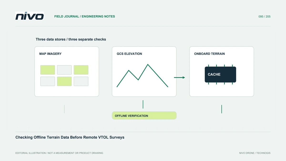
Separate map pictures from elevation information
A ground station displaying a detailed background map does not prove the aircraft has terrain elevations needed by a supported function. Imagery, local mission files, ground-station elevation sources, and the autopilot terrain cache have different roles. Identify which information each stage requires. This distinction matters before remote work because an attractive office preview can conceal missing data that only becomes apparent after internet access is unavailable.
Identify the mission's terrain-dependent functions
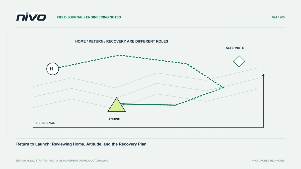
Review whether the installed configuration uses terrain information for planned flight or supported return behavior. Do not assume every NiVO model or software arrangement implements the same features. Record the required geographic extent, including relevant waypoints and alternative locations. The question is not merely whether a cache directory exists, but whether the actual mission has the information its evaluated functions require under the expected connection conditions.
Review source meaning and limitations
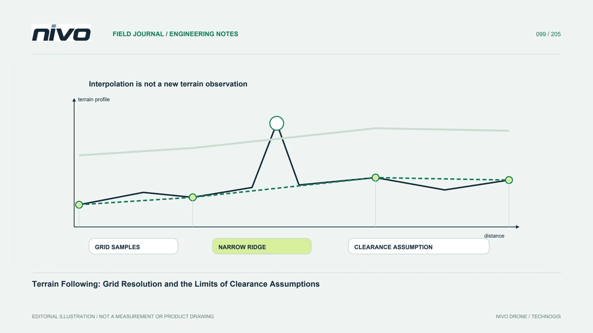
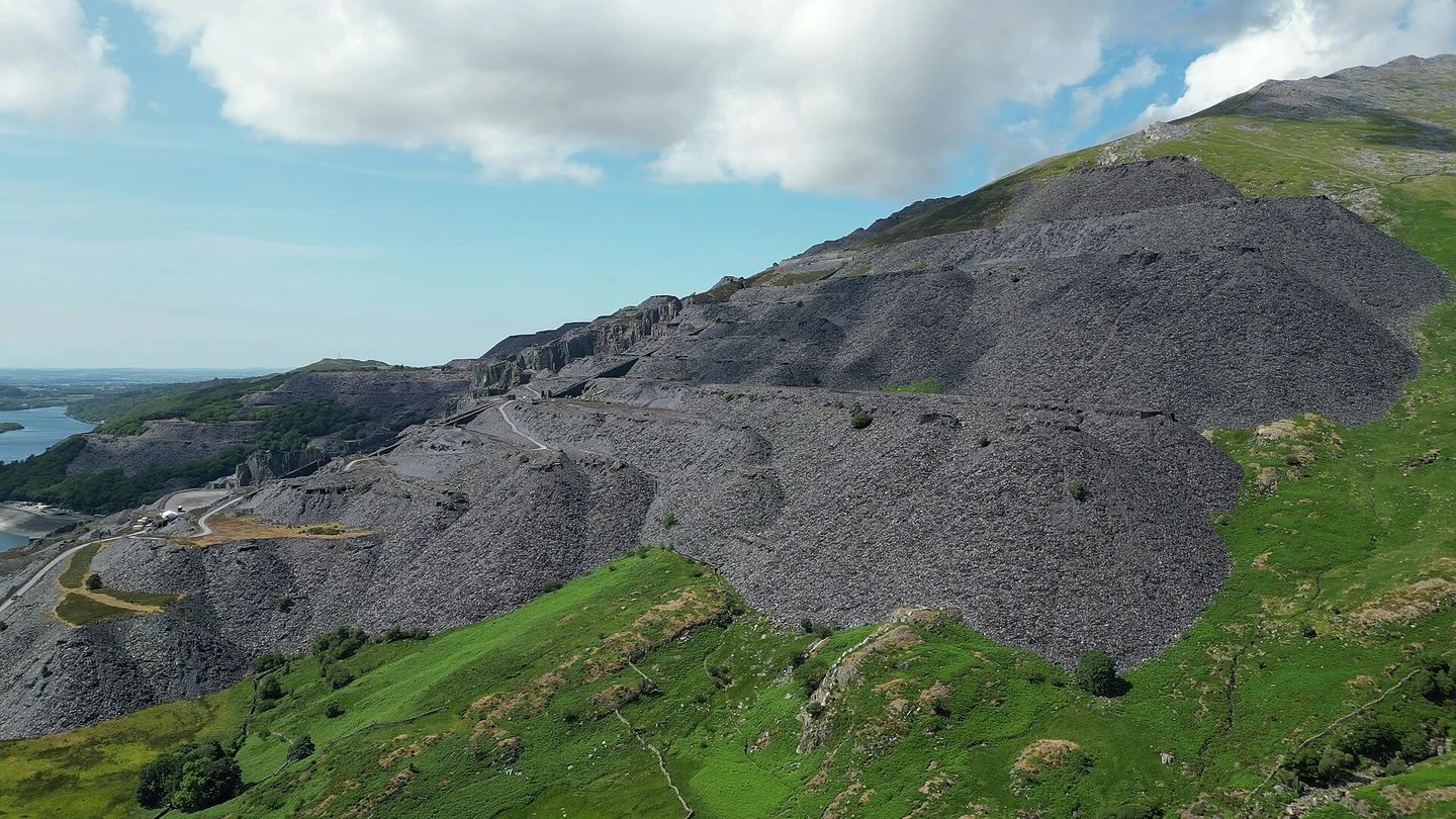
Elevation information has a reference, grid spacing, source history, and possible gaps. It is not automatically an obstacle model or a current survey of trees and structures. Keep those limitations visible in the planning record. A cached terrain value should not replace site assessment. Where important landform detail is uncertain, obtain suitable information and technical review instead of assuming that a successful data download guarantees operationally adequate representation.
Verify availability on the relevant device
Use the documented tools and messages to establish which terrain information is present where it is needed. Ground-station storage and aircraft storage should not be treated as identical. Record the checked coordinates, mission version, and any pending or unresolved requests. Perform the connectivity assessment within the approved preparation workflow. A file found on one computer cannot prove that another device will supply it during the remote operation.
Reassess after changing the plan
A revised operating site, extended corridor, alternative point, or different waypoint can create new data requirements. Repeat the relevant checks rather than relying on an earlier successful preparation. Keep source and cache information associated with the loaded mission. If availability remains uncertain, resolve it before depending on the function. The appropriate response may involve revised planning, additional preparation, or another evaluated method, not an undocumented assumption that missing data will arrive later.
Hand over an understandable readiness record
Provide the mission identity, required terrain extent, data limitations, verification evidence, and connection assumptions. Another operator should understand what was checked without reconstructing a technician's download session. Include who responds when the mission changes. This makes offline preparation a reproducible information task and helps remote NiVO teams distinguish confirmed data readiness from a cached map image, while preserving the aircraft manual's authority over operational decisions.