Terrain Following: Grid Resolution and the Limits of Clearance Assumptions
Evaluate terrain-dependent planning through elevation meaning, grid detail, narrow landforms, data uncertainty, and the actual aircraft's supported behavior.
Identify what the terrain source represents
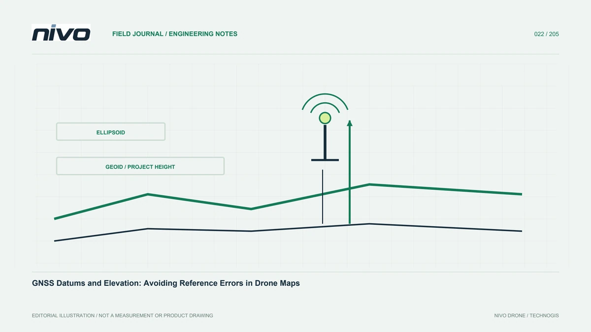
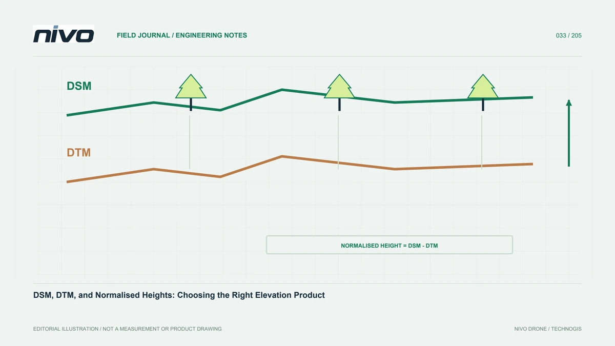
A terrain dataset represents elevation according to its source, processing, reference, and resolution. It is not automatically a current model of buildings, vegetation, temporary equipment, or every landform. Document its meaning before relying on a supported terrain-following function. A colorful height map can conceal these distinctions. The planning question is whether the available information adequately supports the intended operation, not whether the display contains an elevation value everywhere.
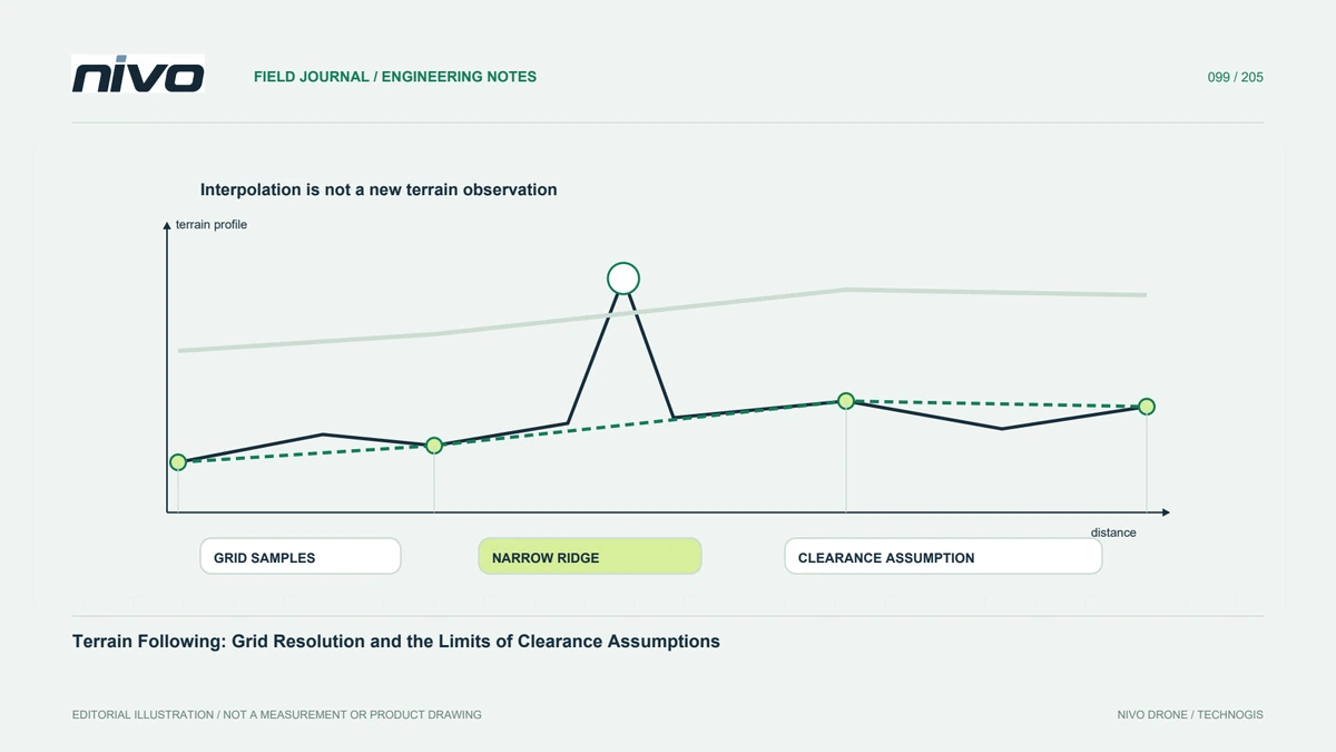
Examine detail between grid locations
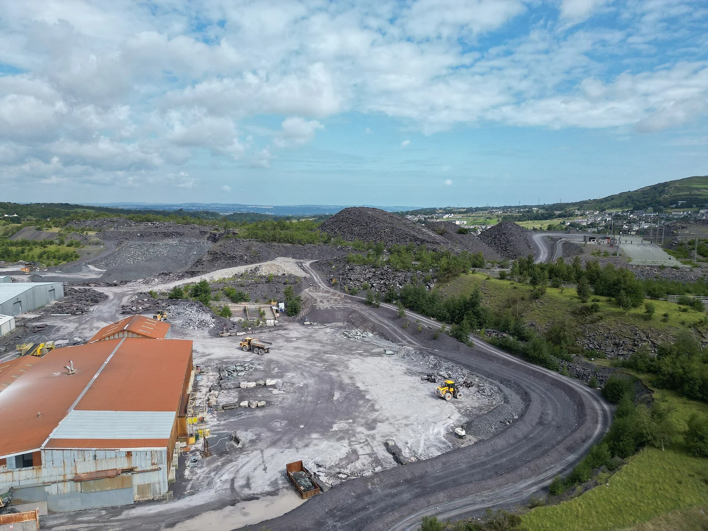
A narrow ridge, embankment, or excavation edge may not be represented adequately by a coarse grid. Interpolation cannot create an observation absent from the source. Review the landform scale that matters to the mission and identify uncertain areas. Do not equate smaller requested grid spacing with a more accurate original survey. Keep source detail and software storage settings separate when explaining what the aircraft's available terrain information can actually describe.
Separate reference error from missing shape
A height-reference mismatch and an unresolved narrow landform create different problems. Confirm units, vertical definitions, transformations, and relevant checks before interpreting discrepancies. Retain examples at known locations. Correcting an overall offset does not repair missing terrain detail, while a denser dataset can still use the wrong reference. The review should identify which uncertainty is being addressed rather than apply one adjustment to make all profiles appear consistent.
Connect data limits with aircraft behavior
Read documentation for the installed terrain-dependent function, including supported mission references and information requirements. The aircraft also has movement and operating limitations; a desired clearance profile is not proof it can be followed. Evaluate the complete route through the responsible process. This article does not prescribe flight heights or universal margins. Appropriate decisions depend on actual terrain evidence, aircraft instructions, site conditions, and competent operational assessment.
Use targeted verification where uncertainty matters
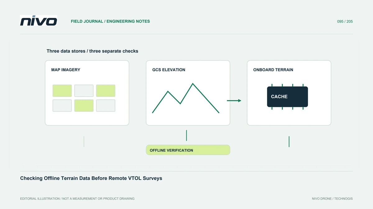
Identify locations whose uncertainty could change the plan and seek suitable information before relying on them. Additional data should have known quality and a reference compatible with the workflow. Compare representative profiles and preserve discrepancies. A successful cache check establishes availability, not terrain truth. If the evidence remains inadequate, revise the mission or evaluated method rather than accepting a visually smooth route as reassurance that missing detail is harmless.
Document the boundary of the assessment
Keep terrain source, version, reference, resolution, checked locations, and unresolved limitations with the mission. Explain what the data does not cover, especially obstacles and changes after acquisition. Update the review when the route or source changes. This creates a defensible information basis for NiVO planning without claiming that terrain following is obstacle avoidance or that a single elevation database guarantees clearance across every part of a remote survey.