Planning a VTOL Takeoff and Landing Site for Survey Work
Review VTOL site access, obstacles, ground-team layout, changing conditions, alternatives, and documentation before approving a professional mapping mission.
Treat the site as part of the system
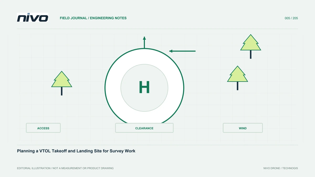
Choosing a site after drawing the boundary may leave the full flight profile unsupported. Review it with the aircraft, payload, and mission. VTOL needs a suitable vertical operating area and space for following phases according to its design and manual. Consider surfaces, obstacles, people, and monitoring. The objective is not the smallest empty patch. It is a workplace supporting approved procedures and coordination, with a connection to the return phase and the survey area rather than just a convenient starting coordinate.
Shortlist using maps
Maps help evaluate access, proximity, elevation, buildings, and vegetation before travel. Select several candidates and check imagery age. Identify unknowns such as wires, temporary activity, and ground condition. Remote review should produce inspection questions rather than an unsupported suitability declaration. A place appearing open and central may still be inappropriate on arrival. Keep the candidate reasoning so the field team can confirm or challenge the assumptions, and so a change of location does not require reconstructing the entire planning process from memory.
Inspect the real environment
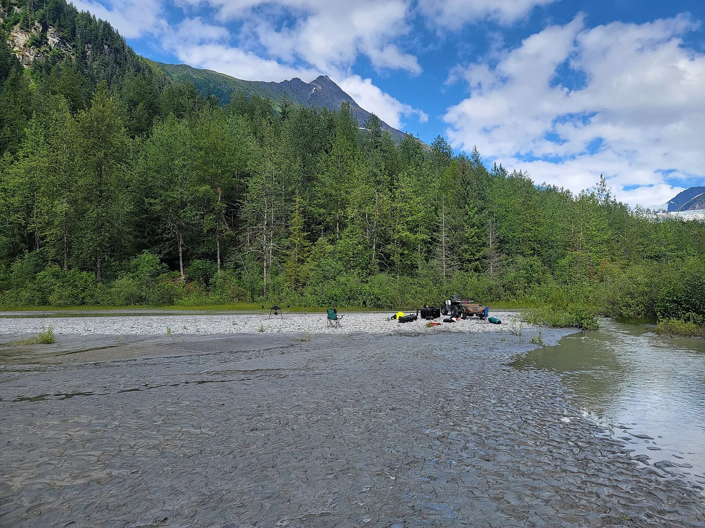
Compare the planned location with actual ground conditions. Inspect obstacles from relevant directions and understand nearby traffic. Apparently level ground can contain loose material or standing water. The operator reviews departure and return paths using the aircraft procedure. Record differences and their effect on the mission. If an alternative is required, review travel, energy, and communication rather than simply shifting the map point. The inspection should also consider where equipment can be prepared without obstructing other activities at the site.
Arrange the support areas
Define locations for the aircraft, ground station, batteries, storage, and supporting personnel using site conditions and operator procedures. Do not substitute generic distances for a configuration-specific assessment. Keep cables and boxes out of personnel routes and preserve vehicle access. A simple sketch supports the briefing and helps newcomers understand the arrangement. This reduces improvised movements during work. It also clarifies which area must remain available and which person is responsible for communicating changed activity around the operational space.
Review changes through the day
Wind and airflow around buildings or vegetation can affect the assessment. Use the observations and limits required by the aircraft, rather than relying on an application forecast alone. Record conditions at inspection and relevant changes later. Activity can also differ between the morning and the final mission. Establish how the field lead reports updates so the operator can review the next plan. An earlier assessment should remain connected to actual conditions, not become a permanent approval regardless of what happens around the site.
Prepare usable alternatives
An alternative is more than a spare coordinate. Assess access, obstacles, and effects on the complete mission. Identify who approves relocation and updates the plan. A move changes distance, entry space, and communications. Document alternatives reviewed under the operator procedure. This supports orderly decisions when the main area becomes unavailable. It also makes schedule discussions more realistic, because the team understands which options are genuinely prepared and which places still require assessment before they could be considered for operations.
Monitor availability until return
Supervision continues after departure. Workers, vehicles, or equipment can enter a previously clear area. Assign monitoring responsibilities and agreed reporting terms. The operator needs current information for the return, not a description from departure. Nearby people may not understand why the area must remain available. Site-manager coordination and suitable access controls belong in the plan. Responsibilities should be practical for the team size, with a clear way to communicate a change while other staff are occupied with the mission or sensor data.
Keep assessment evidence
Store photographs, sketches, project identity, planning coordinates, observed conditions, and responsibility. These explain site selection and reveal changes between visits. Repeated work can prepare faster without omitting fresh inspection. Record problems such as unexpectedly busy vehicle routes. Make the information accessible to relevant staff rather than keeping it only in personal messages. Such evidence is useful when personnel change or when a later flight record needs context. It preserves the reasoning as well as the result of the original assessment.
Link the site with mission approval
Confirm that the inspected site matches the mission version. Everyone should understand layout, observer roles, and alternatives. Resolve changes before preparing for operation. Site records support shared understanding but do not replace the manual or operator judgement. They also help processors explain the first and final acquisition lines. A traceable sequence from inspection through execution to post-flight review connects preparation with operational assessment and data quality. It provides a common record for people who were not present when the field choices were made.
Illustrative case: relocating after the site inspection
Consider a hypothetical survey whose planned operating point is identified from recent imagery. At arrival, the team finds that nearby work occupies part of the expected support area. The field lead does not simply drag the starting point to another empty patch on the map. The operator reviews an alternative already shortlisted during preparation, considering its access and the complete approved flight profile. Staff inspect the surface, obstacles, equipment layout, and activity that could change before return. The mission owner records the revised location and identifies which planning assumptions need another check. The processor is told that the acquisition entry may differ, so the data review can use the correct mission version. A briefing confirms the new layout and assigns responsibility for monitoring its continued availability. This scenario is illustrative rather than a report of an actual project. Its useful evidence includes the site sketch, observations, revised plan identity, and the reason for relocation. If another team returns later, those records provide questions to verify rather than an automatic approval. The example shows that an alternative is a prepared operational option, not merely a spare coordinate that bypasses the original assessment.
The team can use the reviewed alternative when its remaining questions are resolved, or postpone that part of the work while the original area becomes suitable again. The manager records the schedule implication instead of pressuring staff to label an unassessed patch ready. Handoff evidence includes the current access arrangement and the person monitoring changes. An old sketch remains useful as history, but it is clearly separated from the current site record. This distinction helps the next visitor avoid treating a previous project's approval as permission to skip a fresh assessment of a changed workplace.