Wind and Flight-Line Direction in Drone Survey Planning
Connect wind observations with groundspeed, camera triggering, site geometry, mission travel, and data checks when planning VTOL survey acquisition lines.
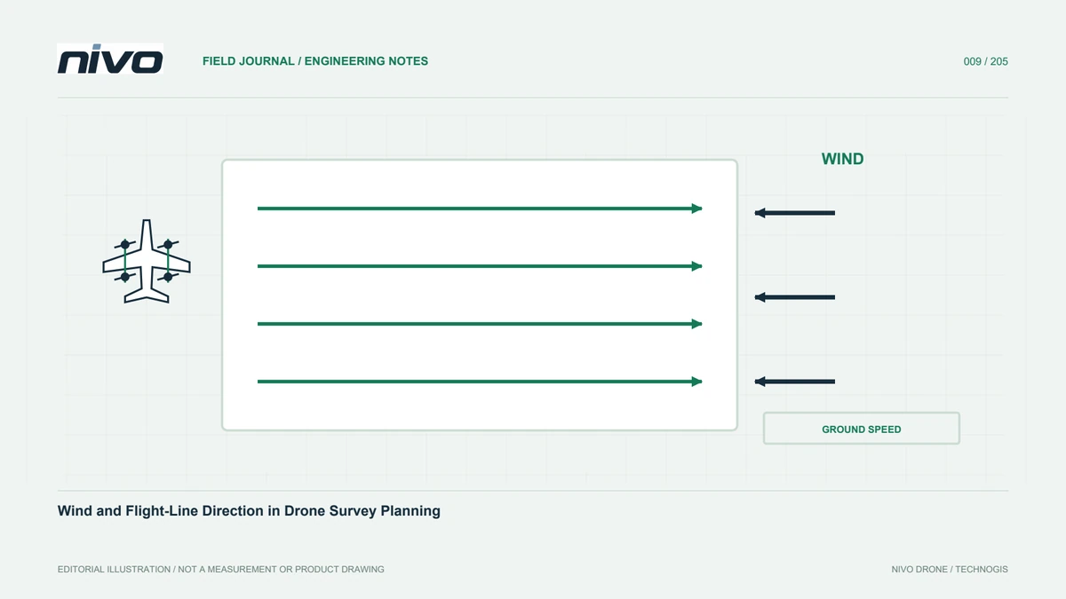
Use wind as a planning input
Wind can affect execution and the relationship between an acquisition plan and actual data. Assessment must follow the aircraft limits and operator procedures. This article supplies no universal wind limit or control action. Its focus is connecting weather information with mission geometry and quality review. Record the forecast source, observation time, and site conditions. These help compare reasonable plans and explain results later. A weather number without location and time is insufficient context for the complete working area.
Distinguish air movement and map progress
Groundspeed concerns movement relative to the surface; airspeed concerns movement relative to air. This helps explain different travel times along lines flown in opposite directions. Processors should understand the distinction when reviewing image spacing and coverage. Do not assume a map speed change represents an equivalent aerodynamic change. Use relevant indicators and documentation. Plan the full mission, including return travel, rather than evaluating only the direction that appears fast on the way to the survey block.
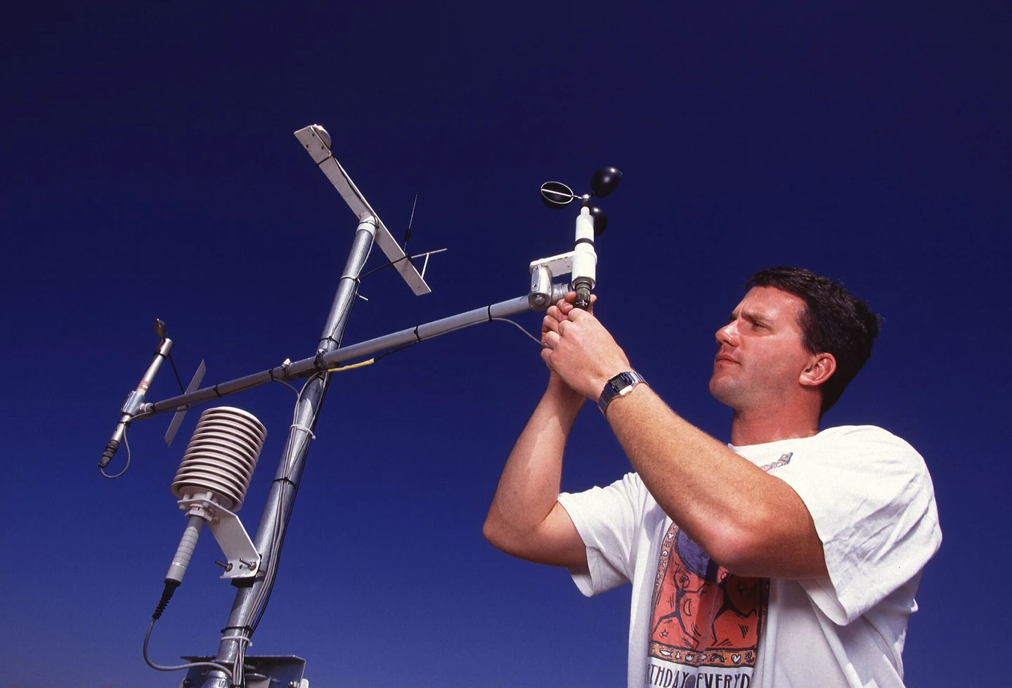
Retain the boundary geometry in the decision
Line direction also depends on shape, terrain, obstacles, and observation needs. An elongated area may suggest long parallel lines, but review that choice against the environment and aircraft. Changing direction based on one factor can alter turns and entry sections. Compare plausible layouts using the same area. Save the reasoning for later review. During repeat surveys, these records reveal whether a changed direction reflects wind, a different boundary, or a revised requirement for the resulting dataset.
Check triggering and image spacing together
Triggering arrangements differ between configurations. Understand how the installed system links image events with aircraft movement. Review event records and sample images instead of relying only on the planner setting. Changing observation distance or missing frames can alter coverage. An initial data review helps identify issues before a larger area is acquired. Include the processor, because a file count alone does not show whether the sequence supports reconstruction. The task is to verify useful relationships between observations, not simply confirm recording occurred.
Review terrain and nearby obstacles
Conditions around structures, slopes, and tall vegetation may differ from regional forecasts. Field observations provide context for the operating site and acquisition area. Do not treat an initial terrain model as a complete or current obstacle description. The operator reviews the flight profile under the aircraft procedure. Planners identify sections needing more assessment and explain their data requirements. This division keeps the desired observation quality connected with what the actual environment and accepted configuration can support.
Include the return journey
Acquisition receives attention because it produces data, but travel to and from the area is equally part of the mission. A condition favourable in one direction can have different implications in the other. Review this with the energy budget and operating site. Where several blocks are planned, assess their sequence and any approved relocations. Do not extend the area or move the site without reviewing the whole profile. Documented changes help operator, observer, and processor work from the same assumptions.
Record changes throughout the day
Conditions can vary between the first and final mission. Link observations and decisions to time and mission identity, including relevant camera settings. These records help investigate data differences. Avoid attributing every problem to a generally windy day. Sharpness, coverage, and orientation can have multiple causes. Good notes permit an ordered comparison of evidence and help identify whether the next check concerns a sensor, a plan, or missing data. They also preserve context for people who were not present in the field.
Review results before repeating the pattern
Inspect samples from different line directions and areas identified as challenging. Check sharpness, coverage, and recording consistency against agreed criteria. A difference is not automatically a failure; its significance depends on the project. Conversely, do not assume a pattern is acceptable merely because it uploaded successfully. Save revisions and their reasons. This creates a clear connection between the initial evidence and the plan used for subsequent work, reducing the risk of repeating an unreviewed acquisition pattern over the remaining area.
Connect flight choices with useful data
Two layouts for the same block may differ in turn count and duration. Assess those differences across all phases and against image quality. Fewer turns are not decisive when operating or observation requirements are unmet. More data is not valuable if it does not serve the deliverable. Record a multi-factor decision and confirm it through results. Wind then becomes a genuine system input rather than a vague explanation added after a problem. The final record should preserve both planning assumptions and what the survey actually demonstrated.
Illustrative case: comparing acquisition layouts after a wind review
Suppose a hypothetical planning session compares different line directions for an irregular survey boundary. The shortest-looking layout is not selected immediately. The operator reviews relevant wind information with the approved aircraft procedure, while the planner checks turns, travel, and entry geometry. The processor examines how the actual trigger arrangement relates to image spacing and expected coverage. The group does not use a single groundspeed value as proof of the aircraft's aerodynamic state. Instead, the chosen layout records the factors considered and the assumptions that will be checked through representative acquisition. During data review, images from different parts of the sequence are inspected for usefulness against the project criteria. Observer notes provide timing and environmental context without being treated as a complete diagnosis. If the team revises the pattern, the new plan receives an identifiable version and a clear reason. This hypothetical example makes wind a documented input rather than a general explanation added after poor results. It also prevents a plan with fewer turns from being called superior when the complete mission and required observations have not been evaluated. The evidence remains available for comparison during a later visit under different conditions.
Keeping the original line orientation may be justified by the full review, while changing it may address a demonstrated acquisition or travel constraint. The decision cannot be reduced to which option looks shorter on screen. The handoff retains the compared layouts, applicable observations, and representative images supporting the choice. The processor also notes whether changed viewing conditions affect comparison with earlier surveys. These records support an acceptance discussion about useful, consistent data rather than a claim that a particular orientation is always optimal. Future planners can revisit the tradeoff instead of treating a previous layout as an unexplained template.