Planning Drone Corridor Mapping with VTOL Aircraft
Plan corridor surveys through acquisition width, segmentation, terrain review, field access, overlap, independent checks, and the continuity of delivered geospatial data.
Understand the elongated survey area
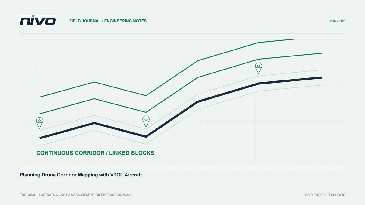
A corridor is long relative to its width, as with utilities, rivers, or proposed roads. Its challenge is not simply area: direction changes, terrain, access, and surroundings can vary throughout the route. One operating location may not serve every segment. Start with the required output and surfaces that must be observed. Overhead mapping and detailed side inspection need different viewpoints. This distinction affects the sensor and pattern, and may require separating general mapping from a dedicated inspection task rather than assuming one flight covers everything.
Set observation width from the purpose
The user may need the route and adjacent context for access or relationships with other features. Too narrow a boundary can omit useful information, while excess width increases work without clear value. Agree the boundary and record approved changes. Check bends and special locations. Local extensions can be more appropriate than widening the entire corridor. The decision should have a documented purpose, so later users understand why some sections include more context and do not mistake a deliberate difference for incomplete coverage.
Divide the route into manageable segments
Use environmental changes, assessed operating locations, or identifiable features to define segments. Equal lengths alone may not reflect practical conditions. Give each segment a clear file identity and relationship to its neighbours. Plan shared areas for continuity checks. When acquisition occurs on different days, record lighting and sensor configuration. These records help distinguish site change from acquisition differences. They also support progress reporting: the team can state which sections have usable data, which have been checked, and which still need further work.
Review terrain and height references
A corridor may cross flat ground, slopes, and valleys. Sensor-to-surface distance and observation resolution may therefore vary. Understand the mission height reference and the quality of the initial terrain model. It may omit obstacles or recent changes. The operator reviews the flight profile within aircraft capabilities and limits, while the processor needs to understand planned variations. Coordination prevents a quality requirement being promised independently of the acquisition conditions. Record assumptions rather than treating a preliminary elevation dataset as a complete description of the site.
Inspect bends and segment boundaries
A sharp bend in the project boundary is not automatically an appropriate flight turn. Review the aircraft and pattern behaviour. Check entry, exit, and direction changes for image continuity, as well as joins between segments. A small missing area can disrupt an otherwise continuous product. Use planned coverage for initial review, then check real data after the first mission. An overlap value in a planning form needs confirmation from the resulting observations. Counts alone do not show whether adjacent images support the intended processing method.
Plan operating locations and relocations
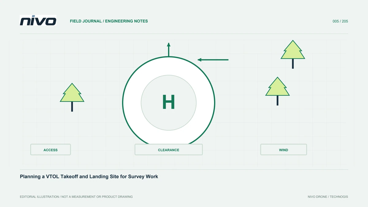
Roads visible on a map may be inaccessible or require permission from the site manager. Sequence work around travel, setup, and assessed alternatives. Do not depend entirely on a location available only under uncertain conditions. At each relocation, verify the mission version and data identities again. A table linking segment, operating site, date, and responsibility is often sufficient. It becomes especially useful when several staff contribute files. The aim is to preserve a reliable connection between field activity and the dataset later assembled by the processor.
Design control and independent checks
An elongated area needs a measurement design suited to its shape, not control concentrated at the easiest access point. Work with qualified survey personnel to define suitable control and independent checkpoints. Verify coordinate references, antenna-height records where relevant, and point identities. Document inaccessible sections and their consequences. Aircraft RTK or PPK status is not a replacement for assessing the product. The acceptance evidence should connect observations and processing with checks that address the project requirement, including the limitations of sections that cannot be evaluated equally.
Check each segment before combining
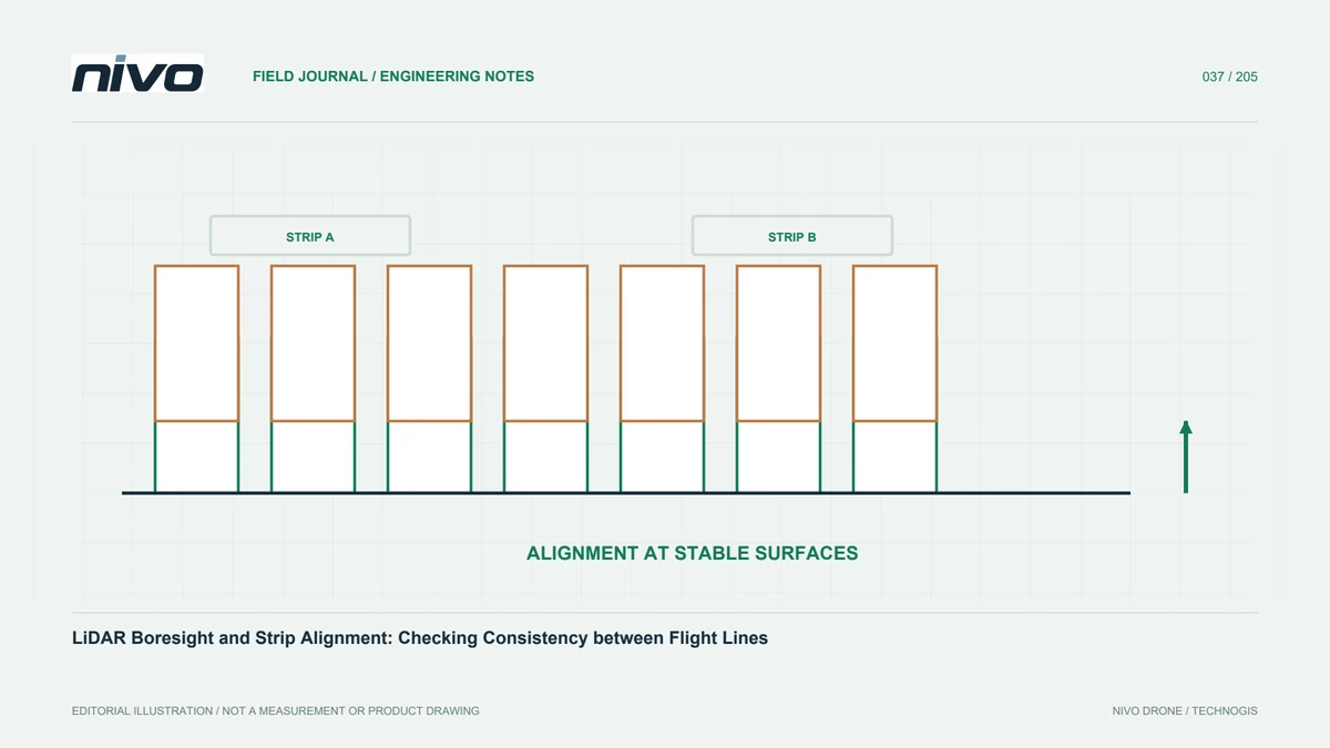
Inspect image sharpness, file completeness, time information, and coverage while repeat acquisition remains possible. Do not wait until the entire route is finished to discover missing files. When merging segments, inspect joins and surface differences. Colour differences may reflect lighting, while geometry requires a different investigation. Keep the review with the segment identity. This prevents the processor from guessing file origins or reconstructing explanations from scattered messages after the team has left. It also makes requests for additional acquisition specific and easier to plan.
Use a realistic corridor example
A route crossing open ground and built-up areas may need separate planning segments. General mapping can serve one section while another needs detailed review of assets and operating constraints. Side observations may require a separate inspection task rather than being forced from nadir imagery. Keep all sections linked by consistent identity, references, and join checks. Success is not simply completing a long route. It is delivering continuous, useful data with clearly explained limits for each part and a record that supports future maintenance or repeat surveying.
Illustrative case: joining corridor segments acquired separately
Suppose a hypothetical corridor survey crosses open land and a more constrained developed section. The project manager proposes splitting the work around practical operating access rather than drawing equal-length pieces. Each segment receives a distinct identity, an assessed location, and a planned relationship with its neighbours. The processor defines what must be visible at joins and how the coordinate reference will remain consistent. Field staff check files and representative coverage after each segment instead of waiting for the complete route to finish. Where lighting or configuration differs between visits, those differences are recorded rather than interpreted immediately as changes to the site. A section needing views of an asset's side is identified as an inspection requirement instead of being silently included in an overhead mapping promise. During acceptance, the reviewer examines source files and join areas as well as the final continuous display. This hypothetical workflow leaves an evidence trail showing which segment produced each observation and which sections need further work. Its success is not the completion of a long flight path. It is a connected dataset whose boundaries, limitations, and processing relationships remain understandable when the original field team is no longer present.
Combining all segments immediately may produce a continuous-looking display, but reviewing them individually first can expose local omissions while return access remains practical. The team selects the latter sequence for the hypothetical quality plan and records which findings must be cleared before assembly. The final handoff includes a segment index, reference definitions, join-review notes, and any sections with different observation methods. These records let the user distinguish a deliberate boundary from an unrecognised gap. They also support future replacement of one segment without silently changing the interpretation of its neighbours or discarding the original acquisition history.