Planning Lighting for Consistent Aerial Survey Imagery
Plan aerial-survey lighting around shadows, moving clouds, reflective surfaces, exposure requirements, multispectral calibration, and the intended interpretation of the data.
Choose lighting for the information required
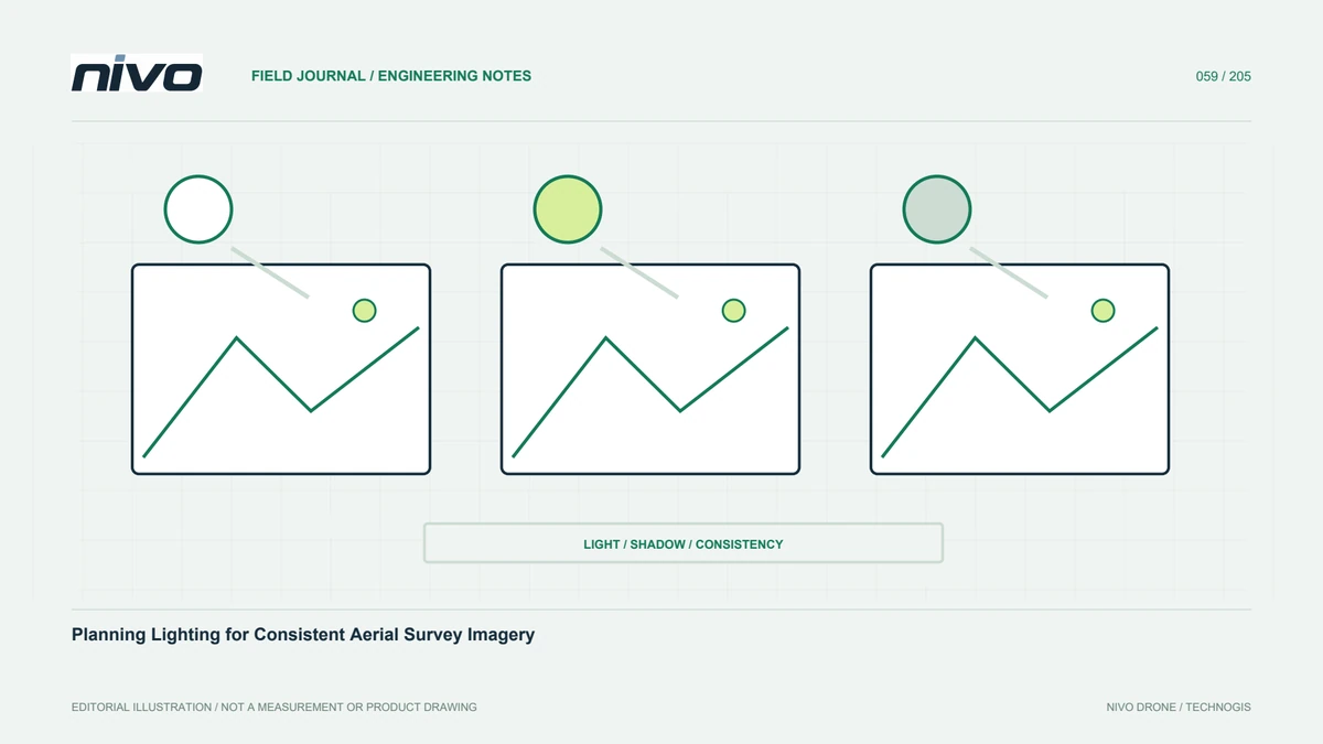
No capture time is automatically best for every survey. Textured-surface mapping, building documentation, and crop analysis can need different illumination. Describe what must be visible and which disturbances matter before scheduling. Shadows may reveal shape in visual documentation while concealing a measurement target. Changing light between routes can hinder comparison. Scheduling belongs within data design rather than simply following operator availability. Review the recipient's needs and site characteristics, then identify realistic acceptable conditions within equipment and operational limits.
Anticipate shadows and obstructions
Buildings, trees, cliffs, and other structures can hide important areas at particular times. Use site knowledge and sun-position information to anticipate difficult locations. Consider targets beside walls, beneath canopy, or on slopes facing away from illumination. A narrow access route between buildings may remain unreadable while nearby open ground looks excellent. Do not judge lighting from a panorama alone. Test the most challenging parts and check whether the required information survives. Where it does not, evaluate alternative viewpoints or timing through an appropriate acquisition plan.
Manage clouds moving across the block
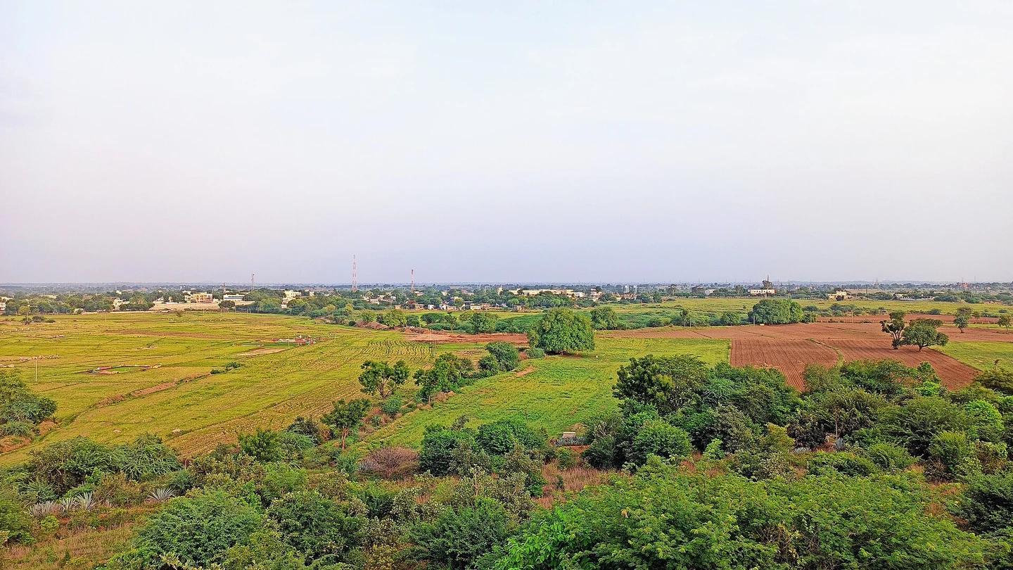
Clouds can create moving differences in brightness, contrast, and color without any surface change. Log when conditions shift and which routes are affected. Controlled exposure adjustments may suit some assignments, while others need stricter consistency. Agree the accepted boundary before large-scale capture. Do not equate color balancing in an orthomosaic with restoring clipped highlights or missing shadow detail. Processing can improve seam appearance without making all photographs radiometrically equivalent or equally useful for every analytical purpose.
Recognize reflective surfaces
Water, glass, shiny roofing, and solar modules can reflect light differently as the viewing direction changes. Glare may remove detail or make the same object look inconsistent between images. Identify these materials during planning and consider whether the objective requires special treatment. An alternative direction may aid interpretation but must be assessed alongside geometry, coverage, and operating limits. A white area in a photograph is not proof of a white material. Review source values and other viewpoints, documenting portions that cannot be observed reliably.
Connect illumination with exposure and sharpness
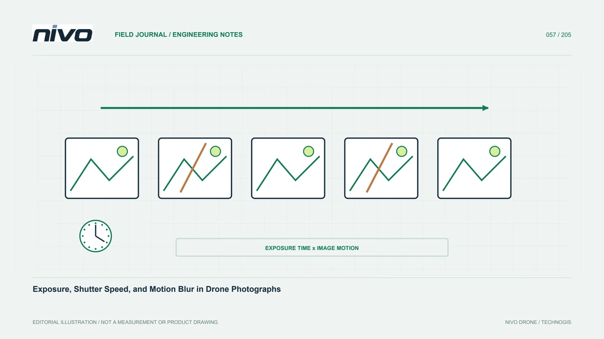
Limited light can require changes to exposure duration, aperture, or ISO, each affecting detail, focus tolerance, or noise. Check whether the camera profile remains adequate under expected conditions. Capture trial images across bright and shaded areas and inspect original pixels rather than relying solely on an exposure indicator. Record any configuration change and its reason. Aircraft flyability alone is not a reason to proceed when the images will fail their purpose. Acquisition decisions should consider useful data as well as vehicle readiness and schedule pressure.
Give multispectral work additional attention
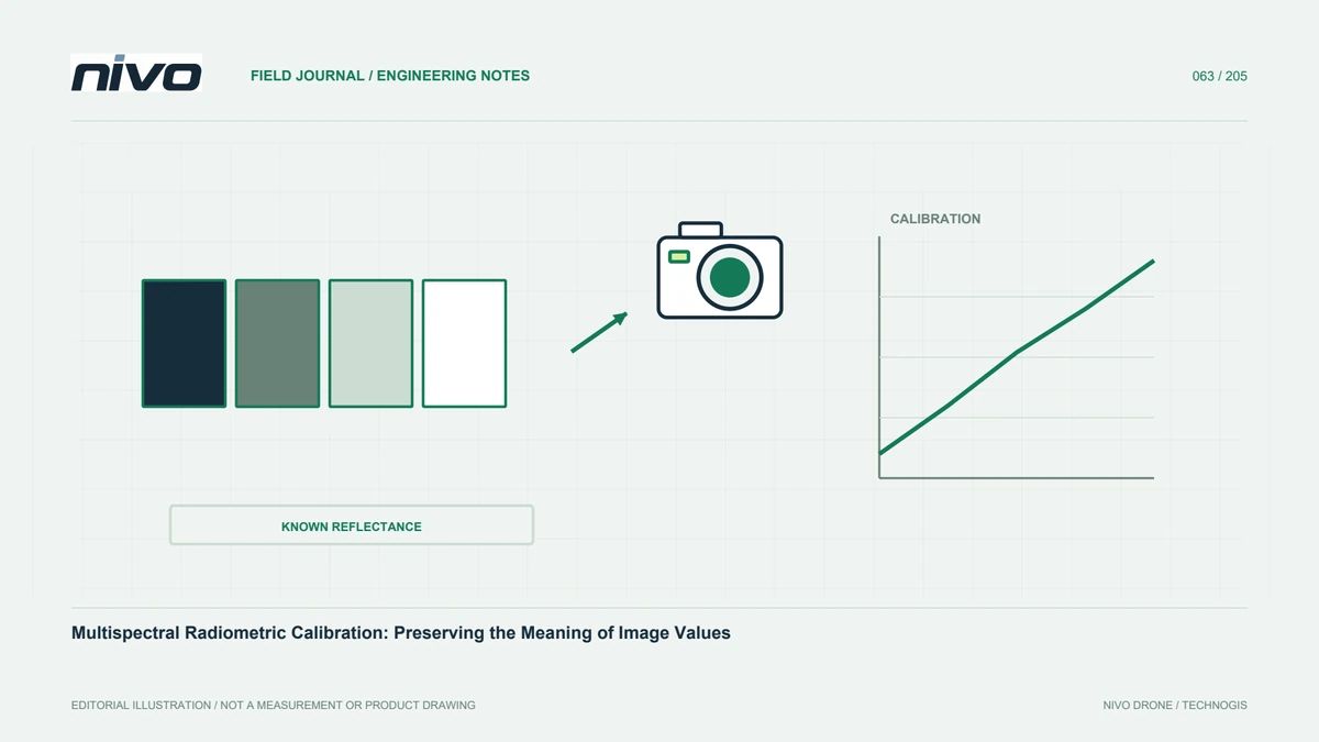
For multispectral observations, illumination affects interpretation of vegetation and surface response. Follow the sensor's calibration workflow, including panels and light-sensor requirements where applicable. Cosmetic color correction does not make values comparable between dates. Record sky conditions, timing, orientation, and changes within each block. Apply the required procedures to every flight when a field is divided. Review metadata and supporting files before leaving. Discuss substantial light changes with the processor or agronomic analyst before treating an index difference as a biological change.
Include review time in the schedule
Allow time for camera preparation, trial captures, image review, and possible repetition. Do not spend the entire useful illumination window merely maximizing flight count. Establish decision points before main acquisition and after significant changes. Specify who checks images and how findings reach the operator. A short record of location, time, and defect is more actionable than a comment that images look poor. Clear responsibilities turn lighting plans into an operating procedure rather than an intention disconnected from field decisions.
Check comparability in repeated surveys
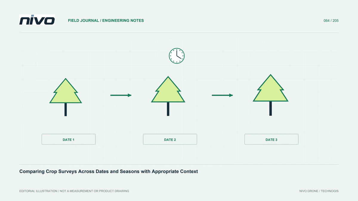
Lighting changes can resemble changes in objects or land cover. Keep timing, weather, viewing direction, and camera settings available for interpretation. Matching clock time does not guarantee equivalent conditions because season and sky can differ. Use field examples and relatively stable comparison areas. Maintain calibration discipline for multispectral data and explain limitations of RGB color comparisons. A defensible change assessment should show why an apparent change is believed to belong to the surface rather than merely displaying a visually convincing difference map.
Retain notes that help the processor
Store illumination notes with flight and dataset identities. Keep them simple but sufficient to explain relevant conditions: moving clouds, glare, setting changes, and repeat-or-accept decisions. Include representative images needing attention. These notes guide processing checks and appropriate explanations to recipients. At project review, relate quality problems to acquisition circumstances and use that evidence to improve the next schedule. The aim is a growing record of what works at the site, connecting capture timing with actual information requirements and observed results.
Illustrative case: preserving a usable lighting window
Consider a hypothetical survey covering open ground beside tall industrial buildings. The schedule initially assigns the entire favorable lighting period to flying, leaving image review until the team returns to the office. During a planning walk-through, the recipient identifies a narrow service corridor that is important to the map but frequently falls into shadow. The survey lead therefore reserves a short trial and review period before the main block. The team checks that the corridor features are readable in original images rather than relying on the brightness of nearby open ground.
During acquisition, moving clouds affect several routes. The operator records their timing and the reviewer marks the affected coverage, distinguishing cosmetic brightness variation from missing detail. The team does not assume that later color balancing will restore clipped highlights or unreadable shadows. A decision is made using the agreed acceptance examples and actual site conditions, with any repeat limited to the necessary area. The handover includes lighting notes, setting changes, accepted examples, and locations requiring interpretation caution. This hypothetical case shows why a useful schedule includes time to decide whether observations meet their purpose, rather than simply maximizing flight count within a window that looks suitable on a calendar.
The final comparison distinguishes repeating a shaded corridor from collecting an alternative view that changes the geometry and potentially the intended output. The recipient is shown examples of both approaches and their limitations. Handover requires an explicit coverage note identifying which areas meet the original map requirement and which provide contextual documentation only. That distinction prevents an attractive supplementary photograph from silently replacing missing mapping evidence. The accepted schedule also records a review point after major light changes, allowing the next team to make the same decision without reconstructing the entire discussion.