Planning Precision Agriculture with Drone Data and Field Verification
Build precision-agriculture decisions around clear questions, parcel maps, suitable sensors, timely monitoring, field verification, practical actions, and measured benefits.
Define the decision that needs better information
Start precision agriculture with a management decision, not a wish to use every available sensor. Questions may concern scouting locations, water patterns, treatment evaluation, or fieldwork planning. Specify the decision, user, timing, and evidence before selecting equipment. This gives drone data a defined role. Do not promise yield improvements or savings without measurement in local conditions. Demonstrate value through relevant process and outcome changes, allowing the manager to review and improve the program after several cycles of observation and action.
Build a usable parcel and access map
Give boundaries, parcel numbers, access routes, drainage, obstructions, and sensitive areas consistent identities. A basemap connects imagery, crop records, planned work, and completed actions. Preserve boundary changes so comparisons do not unknowingly use different areas. Involve field staff because operational circumstances are not always visible from imagery. An apparently open route may have restricted access or change seasonally. A usable map therefore combines spatial quality with the local context needed to place decisions and work on the correct parcel.
Choose sensors for a defined observation
RGB supports visible form, cover, and conditions. Multispectral data can add information about spectral variation, while elevation or LiDAR can support questions about surface shape. Not every project requires all of them. Compare information needs with acquisition, processing, and interpretation costs. Confirm actual models and configurations before specification. Where imagery cannot answer a question alone, plan supporting observations. Purposeful selection avoids producing numerous layers without a clear way to turn them into a decision the manager understands and can implement.
Schedule monitoring around crop dynamics
Observe according to growth stage and action opportunities rather than only a convenient fixed flight interval. Record crop age, variety, treatments, irrigation, and relevant events. In repeated work, maintain appropriate acquisition and calibration consistency. Confirm that analysis can be completed before the useful decision window closes. Very detailed but late maps may be less valuable than timely, suitable information. Agree who collects, processes, and reviews the evidence and when it becomes available for field action. Timing belongs to the information workflow, not only the flight schedule.
Use mapped zones to guide verification
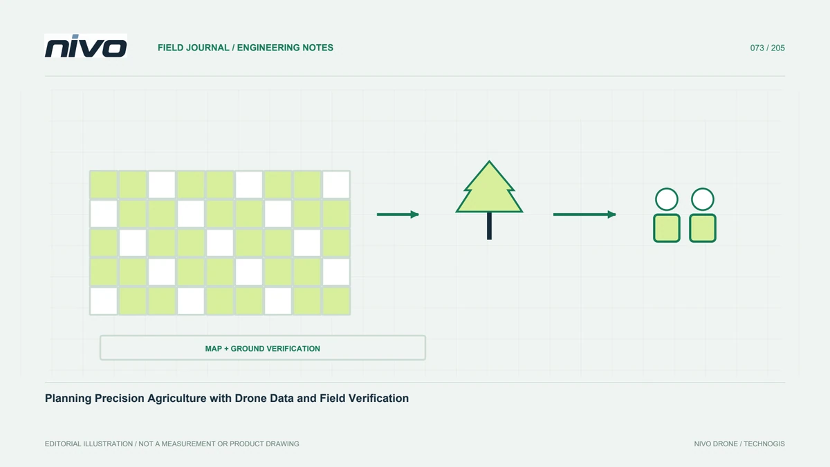
Patterns can organize field inspection, but color classes are not diagnoses. Visit several conditions, including relatively stable comparison areas, and connect observations to parcel identities and dates. Separate direct findings from suspected causes. Agronomic expertise should define further investigation where a particular crop problem is suspected. Do not prescribe treatment from one index value. Ground checks can reveal relationships with age, soil cover, water, or other factors. Drone observations provide spatial breadth while direct examination supplies the context needed to judge what the pattern actually means.
Translate analysis into an executable work plan
Connect each zone or parcel to a task, reason, responsible person, and timing. Applications or agricultural-drone work must use appropriate technical decisions and procedures for the actual equipment and products. Do not turn observation maps into application instructions without agronomic assessment. Review boundaries, obstructions, and logistics with the operating team. A useful recommendation states its evidence and unresolved questions, showing whether work is ready or needs additional checking. The output must function in field operations, not merely look convincing as a colored map on a screen.
Match application equipment to field operations
When considering NiVO Agrios, evaluate parcel geometry, access, refill support, energy, transport, and team capacity. Tank size alone does not establish productivity. Travel and logistics can dominate working time. Model local operations using confirmed configuration specifications rather than borrowing figures from another variant. Mapping and application teams should share parcel identities so an analytical decision reaches the correct area. This connection protects the value of the information workflow when it becomes physical fieldwork rather than leaving the map disconnected from execution.
Measure benefits using agreed indicators
Select indicators before implementation. They might concern time to identify areas for review, completeness of parcel records, or speed of follow-up. Where crop outcomes are evaluated, consider other changing factors and use an appropriate comparison design. Two maps or one season do not by themselves prove causation. Retain acquisition, analysis, visit, and action costs so value can be assessed realistically. Open evaluation helps managers keep useful technology and reduce activities that generate more data without improving the decision or operational result they intended to change.
Create a repeatable learning cycle
Connect questions, observation, verification, action, and evaluation through consistent parcel records. Review what was answered and what remains unresolved after each cycle. Adjust timing, sensors, or assessment methods based on evidence. Do not add technical complexity when the actual bottleneck is recording or follow-up. Begin NiVO consultation with examples and the workflow needing improvement rather than an equipment list alone. This makes drones and geospatial information part of a measurable management system adapted to crop conditions and the practical capabilities of the local operating team.
Illustrative case: turning a crop map into a verified field question
Consider a hypothetical farm introducing drone monitoring alongside an existing field team. The first proposed deliverable is a colorful map delivered at the end of each month, but nobody has defined which decision it should change. During planning, the manager explains that the actual difficulty is choosing where to send scouts before an important management discussion. The team reframes the assignment around timely, parcel-linked observation and verification rather than promising a general improvement in yield. It records the decision deadline, relevant crop stages, available field observations, and the person responsible for interpreting the findings.
A small trial produces a map of contrasting zones, then sends observers to several conditions, including an apparently ordinary comparison area. Their notes use the same parcel identities as the imagery and distinguish direct observations from suspected causes. An agronomic reviewer decides which questions need additional measurements before any treatment recommendation. The team checks how long copying, processing, review, and field visits take as one workflow. If the map arrives after the useful decision window, simply adding another sensor does not solve the problem. The schedule and handover responsibilities must be revised so that information can reach the manager while it can still guide the planned discussion.
The decision compares maintaining a routine map archive with operating a decision-support cycle. Both can be useful, but only the latter requires demonstrated connections between observations, verification, and follow-up. Acceptance asks whether another staff member can locate the selected zones, understand their selection, see unresolved uncertainty, and identify the next task. The record also captures what happened after the decision, without attributing all later crop changes to the drone program. This hypothetical case keeps precision agriculture grounded in an explicit question and a measurable management workflow.