Relocating a GNSS Base Station Between Survey Blocks
Keep station identity, coordinates, antenna geometry, observation periods, and processing treatment explicit when a reference setup moves between survey areas.
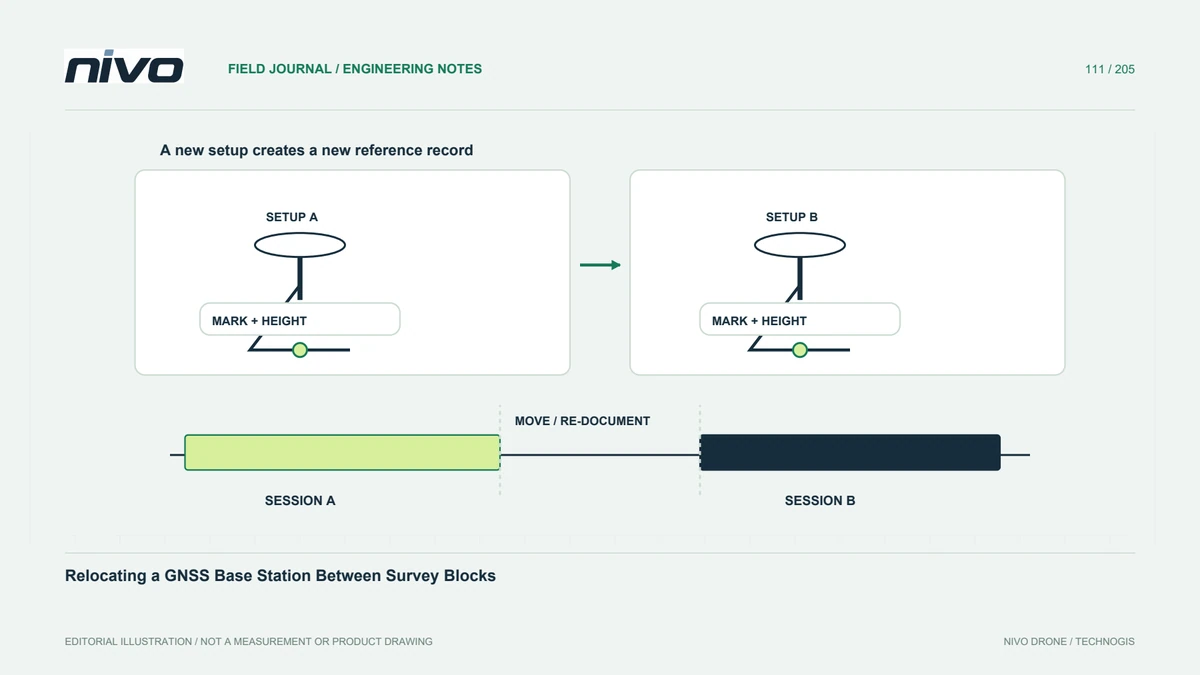
Treat relocation as a new setup
Moving the reference antenna changes a physical part of the GNSS workflow even when the receiver remains the same. Give each setup a clear identity and record its time boundaries. Do not reuse the previous station description merely to simplify folder names. The field record should explain where the antenna was, what reference was used, and which flights depended on it before any resulting products are combined.
Establish coordinates through the intended method
A coordinate displayed after setup may have a different basis from the project requires. Identify how the new position is determined, its reference frame, and the evidence supporting it. Do not copy the earlier coordinates into a moved installation. If a service or processing method supplies coordinates, preserve that source and its limitations. A stable-looking position does not independently demonstrate consistency with the project control system.
Record antenna geometry again
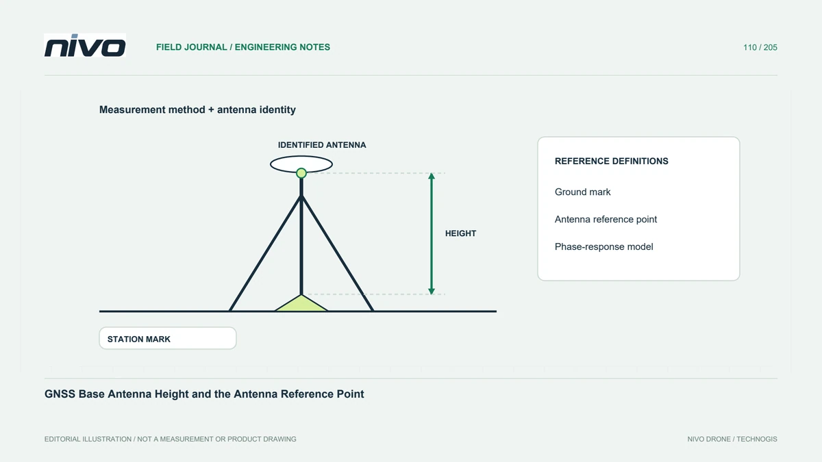
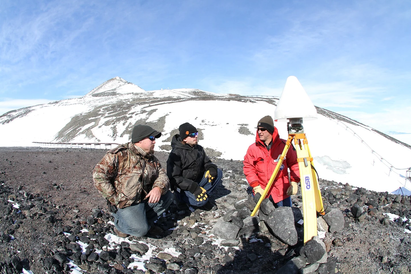
Document the station mark, mount, antenna identity, reference point, and measured height for the new arrangement. A familiar tripod does not guarantee unchanged geometry. Preserve orientation information where required and photographs that show the measurement definition. If an antenna or adapter is replaced during relocation, identify that change separately. This prevents a later vertical discrepancy from becoming an ambiguous argument about whether the base moved or its height was entered differently.
Separate observation periods and dependent flights
Create a timeline linking each base setup with rover observations, camera events where relevant, correction streams, and mission blocks. Identify gaps during movement. Do not merge files solely because they belong to the same calendar day. The processor needs enough information to apply the correct reference treatment to each interval. If an overlap or supporting record is missing, state the limitation before assuming that later processing will reconstruct the relationship automatically.
Check consistency at the block connection
Evaluate suitable common features or independent references using the project's accepted assessment method. A visually smooth mosaic join does not prove the base-reference transition is correct. Separate geometric processing effects from coordinate or antenna-height issues. Preserve source-specific results and explain any correction. A project-wide summary can conceal a step between blocks, so inspect the locations where data from different setups meet and where the intended use makes discrepancies important.
Hand over the relocation history
Provide setup identities, locations, coordinate sources, antenna measurements, time periods, affected flights, and consistency checks. Another analyst should determine which reference belongs to every block without asking the field operator to remember the journey. This supports NiVO projects covering separated areas while keeping operational convenience distinct from geodetic continuity. The accepted result depends on a traceable reference chain, not simply on using the same receiver throughout the day.