Turning Farm Boundaries into an Agrios Operating Map
Separate parcel ownership, cropped area, work scope, exclusions, support access, and verified operating information before using a farm map for agricultural drone planning.
Separate different boundary meanings
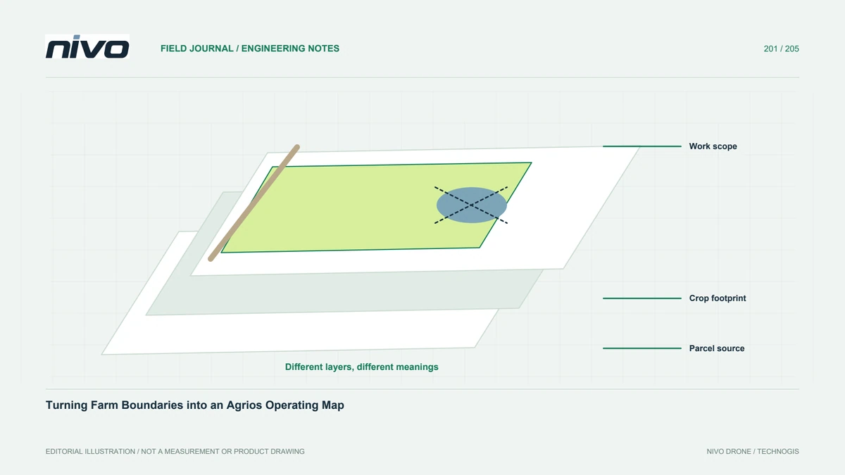
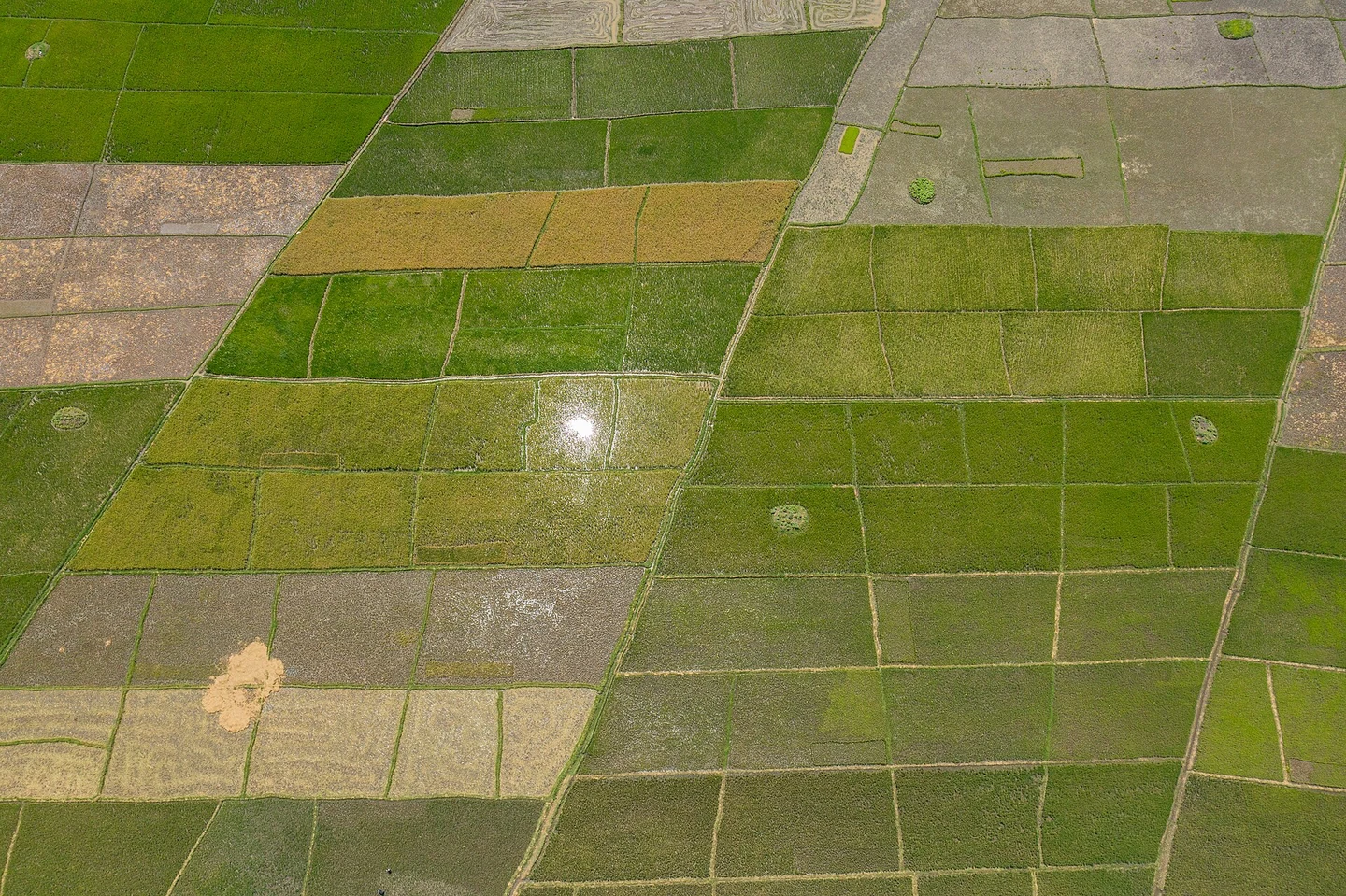
A farm ownership polygon is not automatically the cropped footprint or the area approved for a particular task. Identify each layer's purpose and source. Keep administrative boundaries, crop areas, planned work, and exclusions distinguishable. The operator and farm manager need the same interpretation before planning begins. A visually simple map can hide consequential differences if all boundaries are drawn as one outline and the crew assumes every enclosed surface is suitable for the same operation.
Verify the current field context
Review the map with people familiar with the site and available recent imagery. Record roads, drains, structures, vegetation, access points, and other relevant features through the responsible assessment. A feature absent from an older basemap may still affect today's work. Note the date and confidence of observations. Do not claim that drawing an obstacle on a map establishes an appropriate operating distance; those decisions require the actual equipment, task, and applicable site process.
Create a task-specific work layer
Connect each planned work area to parcel identity, confirmed technical requirements, and responsible review. Keep non-work areas explicit and preserve any boundary edits with reasons. If another team supplies the layer, confirm coordinate references and how it will be interpreted. The same polygon should not silently change meaning between agronomy, planning, and reporting. A useful map states what the crew is expected to do and what questions remain unresolved before the task can proceed.
Distinguish planning graphics from control settings
A colored exclusion on a printed map does not automatically configure aircraft behavior. ArduPilot documents different fence types and behavior depending on vehicle and configuration. Any electronic control layer requires its own confirmed integration and appropriate testing. Do not assume every Agrios arrangement implements the same feature or that a fence replaces operational review. Keep the planning map, uploaded configuration, and verified system behavior distinguishable so the crew does not mistake an illustration for an active control.
Include support and transition information
Show reviewed support locations, ground access, parcel sequence, and communication references relevant to the operation. Keep the information readable without overcrowding the map. Assign update responsibility when a support location or work boundary changes. A revised map must reach the actual crew rather than remain only on the manager's computer. Test the briefing with one representative task and ask team members to explain its identity, scope, and unresolved constraints using the same map.
Archive planned and completed work separately
Retain the approved plan version and link later records to it without overwriting the original intention. Mark changes, omitted areas, and reasons through the agreed process. Discuss uncertain map-to-system relationships with NiVO before operational use. Acceptance should show that the team understands and can trace the task geography, not promise that a boundary file alone prevents every error. The result is an understandable operating map connected to verified procedures and honest records of what was actually completed.