Building Lean and Occlusion in Urban Orthomosaics
Distinguish displaced roofs from ground footprints, inspect urban occlusions, and check the surface model and source views before using orthomosaics for asset mapping.
Recognise what a displaced roof hides
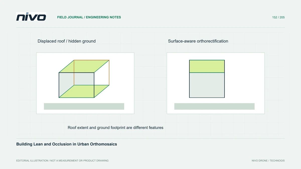
A roof can appear displaced from its ground footprint when elevated structures are not represented appropriately in orthorectification. The apparent lean can obscure roads, courtyards, or neighbouring assets. Do not interpret every visible roof edge as a legal or physical ground boundary. Compare building bases, roof overhangs, and source photographs before using the mosaic to digitise features near tall structures.
Separate terrain correction from surface correction
Orthorectifying with a terrain model addresses ground relief but does not necessarily remove displacement caused by buildings above that terrain. A true-ortho workflow uses an appropriate surface representation and visibility handling. Its quality still depends on the reconstructed geometry and available imagery. Selecting a product name or a finer pixel size cannot supply correct roof heights or observations of hidden ground automatically.

Review the supporting image coverage
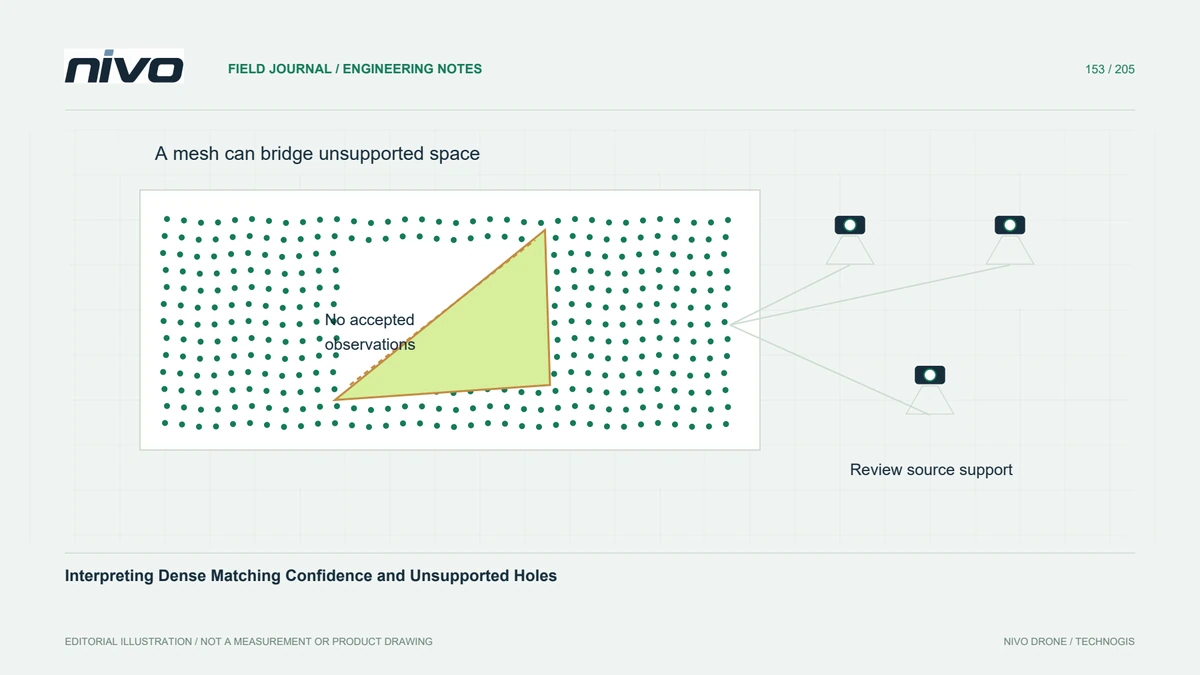
Ground concealed in one photograph may be visible from another direction, but some areas remain unobserved in every useful image. Inspect source-view coverage around narrow streets and courtyards. Additional suitable views can improve support where feasible, while deeply occluded areas may require another measurement approach. Keep the difference between recovered observation and inferred appearance clear when evaluating a visually complete urban image.
Inspect seams around tall structures
Review roof corners, walls, bridge decks, and the spaces between closely spaced buildings at native resolution. Look for duplicated edges, broken objects, smeared textures, and sudden changes across seamlines. Compare suspicious regions with the surface model and original photographs. A colour-consistent seam can still join geometrically incompatible views, while a minor tonal seam may leave feature positioning intact.
Define the feature being digitised
In a hypothetical industrial asset inventory, define whether the required polygon represents roof extent, building footprint, or another asset boundary. Compare several representative structures with ground evidence and mark ambiguous edges. If a loading canopy hides the base wall, do not silently substitute its roof outline. Attribute the interpretation and identify where supplementary observations are necessary for the requested feature class.
Deliver urban limitations explicitly
Deliver the orthomosaic type, surface-model version, acquisition coverage, known occlusions, and feature-definition guidance. Include reviewed examples around tall structures and mark regions unsuitable for the intended measurement. Acceptance should establish that relevant features can be located with supporting evidence, rather than assuming all urban detail is correct because the imagery is sharp. A true ortho can reduce building lean while still requiring explicit checks of geometry and completeness.