Interpreting Dense Matching Confidence and Unsupported Holes
Read dense-reconstruction quality fields in their software context, compare completeness with reliability, and keep unsupported gaps visible in derived surfaces.
Identify the quality field's actual meaning
Dense reconstruction software may expose consistency measures, supporting-view counts, matching costs, or other quality indicators. Their names and scales are implementation-specific. A high displayed value is not automatically a probability of correct elevation, and it may not be comparable across projects or tools. Read the relevant definition before choosing a threshold or presenting the field as a universal confidence score.
Trace the source of weak support
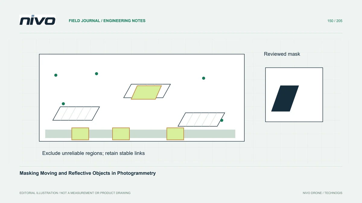
Low support can arise from uniform texture, reflections, moving surfaces, occlusion, blur, or unsuitable image geometry. Locate the affected region in the original photographs and camera network. Increasing dense-processing quality may help some situations but cannot create observations of a surface hidden in every view. Distinguish a computational limitation from an acquisition gap before choosing a more expensive processing configuration.

Compare completeness and reliability deliberately
Stricter filtering can remove outliers while creating holes; permissive filtering can increase coverage while retaining false surfaces. Compare both effects against the intended use. A textured presentation mesh and a terrain input need different acceptance evidence. Keep settings and evaluation areas fixed during a trial so a change in apparent completeness can be connected to a particular processing decision.
Inspect gaps before interpolation
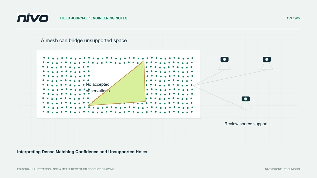
A meshing or rasterisation step may bridge areas with no accepted dense observations. Inspect the raw accepted cloud and any available support maps before interpreting the resulting continuity. Long triangles or smooth infill across a gap can look convincing without being measured. Mark these regions and decide whether to exclude them, retain a qualified interpolation, or obtain supplementary observations.
Test a small difficult surface
In a hypothetical survey of a bright concrete yard beside vegetation, compare two justified filtering configurations over the same small window. Inspect point profiles, support indicators, image texture, and independent checks on stable accessible surfaces. Record both retained outliers and lost real detail. Choose the configuration that supports the specific measurement task, rather than maximising point count or minimising visible holes in isolation.
Deliver observed and inferred regions distinctly
Deliver quality-field definitions, relevant reconstruction settings, coverage and gap masks, and the selected comparison evidence. Identify which final surfaces were interpolated or inferred beyond accepted observations. Acceptance should establish interpretable support and controlled limitations for the intended analysis. A dense-looking cloud is not synonymous with reliable geometry, while a documented hole can communicate uncertainty more honestly than an unsupported smooth surface.