Splitting and Merging Photogrammetry Blocks With Reliable Common Links
Partition large image projects around real connectivity, verify shared observations and alignment, and check merged outputs beyond a seamless-looking orthomosaic.
Partition around evidence and resources
Splitting a large image collection can make processing manageable, but a convenient image count is not the only partition criterion. Consider image-network connectivity, terrain variation, control distribution, and available memory. A boundary through a weakly observed area may create difficult submodels even if the workloads are equal. Plan a representative trial before committing the entire dataset to a partitioning scheme.
Preserve meaningful common observations
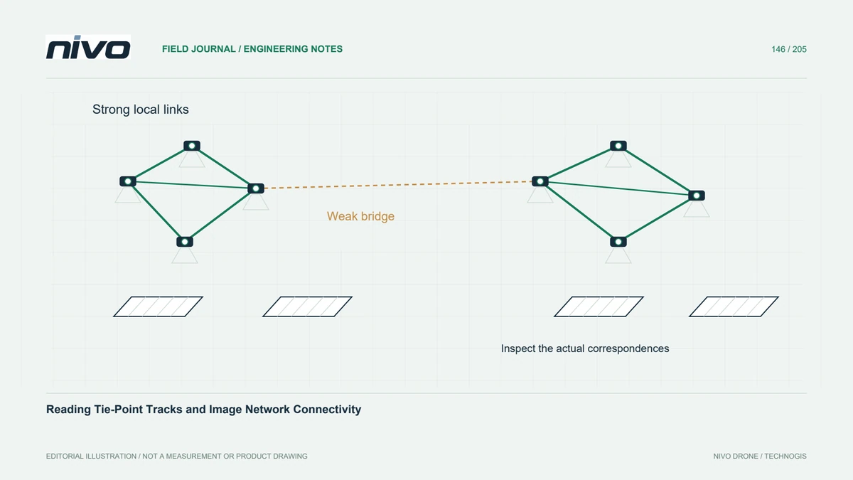
Submodels need sufficient common evidence for the selected alignment method. Shared images, stable scene features, and suitable control can play different roles depending on the software. A nominal overlap distance does not establish that useful observations exist there. Inspect the actual images and matches across boundaries, especially where water, uniform fields, or repetitive structures reduce reliable connections between neighbouring blocks.
Keep references and camera assumptions compatible
Keep coordinate references, height conventions, camera grouping, and relevant processing settings consistent unless a deliberate difference is documented. An independently successful reconstruction can still be incompatible with its neighbour. Review estimated transformations and their plausibility rather than trusting a merge command's completion message. Preserve submodel inputs and reports so the source of a later mismatch can be located.
Inspect every relevant merged product
An orthomosaic, elevation model, point cloud, and textured mesh are different products and may follow different merge paths. Confirm what the workflow actually merges and which outputs remain separate. Colour blending can hide an image seam without resolving a height discontinuity. Conversely, consistent geometry can still produce a visible exposure seam that requires a presentation decision rather than a geometric correction.
Test boundary geometry independently
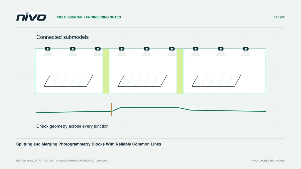
In a hypothetical long industrial corridor, inspect each block junction using independent features and terrain profiles that cross the boundary. Compare source submodels and the merged result, including narrow structures and areas with sparse connections. Record any duplicated surfaces, gaps, or local offsets. Reprocess the responsible block or alignment when needed instead of cosmetically smoothing the final seam and losing the underlying evidence.
Retain the submodel audit trail
Deliver the partition index, common-observation policy, alignment settings, merged-product list, and junction checks with the dataset. Retain a manifest connecting outputs to their submodels and acquisition files. Acceptance should establish consistent geometry and complete intended coverage across all boundaries. Splitting is a resource-management strategy whose quality depends on the observation network; it is not an automatic substitute for a coherent, independently verified reconstruction.