Masking Moving and Reflective Objects in Photogrammetry
Exclude unreliable image regions with reviewed masks, preserve enough stable feature support, and verify which reconstruction stages actually use the mask.
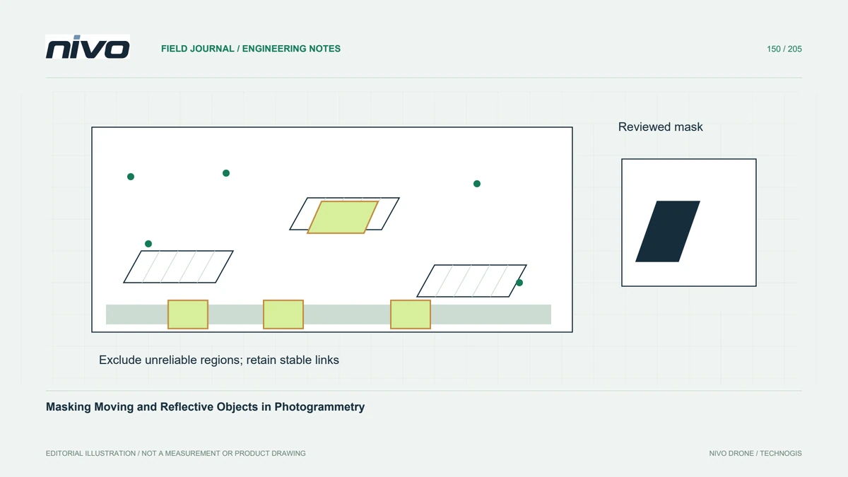
Identify a specific unreliable region
Moving vehicles, water reflections, wind-driven foliage, and bright specular surfaces can violate assumptions used by image matching. A mask can exclude selected image regions from a documented processing stage. Begin by identifying the actual failure and its location rather than covering every visually inconvenient feature. Some difficult areas may need additional observations or a different measurement method instead of a larger exclusion.
Separate masking from deleting evidence
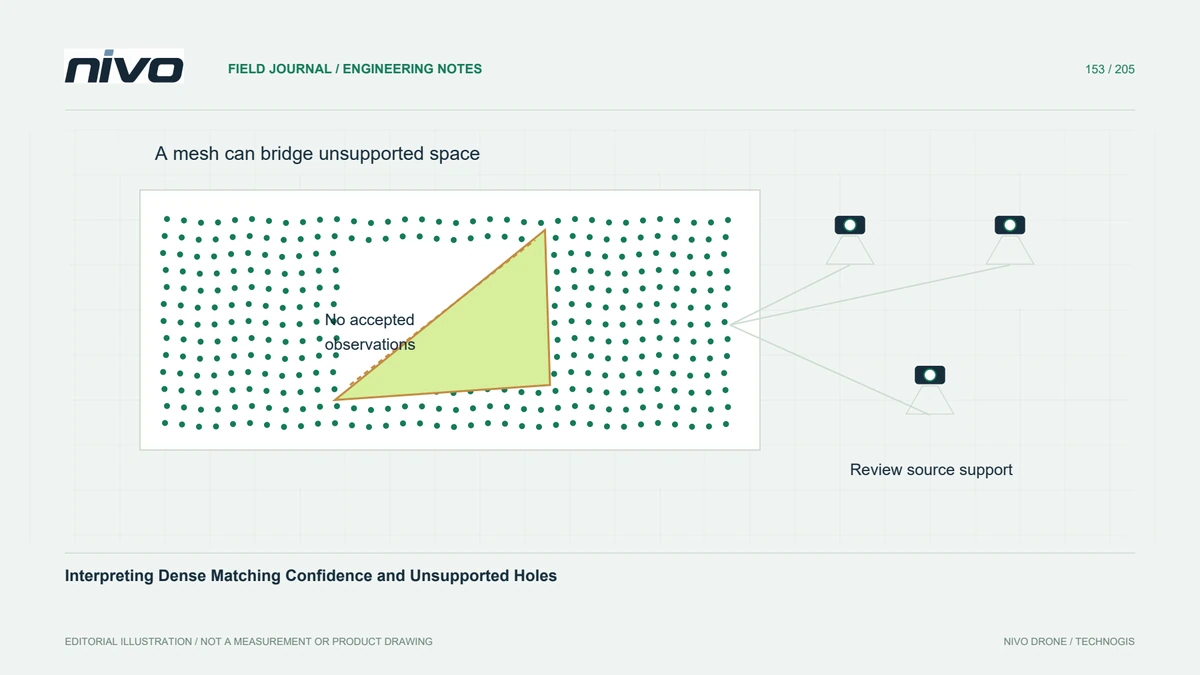
Keep original photographs unchanged and store masks separately with traceable filenames. A masked region means that selected observations were excluded; it does not establish that the hidden surface was measured successfully. Record the reason for exclusion, especially when the area contains an asset relevant to the deliverable. A cleaner reconstruction can still have reduced coverage that needs explicit communication.
Verify naming and orientation conventions
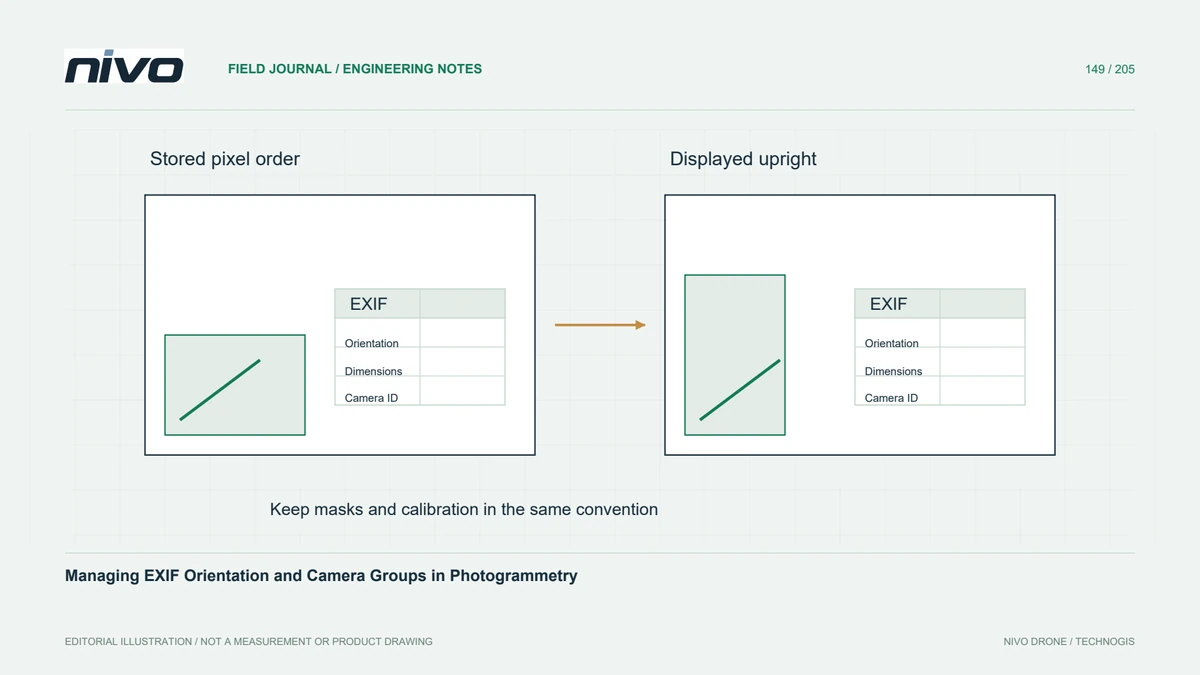
Applications differ in mask filenames, dimensions, polarity, orientation handling, and the stages that read them. Confirm the current documentation for the selected workflow and inspect an overlay inside the actual processing environment. A black-and-white image that looks correct in an editor may be inverted, rotated, or ignored after import. Test a recognisable small region before creating masks for hundreds of images.
Preserve useful image-network support
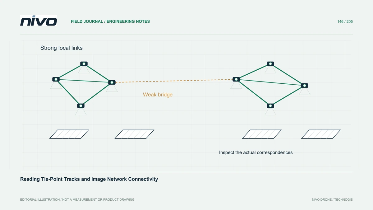
Masking can remove false correspondences but also eliminate stable tie features needed to connect image groups. Inspect the remaining network around the excluded region, particularly on repetitive roofs or uniform ground. Prefer a reasoned boundary over an unnecessarily broad mask. If a key connection disappears, investigate the observation geometry instead of assuming that more aggressive masking always produces a more trustworthy result.
Test effects on both alignment and coverage
In a hypothetical inspection of a reflective roof beside moving traffic, compare a small baseline reconstruction with a carefully masked trial. Check camera registration, track distribution, dense coverage, and the appearance of the affected surfaces. Confirm which stages changed. Do not infer that a feature mask automatically prevents later texture display or fills the resulting gap with reliable geometry.
Deliver masks as processing decisions
Deliver the masks, their source-image relationship, exclusion reasons, software conventions, and the comparison supporting their use. Mark coverage limitations in the final dataset and retain the unmasked baseline for internal traceability where useful. Acceptance should establish that the intended regions were excluded consistently while required stable observations remain. Masking is a controlled evidence-selection step, not a general repair for blur, missing overlap, or unobserved surfaces.