Using Drone 3D Models for Clearer Project Communication
Present point clouds and meshes with context, annotations, lightweight copies, version identities, and measurement limits so 3D views support informed project discussion.
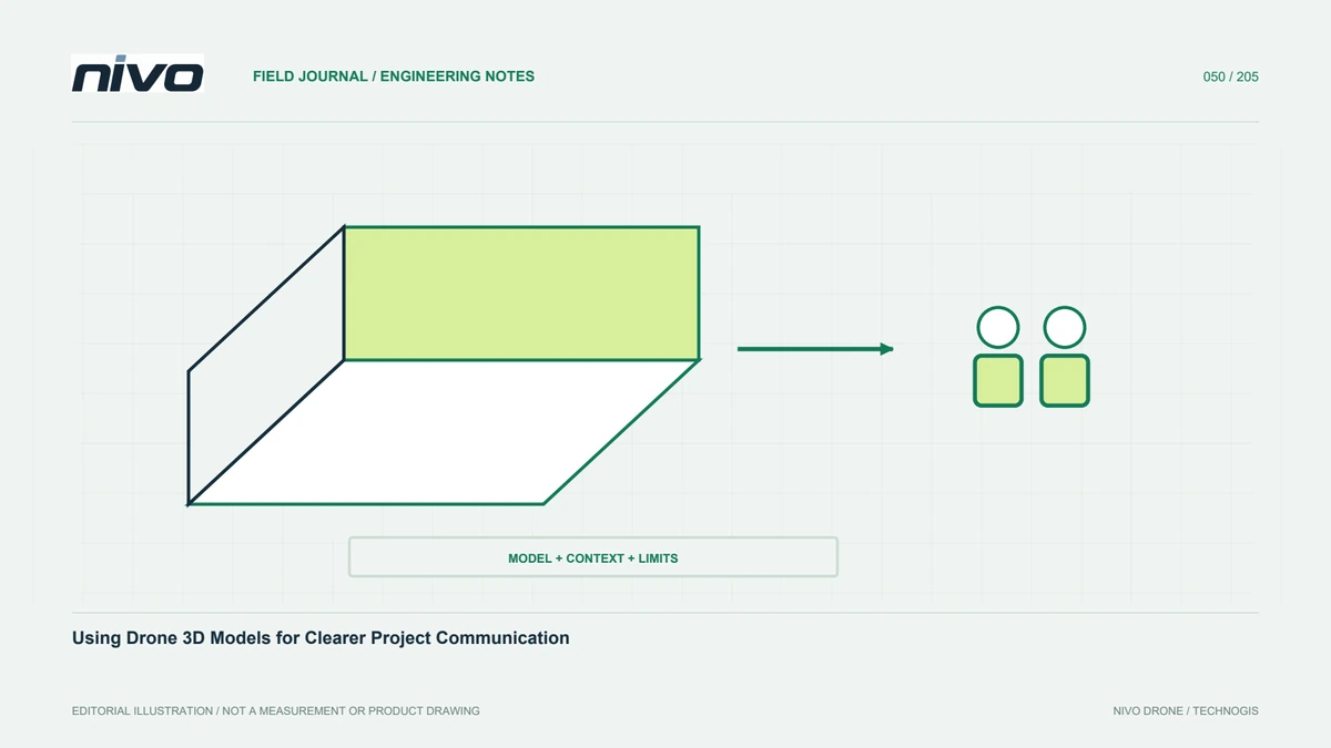
Define the message before the display
A three-dimensional model can clarify site form, object relationships, and conditions difficult to explain on a flat map. An attractive view alone does not guarantee clear communication. Identify the question: facility orientation, access, progress, or a particular object. Select viewpoints and content that answer it instead of displaying everything at once. Distinguish observed surfaces from proposals and annotations. A clear purpose guides model type, detail, presentation, and supporting information. It also helps avoid overwhelming recipients with technically impressive data that adds little to the decision under discussion or hides the location that needs attention.
Distinguish points, meshes, and texture
A point cloud stores observations as points; a mesh represents surfaces through connected elements. Texture supplies photographic appearance. They are related but not interchangeable. Sharp texture can make simplified geometry appear highly detailed, while a dense cloud may remain difficult for a general user to interpret. Explain the representation on screen. If measurement is expected, assess whether its quality supports that purpose. Visual detail must not quietly become a guarantee that every displayed feature has independently tested shape and coordinates. The representation's role should remain clear when a review copy is opened outside the original processing environment.

Capture viewpoints for important geometry
Near-vertical photography can record upper surfaces, while façades and stepped structures need suitable views of their sides. Plan acquisition around the model's purpose, site conditions, and equipment limits. More images do not reconstruct a surface never visible to the camera. Test the most difficult geometry before processing the whole site. Explain limitations around movement and reflective materials. If gaps are filled or surfaces simplified, preserve that history. Recipients need to distinguish directly supported reconstruction from parts created through assumptions or later modelling, particularly where an apparently complete surface could influence a technical interpretation.
Maintain main and review versions
A full dataset may be too heavy for meeting hardware or available connections. Create a labelled review version while preserving main data for technical use. Mesh simplification, point reduction, and texture choices affect what can be seen or measured. Test on recipient devices rather than only the processing workstation. Keep links between versions so annotations can be traced correctly. A lightweight copy should not be confused with an approved analytical product. Separating their roles improves access without sacrificing the evidence and detail required for later examination by someone who needs more than an overview.
Provide spatial and temporal context
Include location identity, capture date or interval, orientation, and useful scale context. Explain areas captured during different sessions. Active sites can change after observation, so a model should not be presented as indefinitely current. Show coverage limits and missing areas where they affect interpretation. Give added design elements a distinct style and status. Context keeps users from mixing actual observation, reconstruction, and planned work merely because all are visible in the same three-dimensional scene. It also helps someone revisiting the model later understand which conditions the original discussion concerned.
Connect annotations to evidence
Annotations can direct attention to access, assets, or locations needing review. Use identifiers shared with tables, photographs, and action records. Separate observations from suspected causes and proposed work. Where closer inspection is required, state that need instead of claiming a condition the model cannot demonstrate. Preserve author, date, and model version. Traceable annotations turn the model into a coordination tool rather than a decorative meeting background. Users can revisit the same place and consult supporting material without relying on the person who guided the first presentation to remember every question or interpretation.
Explain what measurements mean
A viewer's distance or area function does not automatically make its results suitable for every project. Quality depends on source observations, references, geometry, and the representation currently displayed. Simplification may remove relevant detail. Define which measurements are appropriate and when users should return to main data or supplementary survey. Include relevant checkpoint evidence and its limits. Sharp texture is not positional validation. A concise quality explanation lets people use the model appropriately and reduces the risk of a technical decision relying on a visual preview prepared only to communicate overall site form.
Choose suitable distribution and access
Sharing depends on size, user hardware, connectivity, and project access requirements. Online viewing can support collaboration; local packages may suit limited connectivity or controlled distribution. Test textures, references, annotations, and supporting documents after transfer. Explain differences between the viewer and an analytical application. Follow agreed sharing rules for non-public assets. Keep a stable version index so users do not unknowingly open an obsolete result. Distribution is part of usability: the model should remain meaningful in meetings, field review, and follow-up work undertaken by people with different devices and responsibilities.
A facility-progress presentation example
Select views highlighting relevant progress and link them with a two-dimensional map and location table. Show source dates and distinguish planned elements. Save review comments against model versions and supporting photographs. Provide a lightweight meeting copy and main data for technical assessment. A suitable NiVO camera configuration supports shape and texture capture, while clear communication depends on context, structure, and stated limits. The model helps teams develop a shared understanding without implying that visualisation has replaced the additional technical inspections needed for particular assets or decisions.
Illustrative scenario: a convincing review mesh invites an unsupported measurement
Imagine a hypothetical project meeting using a lightweight textured model of a facility. The roof texture appears crisp, and a participant begins measuring a narrow component in the viewer. The presenter explains that this copy was simplified for ordinary laptops and communication, not accepted for that specific dimensional task. Rather than disabling discussion or allowing an unsupported number into the action list, the team links the question to the main dataset and its assessment record. The observed scene, any added design elements, and the capture date are clearly distinguished so the meeting does not confuse planned work with measured existing conditions.
The team compares two useful actions: use the model to locate and discuss the component, or obtain a suitable checked measurement before making a technical decision about it. The review representation remains valuable for orientation and annotation even when it cannot settle the dimension. An identified note records the question, author, model version, and supporting photograph. Any missing or poorly observed surface is shown as a limitation rather than reconstructed into apparent certainty. The main data is inspected for the required evidence, and further observation is requested if that evidence remains inadequate.
The handover provides a version index separating communication copies from analytical products and explains the relevant measurement limits. A later reviewer can follow the annotation without needing the original presenter to remember the conversation. This hypothetical case demonstrates that responsible presentation preserves the model's usefulness while controlling how its visual realism is interpreted. Sharp texture, convenient measurement tools, and smooth display are not substitutes for source geometry and assessment appropriate to the task. Clear context lets the team move from a useful question to an evidence-based next step instead of treating every visible detail as equally measured.