Delivering Drone Orthomosaics as Cloud Optimized GeoTIFF
Package a large drone orthomosaic for selective reading with tiled storage, suitable overviews, controlled compression, and checks in the recipient's actual viewer.
Choose an access pattern before an export
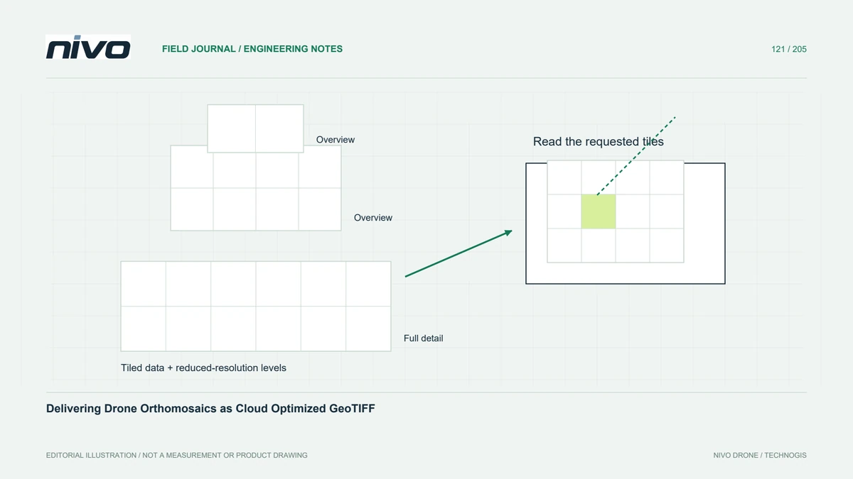
A Cloud Optimized GeoTIFF, commonly called COG, arranges raster data for efficient access to selected image regions and scales. It is useful when colleagues inspect a large orthomosaic without needing its entire resolution immediately. The format does not improve survey accuracy or replace access controls. First establish whether users need remote browsing, local analysis, or both, and which software must read the delivered file.
Keep the analytical values intact
Distinguish a visual RGB orthomosaic from a numerical elevation or multispectral raster. Compression and data types must preserve the information required by each purpose. A display-oriented conversion can discard precision or change the meaning of bands even while producing an attractive preview. Keep the accepted source, record export choices, and compare representative pixel values rather than judging success solely by smaller storage size.

Design tiles and overviews together
Internal tiles allow readers to request portions of the image, while overviews provide reduced-resolution representations for wider views. Their resampling method should match the data: continuous imagery and categorical classes require different treatment. Existing overviews may be reused or regenerated according to the conversion workflow. Check the resulting levels explicitly; an overview must not silently become the source used for a detailed analytical calculation.
Test the complete delivery route
COG structure alone cannot guarantee fast viewing. Remote selective access also depends on the server and client supporting the required reading behavior. Test the actual uploaded copy through the recipient's application, including an overview of the whole site and a close view near a tile boundary. Slow transfer, missing metadata, and inaccessible storage require different remedies, so record the observed problem before changing compression settings.
Separate browsing convenience from authority
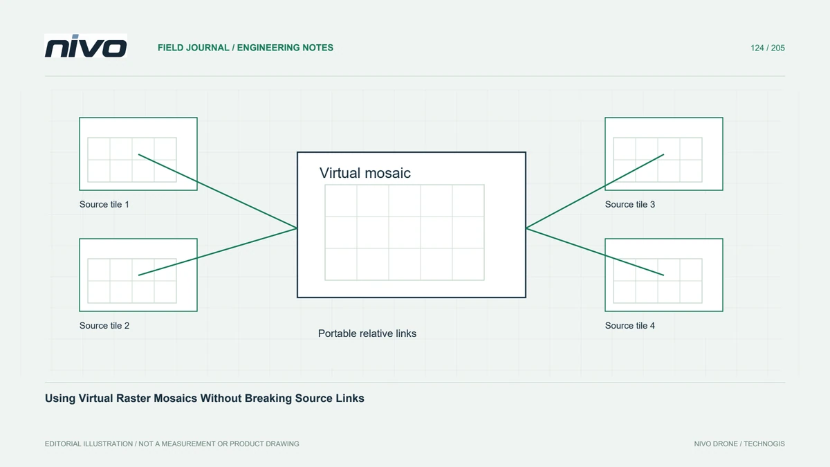
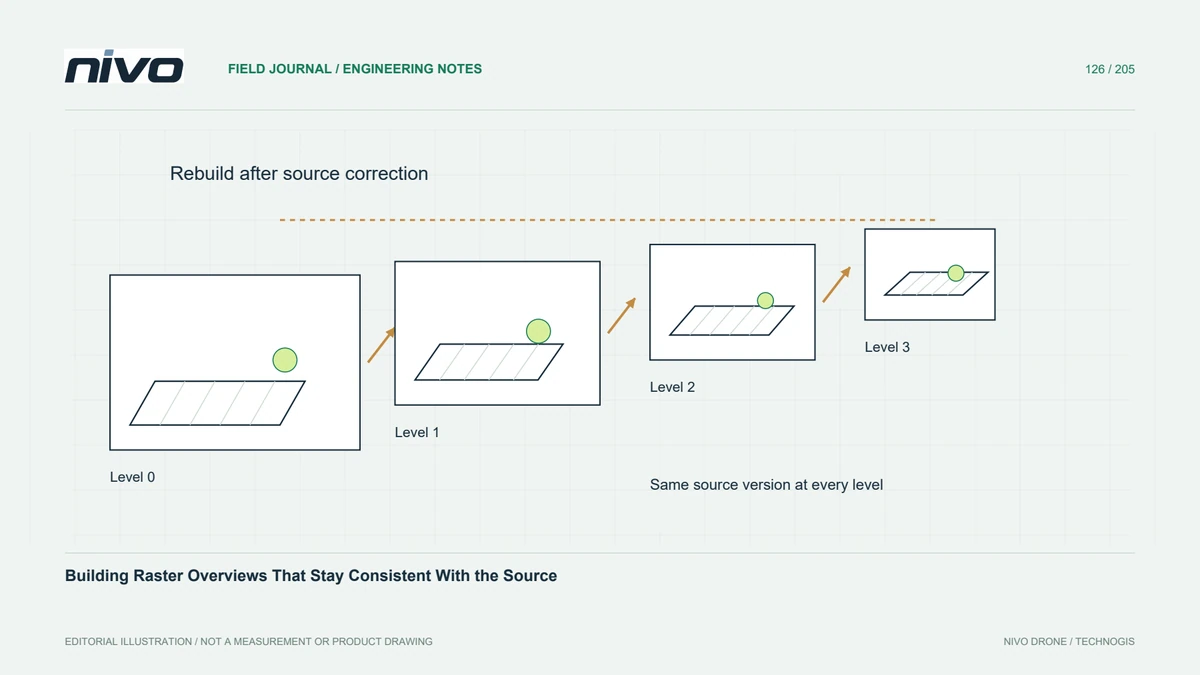
A convenient online view may show a styled, reduced representation of the accepted orthomosaic. Tell users whether measurements should use that view or a separate analytical download. Preserve the coordinate reference, valid coverage, acquisition date, and product version with both routes. If a source raster is replaced, refresh dependent overviews or exports deliberately so a distant view does not display obsolete information beside current detailed pixels.
Accept a repeatable export recipe
For a hypothetical corridor handover, provide one accepted COG sample before converting every block. Ask the recipient to open it remotely and locally, identify known features, and inspect its metadata. Retain the conversion recipe, software version, comparison results, and location of the original. GDAL documents COG creation and GeoTIFF behavior; those references support packaging decisions while the survey's independent quality evidence continues to establish positional suitability.