Building Raster Overviews That Stay Consistent With the Source
Improve browsing of large drone datasets while keeping overview resampling, source edits, external pyramid files, and analytical values under explicit control.
Recognise the role of a pyramid
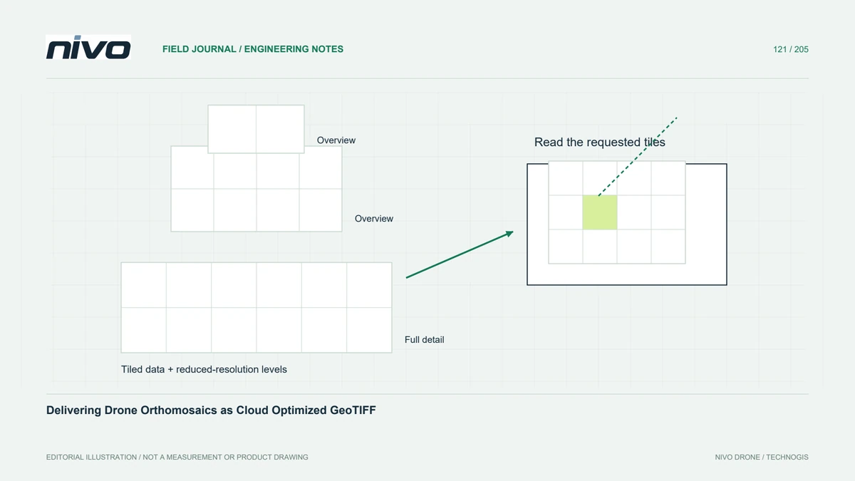
Overviews are reduced-resolution representations that help software display a large raster at small map scales. They are useful for quickly moving across a drone orthomosaic or terrain model. They do not add spatial detail or improve survey accuracy. Keep the distinction clear when a fast-looking overview becomes a screenshot in a report or a source for later processing.
Match reduction to the raster meaning
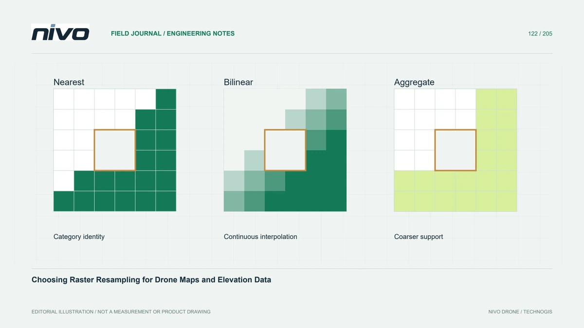
Choose a reduction method that respects the stored information. Averaging may suit a continuous display surface, whereas interpolating class codes can create meaningless categories. A dominant-class overview can suppress small but important patches even when its codes remain valid. Decide whether the preview should emphasise typical conditions, preserve particular features, or simply provide orientation without supporting measurement.
Plan practical overview levels
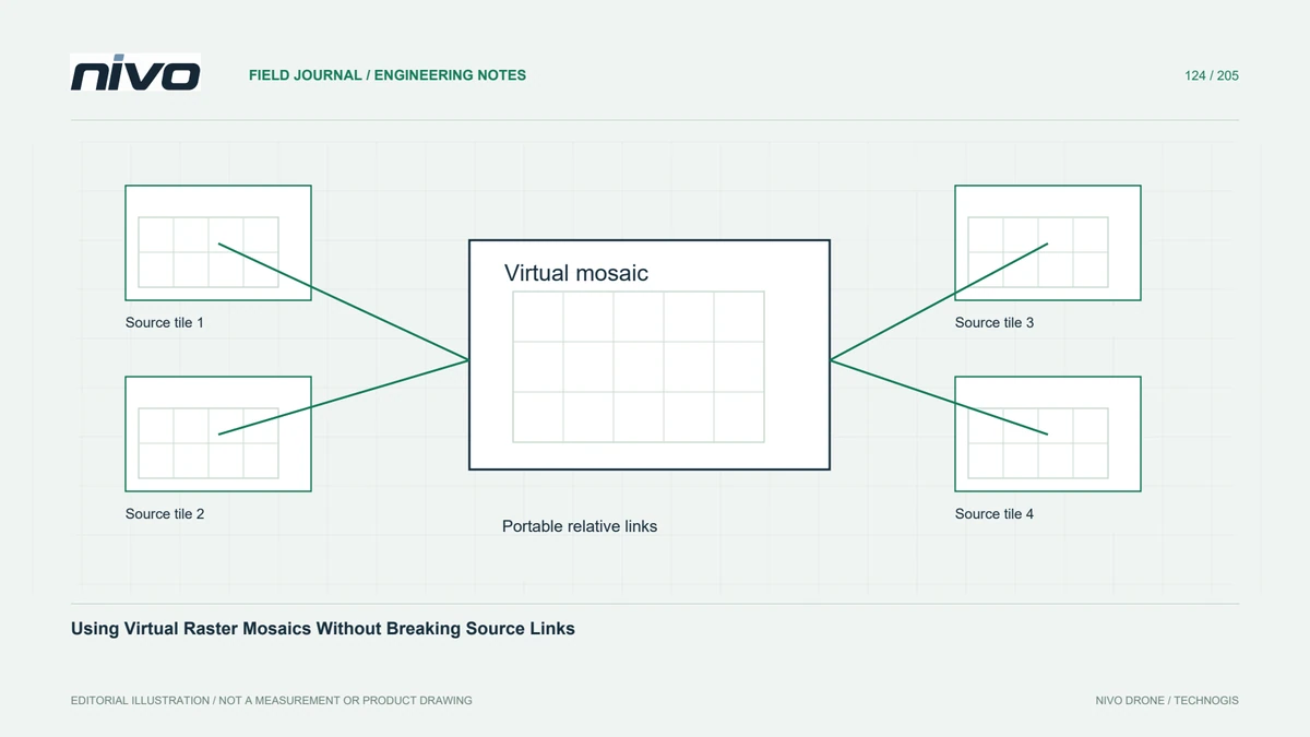
Build levels that cover the scales people actually use, rather than creating every possible intermediate size. Review the resulting file size and browsing behaviour on representative hardware. Internal overviews can simplify packaging; external pyramid files may suit restricted write access or a particular application. Neither arrangement guarantees that the receiving program will choose the expected level automatically.
Treat source edits as a dependency change
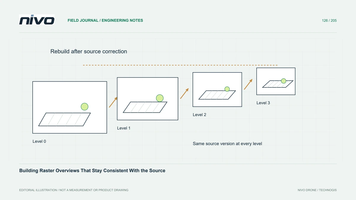
If pixels, masks, or relevant source interpretation change, existing overviews may no longer describe the current raster. A corrected seam can remain visible in an old pyramid while disappearing at full resolution. Regenerate or refresh the affected representations using a recorded procedure. Changing the map style alone is different from editing source values, so establish which dependency actually changed.
Check external files during transfer
For a hypothetical coastal orthomosaic update, copy the raster and all required sidecars into a clean handover folder. Open the dataset at regional scale, then zoom to a corrected shoreline window at native resolution. Temporarily omit an external overview file to understand whether the recipient sees slower loading, missing previews, or an application-specific failure requiring clearer packaging instructions.
Accept both display and measurement behaviour
Record overview levels, resampling, creation date, and the source version they represent. Compare selected full-resolution measurements before and after overview generation to confirm that the base data remain intact. Acceptance should include smooth navigation and agreement at a known corrected location. A separate analytical export may be preferable when a display-oriented pyramid could otherwise be mistaken for authoritative reduced-resolution data. State this explicitly.