Choosing Raster Resampling for Drone Maps and Elevation Data
Compare nearest neighbour, interpolation, and aggregation methods against raster meaning so reprojection preserves useful measurements and categorical labels.
Identify what each pixel means
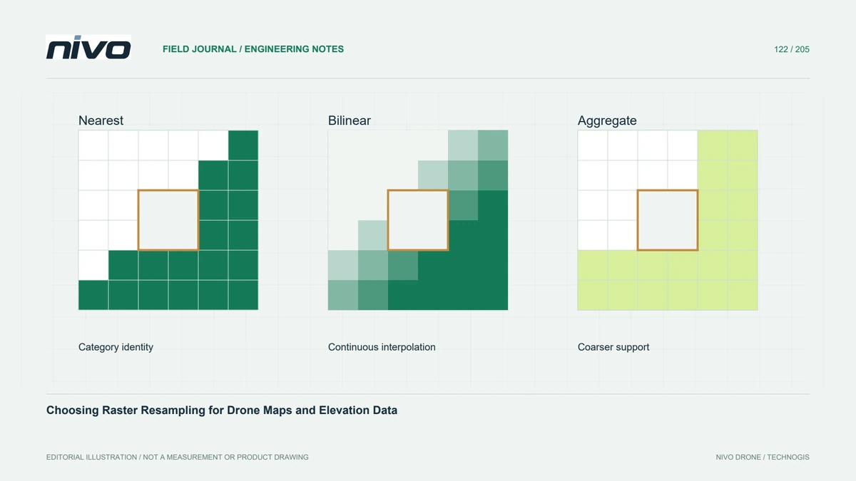
Resampling estimates output pixels when a raster changes grid, resolution, or coordinate system. The correct choice depends on whether values describe continuous measurements, photographic color, or discrete categories. An elevation raster and a land-cover classification should not automatically share one export preset. Write down the intended use and units before processing, because an attractive display can conceal numerical changes that matter to subsequent calculations.
Preserve categorical identities
Nearest-neighbour sampling selects an existing value rather than interpolating between class codes. This makes it a common starting point for categorical rasters, where averaging woodland and road identifiers would create a meaningless category. However, selection can alter the representation of small patches or narrow boundaries. Compare class counts, boundary examples, and affected areas at the proposed output resolution instead of assuming every original feature will survive.
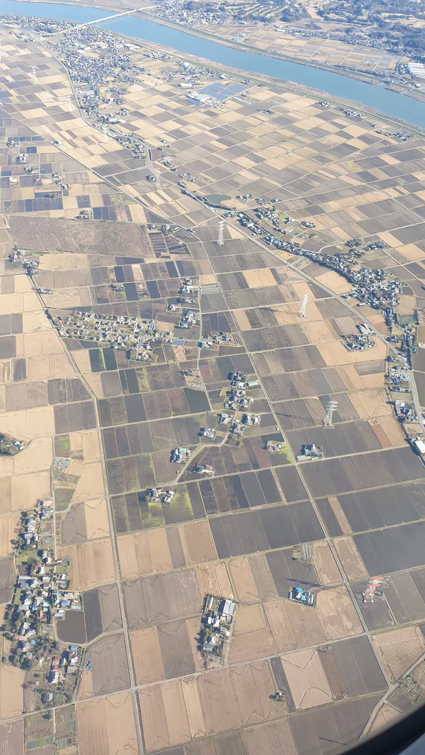
Understand interpolation of continuous surfaces
Bilinear and cubic approaches combine neighboring values in different ways. They can make continuous imagery or surfaces appear smoother, but smoothness is not independent evidence of accuracy. Interpolation changes local values, and some kernels may produce overshoot near sharp transitions. Examine roof edges, embankments, and valid-data boundaries using profiles and original samples. Choose behavior appropriate to the analytical question, rather than selecting the most visually pleasing result.
Treat reduction as a separate decision
When making a coarser raster, a method that summarizes contributing observations answers a different question from sampling one source pixel. An average surface elevation is not necessarily the highest obstruction or lowest drainage point. Specify the statistic that the user needs. Test a representative small structure and a broad uniform area, and document whether their changed appearance follows a deliberate information summary or an unintended loss of detail.
Check masks and alignment together
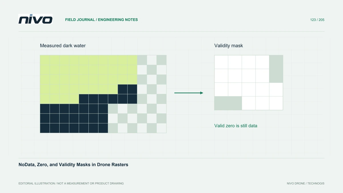
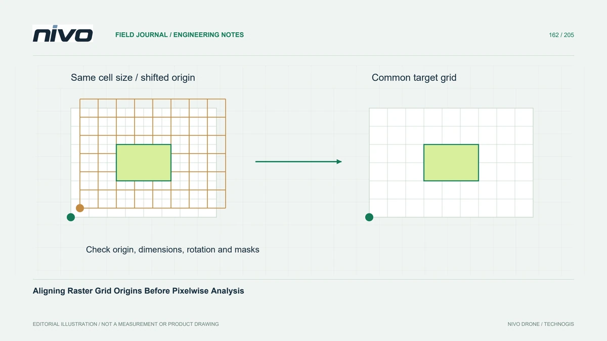
NoData, alpha masks, and output-grid positions influence which source pixels contribute. Values beside an excluded area can behave differently from values surrounded by complete coverage. Confirm source validity rules before comparing methods. Reproject from the preserved original when practical instead of repeatedly resampling an already altered copy. Several seemingly harmless conversions can complicate interpretation because the final raster inherits the effects of each earlier operation.
Record a purpose-specific acceptance example
For a hypothetical drainage study, compare alternative outputs on a fixed set of profiles and known reference locations before approving the export recipe. Keep the same extent, grid origin, and pixel size so the method is the variable being investigated. Deliver the selected algorithm with its rationale and source version. GDAL's warp and translation documentation describes available methods; project-specific checks establish whether their results preserve the information actually required.