NoData, Zero, and Validity Masks in Drone Rasters
Keep unobserved cells separate from genuine zero measurements when preparing elevation, reflectance, and classified drone rasters for downstream analysis.
Start with the meaning of absence
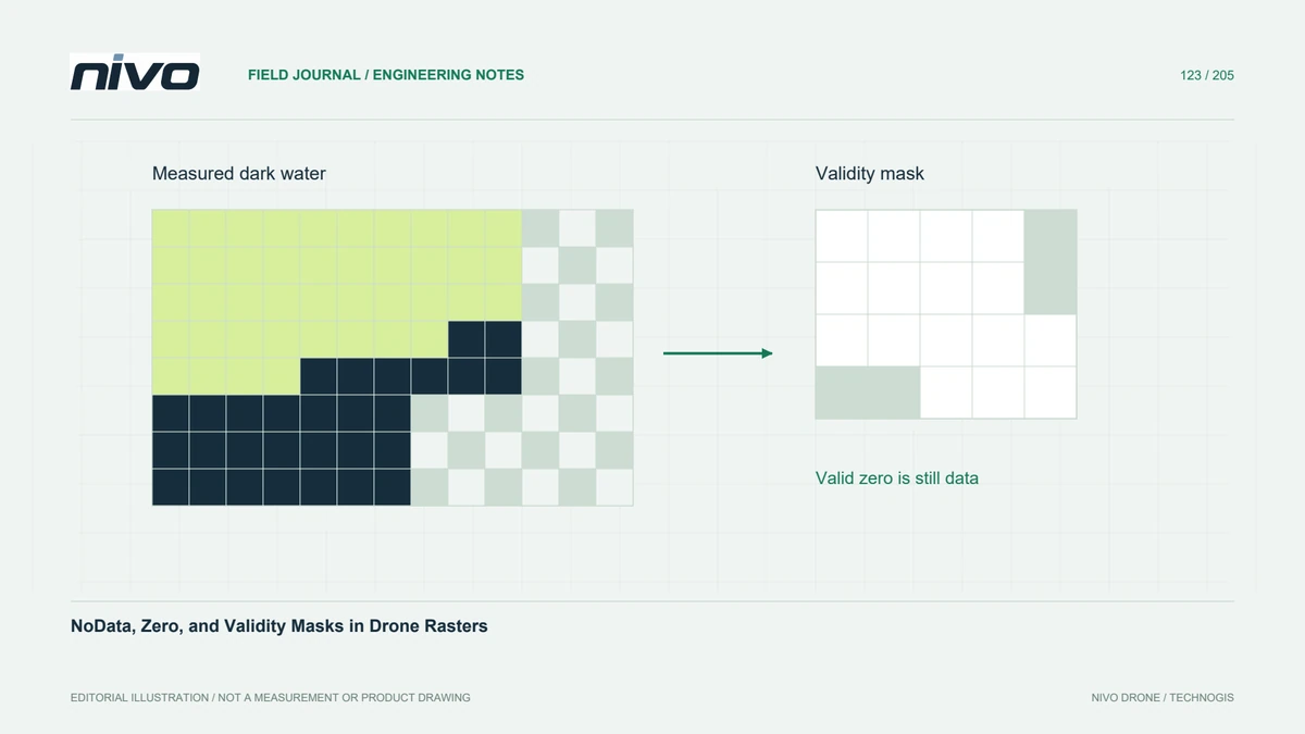
A black border on an orthomosaic may represent missing coverage, an intentionally masked area, or valid dark material. These cases need different treatment. Before changing pixel values, inspect the dataset's band metadata, validity mask, and acquisition footprint. A genuine elevation of zero or a low reflectance measurement must not disappear merely because zero looks convenient as a background colour.
Choose a representation that fits the values
A numeric NoData marker reserves one value for absence; a separate mask can identify validity without sacrificing an otherwise meaningful value. Choose a marker that the data type can represent and that does not collide with valid observations. For a classified raster, reserve and document an unused code rather than assuming the first class is empty background.
Inspect more than the visible colour
A GIS renderer may make invalid pixels transparent while another viewer displays them as a solid colour. Conversely, setting a transparent display colour may leave every measurement valid for analysis. Query individual cells and compare mask status with stored values. Examine all relevant bands, especially when one band has missing coverage that other bands do not share.
Follow validity through calculations
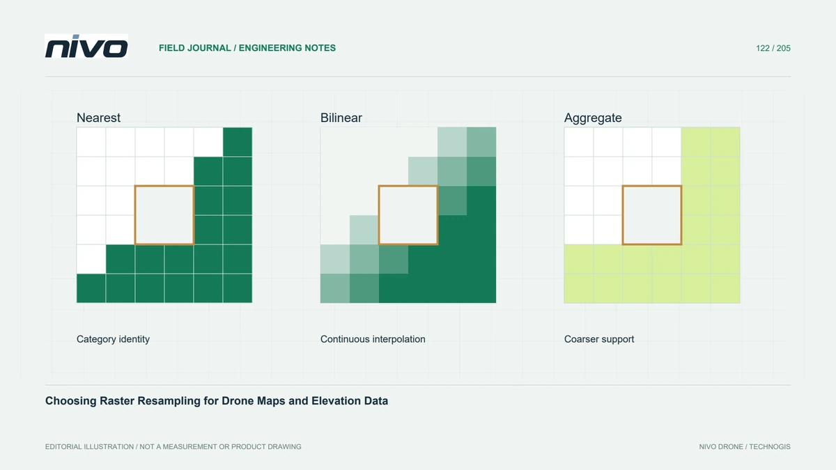
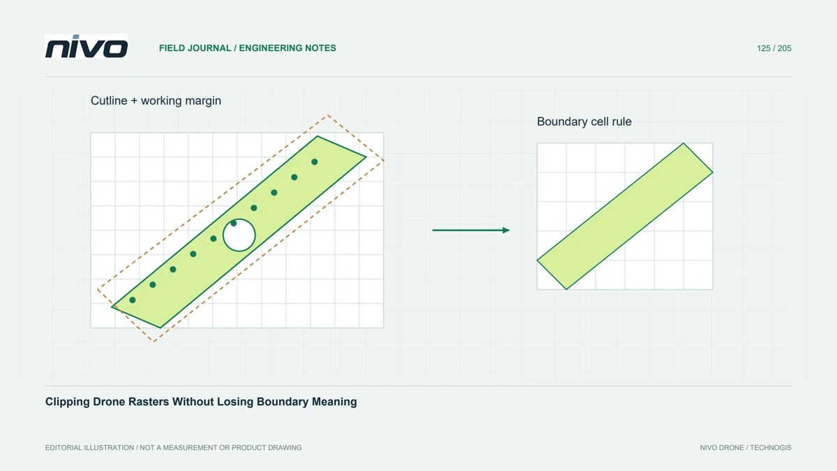
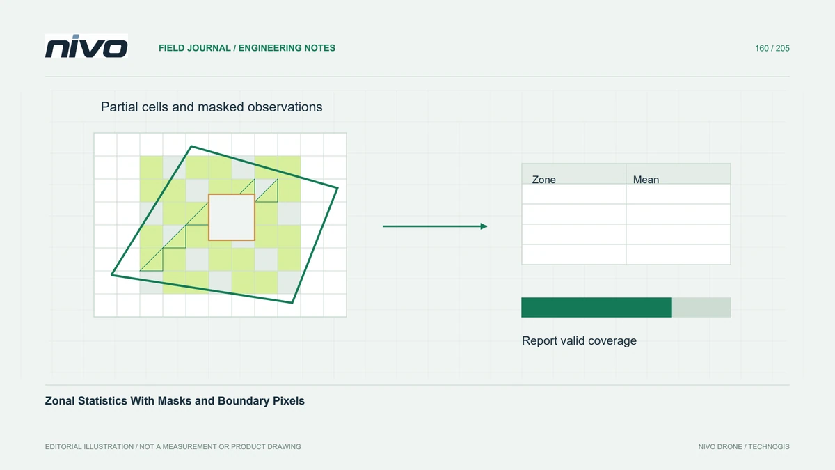
When clipping, reprojecting, or combining rasters, explicitly define how invalid inputs affect the result. Averages that accidentally include a background sentinel can create extreme artificial elevations. Treating missing observations as zero can depress reflectance summaries. Check the software's resampling and mask rules, then compare a short profile across an observed-to-unobserved boundary before accepting a large export.
Test the boundary deliberately
In a hypothetical reservoir survey, exposed shoreline and dark water meet an unobserved margin. Create a test window containing all three conditions. Confirm that measured low elevations remain available, excluded water follows the agreed mask, and the outside margin remains invalid. Compare the valid-cell count before and after conversion; explain intentional differences instead of hiding them with display styling.
Deliver a small verification sample
Package the raster with a brief validity definition, the chosen NoData representation, and any external mask files that it requires. Include a small reference window with expected valid and invalid locations so another analyst can repeat the check. Acceptance should demonstrate correct statistics and boundary behaviour in the receiving software, rather than relying on an attractive transparent preview. Retain that sample with the final processing record.