Clipping Drone Rasters Without Losing Boundary Meaning
Separate a reporting boundary from observed coverage, choose explicit cutline rules, and inspect edge pixels before delivering a clipped orthomosaic or elevation model.
Separate three different boundaries
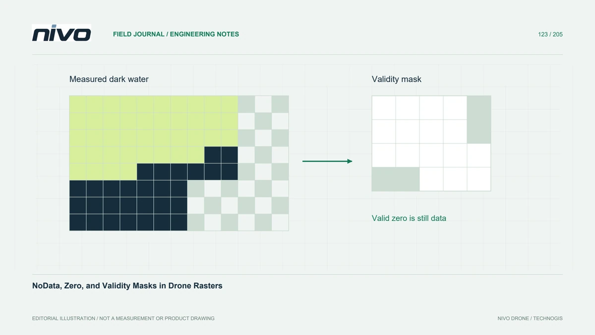
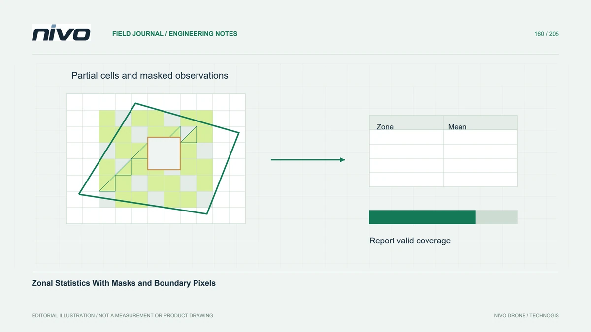
A project's contractual boundary, the aircraft's image footprint, and the final raster's valid coverage are different geometries. A polygon can define the requested reporting area without proving that every location inside it was observed. Keep the acquisition footprint and coverage mask available, and identify internal gaps rather than filling them simply to make the clipped rectangle look complete.
Validate the cutting polygon
Check that the cutline has a defined coordinate reference system, valid geometry, and the intended holes and multipart features. Confirm its location against known project landmarks after any transformation. An outdated boundary can remove current works while retaining irrelevant surroundings. Save the exact polygon version used for the export so a later dispute can be investigated from evidence.
Specify the edge inclusion rule
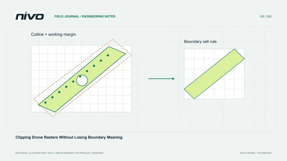
Raster clipping has to translate a continuous polygon boundary into discrete cells. Centre-based inclusion and rules that include touched cells can produce different edge counts, especially along narrow strips and diagonal boundaries. Select the rule for the analytical purpose and document it. A map that appears identical at overview scale can nevertheless report a different area or mean elevation.
Preserve a processing margin
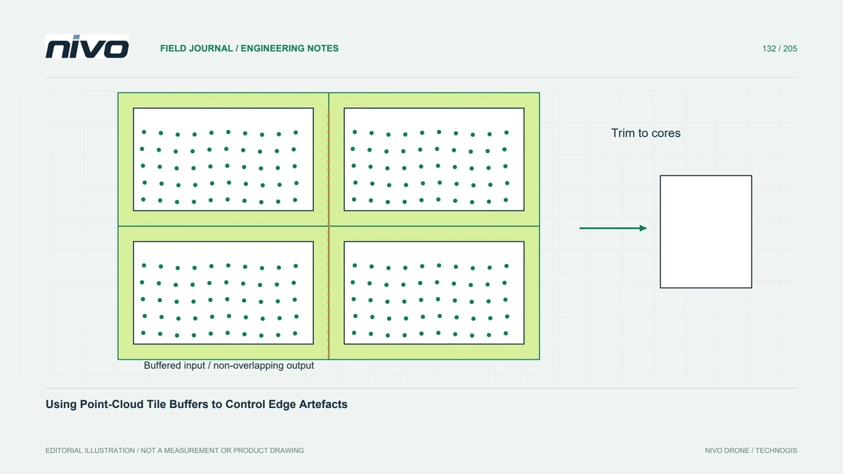
Clipping too early can deprive neighbourhood operations of supporting cells outside the requested boundary. Slope, interpolation, and filtering may then develop edge artefacts. Process with an appropriate surrounding margin before applying the final reporting cutline. The margin should follow the operation's support requirements and available observations; it must not invent missing data beyond the actual survey footprint.
Inspect holes and narrow features
In a hypothetical pipeline easement, test a window containing a narrow access strip, a polygon hole, and an oblique parcel edge. Check valid-cell counts and inspect cell footprints at native resolution. Compare a buffered working raster with the final clipped export to confirm that terrain calculations remain stable inside the reporting area and that excluded land is actually masked.
Describe exactly what was delivered
Deliver the cutline, its coordinate reference, the clipping settings, and a coverage statement alongside the raster. Distinguish intentionally excluded cells from unobserved cells whenever the receiving workflow needs that distinction. Acceptance can include known inside and outside test locations plus a summary of remaining gaps. This provides a reproducible boundary interpretation instead of a visually convincing but ambiguous cropped image.