Aligning Raster Grid Origins Before Pixelwise Analysis
Check grid origin, cell size, rotation, extent, and validity before combining rasters so identical resolutions do not conceal shifted pixel footprints.
Recognise that resolution is not alignment
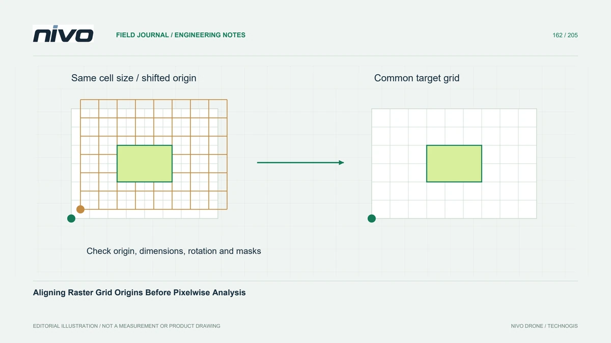
Two rasters can share a coordinate reference system and pixel size while their cell origins differ. Their pixels then represent different ground footprints. Subtracting values by array position can compare neighbouring locations rather than the same area. This matters for elevation differences, vegetation indices assembled from separate layers, and any threshold analysis where a small displacement near a sharp boundary can create a false pattern.
Inspect the complete grid definition
Inspect origin coordinates, pixel dimensions, rotation terms, raster dimensions, bounds, and coordinate reference definitions. Confirm whether metadata describes cell corners or another convention in the relevant interface. A visual overlay at small scale may hide a fractional-cell shift. Examine known grid intersections numerically and display cell footprints at native resolution before concluding that matching map extents imply matching arrays.

Choose a deliberate target grid
Select a target grid from the analysis purpose and the most appropriate source, not simply the first file opened. Define its origin, cell size, extent, and reference system explicitly. Decide whether the analysis requires an intersection of valid coverage or a larger union with missing areas retained. Pixel-aligned extent options help implement a policy, but the policy itself must still be chosen.
Resample once with suitable rules
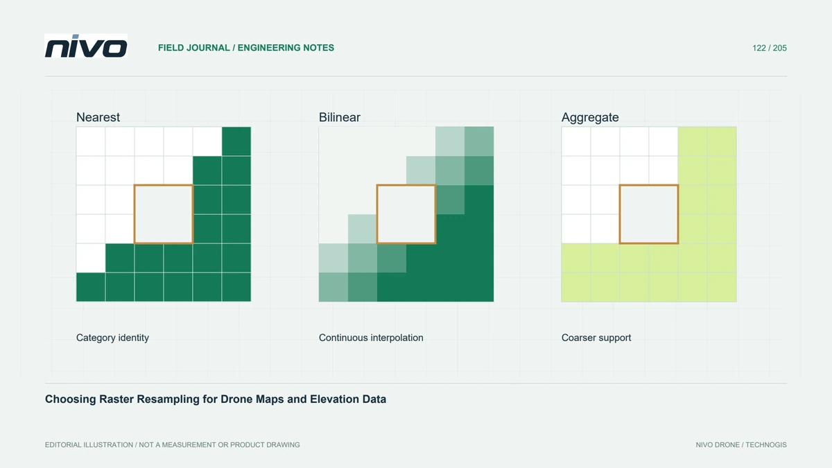
Reproject or resample each input to the agreed grid using a method suited to its values. Class codes require different treatment from continuous heights or reflectance. Avoid repeated intermediate resampling that obscures how source observations contributed to the final cells. Preserve masks consistently and check that a valid value in one raster is not paired with an unobserved or intentionally excluded location in another.
Test values at sharp boundaries
In a hypothetical repeat-survey comparison, use a test window containing a roof edge, open ground, and an outside-coverage margin. Inspect the aligned cell footprints and calculate differences only where both inputs meet the validity policy. A narrow band of opposite-signed differences along every sharp edge can indicate residual misalignment. Confirm that the issue is geometric rather than automatically reporting it as physical change.
Preserve the grid specification
Deliver the target grid definition, source versions, resampling choices, validity rules, and a small reproducible alignment check. Record any unavoidable loss of detail or changed support. Acceptance should establish that corresponding cells refer to the intended common footprints. Grid alignment is necessary for many pixelwise calculations, but it does not independently correct image georeferencing, terrain deformation, or a real displacement between the survey dates.