Choosing Flow Accumulation Thresholds for Drainage Mapping
Relate accumulation thresholds to contributing area, routing assumptions, grid resolution, and observed drainage so extracted channels remain interpretable.
State what accumulation represents
A flow-accumulation raster summarises upstream contribution according to a routing model. Depending on the inputs and software, values may represent contributing cells or another supplied quantity. They are not automatically measured discharge. Establish the value meaning and routing convention before drawing channels from a threshold. A visually dense network can reflect a permissive selection rule rather than a well-observed drainage system.
Choose the terrain and routing assumptions
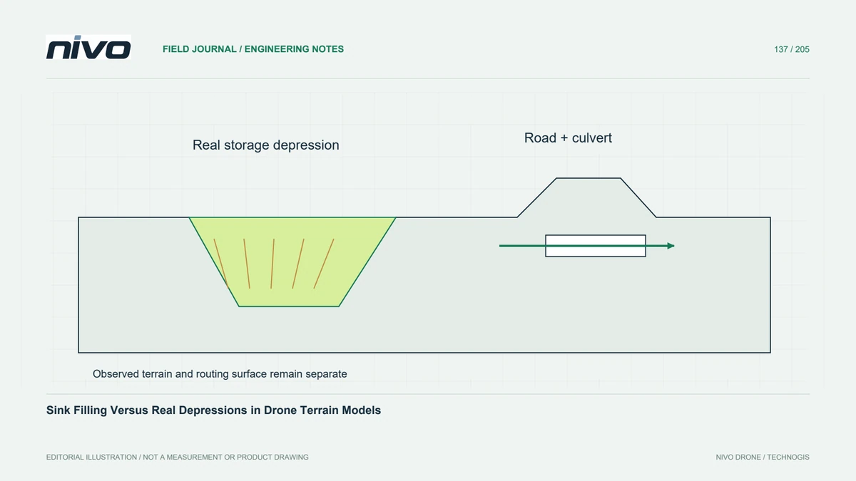
Use a surface appropriate to ground drainage and review how buildings, bridges, culverts, and real depressions are represented. Decide how the algorithm routes across flats and distributes flow among possible directions. Keep the observed terrain separate from a conditioned routing surface. These choices can change the network more substantially than a small adjustment to the final channel threshold.
Express thresholds in transferable terms
A threshold expressed only as a number of cells is tied to raster resolution. Where accumulation represents contributing cells, relate that count to cell area so comparisons have a physical interpretation. Repeating the same count after changing grid size can select a very different upstream area. Record the analysis grid, threshold definition, and any additional weights used in the computation.
Test the network against observations
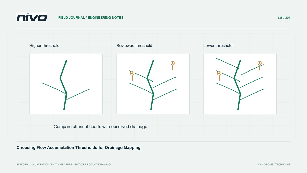
In a hypothetical hillside access project, extract several candidate networks and compare their channel heads with observed gullies, roadside drains, and field notes. A lower threshold may recover small features while producing spurious branches on noisy ground. A higher threshold may suppress noise while missing relevant shallow drainage. Choose a justified compromise and retain discrepancies for review rather than tuning until every visible line matches.
Investigate boundary and outlet effects
A drone survey boundary can exclude upstream terrain that contributes water to the project. Accumulation computed only inside that boundary may therefore underestimate contribution or create misleading edge behaviour. Inspect outlets and clipped catchments, and obtain appropriate surrounding terrain when the analysis needs it. Document locations where coverage limits the result instead of presenting the local network as a complete catchment assessment.
Deliver a sensitivity comparison
Deliver the terrain version, conditioning decisions, routing method, threshold, and a comparison showing how reasonable alternatives affect the network. Include observed features used for checking and locations that remain uncertain. Acceptance should establish a traceable drainage interpretation at the chosen scale. Hydraulic capacity, rainfall response, and flood consequences require additional information and methods beyond a terrain-derived accumulation map.