Sink Filling Versus Real Depressions in Drone Terrain Models
Review depressions before hydrological conditioning, preserve the measured terrain separately, and document how filling or other treatments change drainage interpretation.
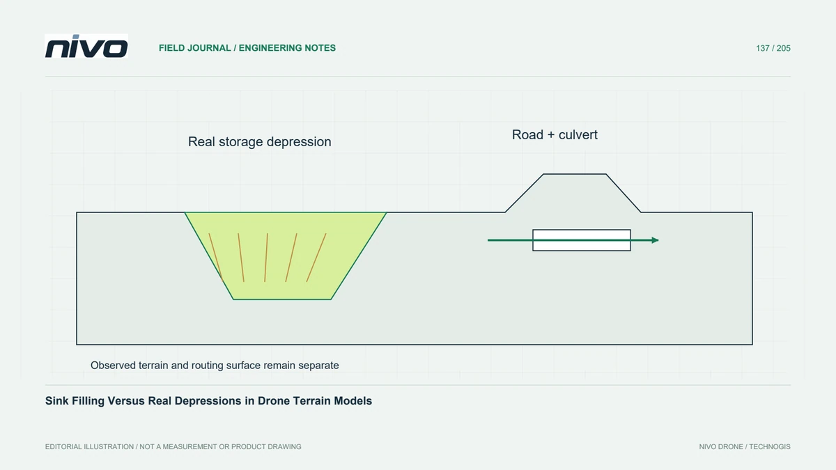
Do not assume every depression is an error
A closed depression in a terrain raster may be a real basin, an excavation, a local data artefact, or a consequence of a missing drainage connection. Automatically filling every sink changes that interpretation. Start by comparing the depression with imagery, ground observations, and point-cloud profiles. Distinguish a computational requirement of a routing method from evidence that the terrain itself should be corrected.
Match conditioning to the analysis method
Hydrological tools differ in how they handle depressions and flat areas; some do not require a depressionless input. Read the chosen method's documentation before conditioning the raster. Define whether the goal is potential surface drainage, a connected stream network, or storage in real basins. A treatment useful for one purpose may erase the feature that another analysis is meant to measure.
Map the changes explicitly
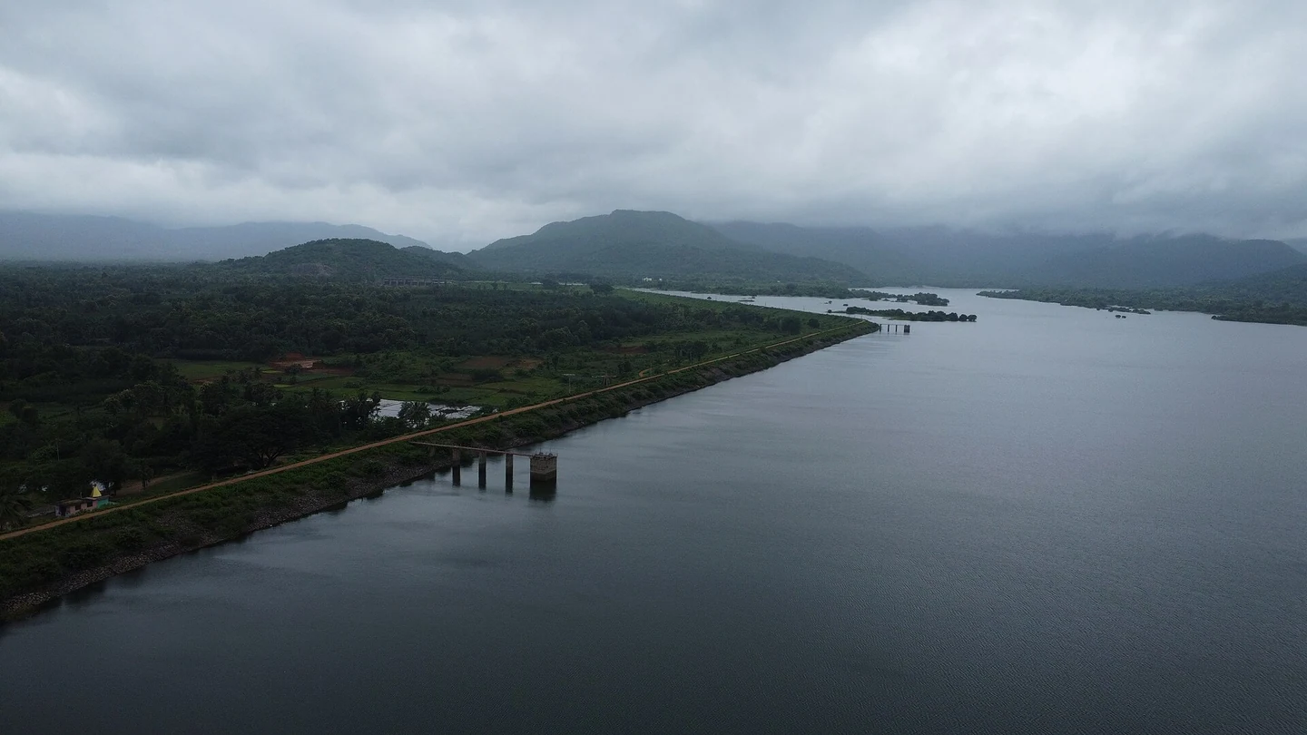
Keep the original elevation raster and calculate a change layer between it and any conditioned version. Inspect the footprint and magnitude of elevation changes, not just the appearance of the resulting channels. Large altered areas can identify a genuine basin or a poor outlet assumption. Review small changes near critical structures as well, because limited elevation modifications can redirect an entire local drainage path.
Check structures before forcing a connection
A road embankment may block surface flow while a culvert conveys water beneath it. A bare-earth raster does not necessarily encode that underground connection. Confirm structure locations and levels before introducing an artificial passage or breaching a barrier. Treat such modifications as model assumptions backed by separate evidence, rather than rewriting the observed terrain and presenting the result as a direct survey measurement.
Compare plausible drainage scenarios
In a hypothetical development site with a detention basin, compare an unconditioned surface, a reviewed routing surface, and the mapped drainage structures. Check whether automatic filling removes intended storage or directs flow across an embankment. Use field evidence to select the appropriate scenario, and retain unresolved alternatives where outlet conditions are unknown. The objective is a defensible interpretation, not simply a continuous blue network.
Keep the observed terrain recoverable
Deliver both the observed terrain and the conditioned analysis surface, clearly labelled with their purposes. Include depression review decisions, structure evidence, modification rules, and a summary of changed cells. Acceptance should demonstrate that the selected treatment matches the question and preserves real features that matter. Hydrological conditioning prepares a model; it does not independently establish discharge, flood depth, or the capacity of a drainage structure.