Using Virtual Raster Mosaics Without Breaking Source Links
Organise adjacent orthomosaic tiles with a virtual raster, predictable overlap priorities, compatible metadata, and portable links that survive project handover.
Understand what a virtual mosaic contains
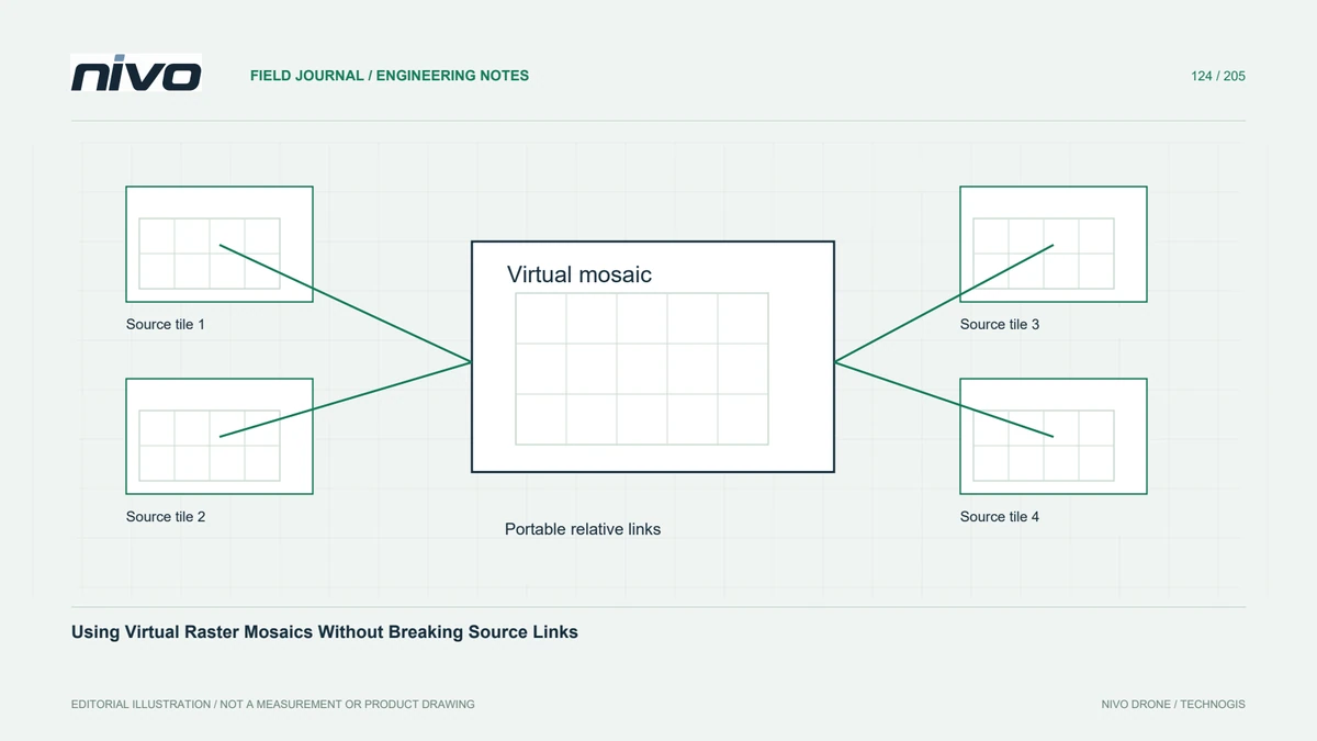
A virtual raster describes how existing raster files should be read together. It can present adjacent orthomosaic tiles as one dataset without immediately copying their pixels into a new image. The description remains dependent on its referenced sources. Deleting, renaming, or moving those sources can therefore break a mosaic that previously opened correctly on the processor's own workstation.
Check inputs before assembling the catalogue
Inventory coordinate systems, band counts, data types, pixel sizes, and validity conventions before construction. Similar filenames do not establish compatibility. Separate imagery from elevation tiles and avoid silently mixing differently styled exports. Where reprojection or resampling is required, make that transformation explicit and retain the original inputs, rather than assuming that a virtual catalogue repairs every mismatch automatically.
Decide which tile wins in an overlap
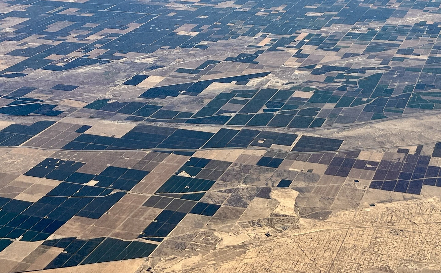
Overlapping tiles need a deliberate priority rule. A newer survey tile may be authoritative in one work area but unsuitable for a neighbouring historical comparison. Record the input order and test cells inside overlaps, including places where the preferred source contains invalid pixels. Do not infer the effective source from filename sorting or the apparent seamlessness of the overview.
Make paths portable on purpose
Use a stable project folder with a mosaic description and clearly named source subfolders. Relative references are useful when the entire folder tree will move together; absolute references can suit a controlled server but will not transfer automatically. Inspect the saved references, then copy the complete package to another location and reopen it without access to the original paths.
Use virtual access where it fits
A virtual mosaic is valuable for internal analysis, temporary processing, and preparing consistent subsets. It may be a poor final deliverable when recipients expect one self-contained file or use software that does not support the format. In those cases, materialise an agreed GeoTIFF export and check its values against the virtual view instead of handing over an incomplete dependency chain.
Prove the handover on a clean location
For a hypothetical industrial estate mapped in several blocks, prepare one catalogue per acquisition date and a manifest of source files. Test outer corners, overlap seams, and a requested extraction on a clean workstation. Accept the package only when it opens with the documented folder structure, returns the intended source values, and contains every dependency required for future reconstruction.