Choosing Contour Intervals and Smoothing for Drone Terrain Maps
Match contour presentation to terrain evidence, separate cartographic smoothing from surface correction, and verify elevation attributes and gaps before engineering handover.
Choose an interval from intended use
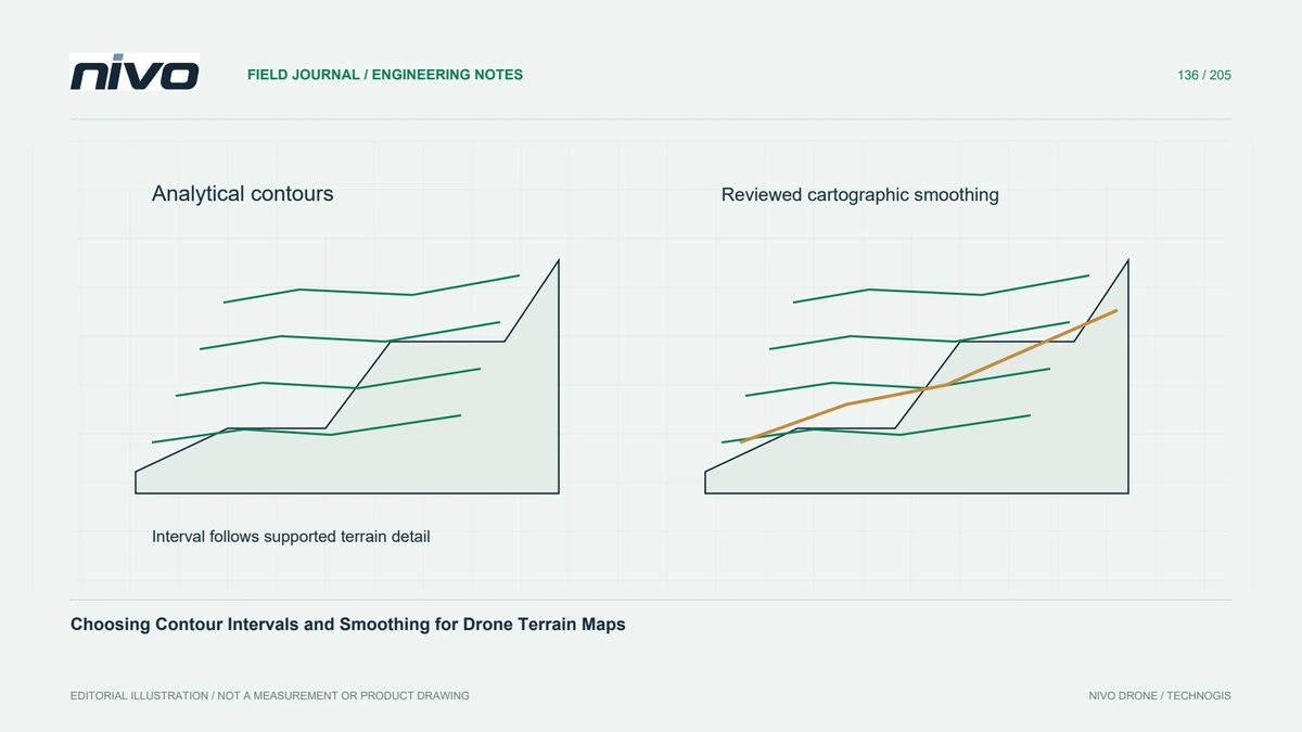
A small contour interval can make a map look detailed without adding reliable information. Choose the interval from the terrain's relief, the supported elevation quality, and the intended map scale. Dense lines on a steep slope may obstruct interpretation, while widely spaced lines can hide subtle drainage changes. Agree on the presentation purpose before treating a convenient software default as an engineering requirement.
Inspect the surface before generating lines
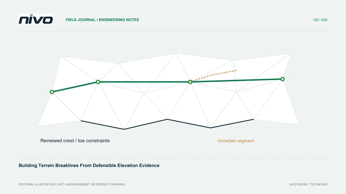
Review the terrain model for vegetation remnants, holes, seam artefacts, and inappropriate interpolation across water or structures. Contours express the surface supplied to the generator, including its defects. Removing an unattractive contour loop may hide a source problem rather than solve it. Compare suspicious patterns with point profiles and observed features before editing the lines or smoothing the underlying raster.
Control levels and elevation attributes
Record the interval, base level, selected band, elevation units, and treatment of invalid cells. Confirm that exported features contain a useful elevation attribute or appropriate three-dimensional geometry for the recipient's workflow. A label drawn on the screen is not necessarily a stored height. Test a known contour level after export, particularly when moving between GIS and engineering drawing software.
Separate smoothing from measurement
Cartographic smoothing changes line geometry and can move it away from locations implied by the original elevation model. Keep an unsmoothed analytical version when measurements or subsequent surface reconstruction matter. If smoothing is required for readability, choose a controlled method and inspect displacement around sharp corners, narrow ridges, and channels. Do not describe a smoother line as automatically more accurate.
Test difficult terrain features
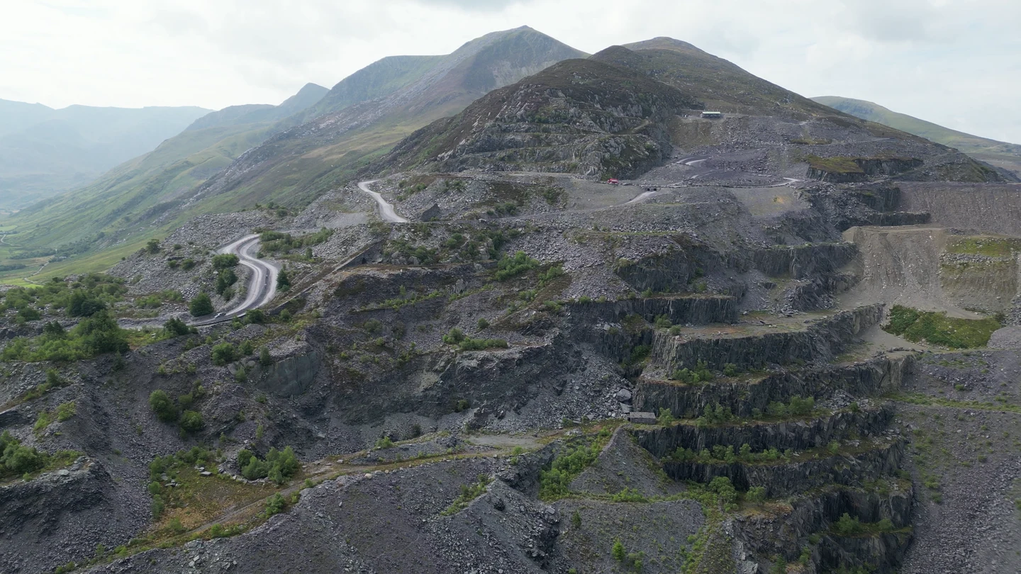
In a hypothetical terraced hillside survey, compare candidate intervals on both steep banks and broad benches. Check whether closed loops represent actual highs or lows, whether lines respect reviewed breaklines, and whether gaps remain visible where the model is unsupported. Review a profile across a disputed terrace. Select the presentation that communicates supported terrain structure without suggesting precision absent from the observations.
Make the contour legend technically useful
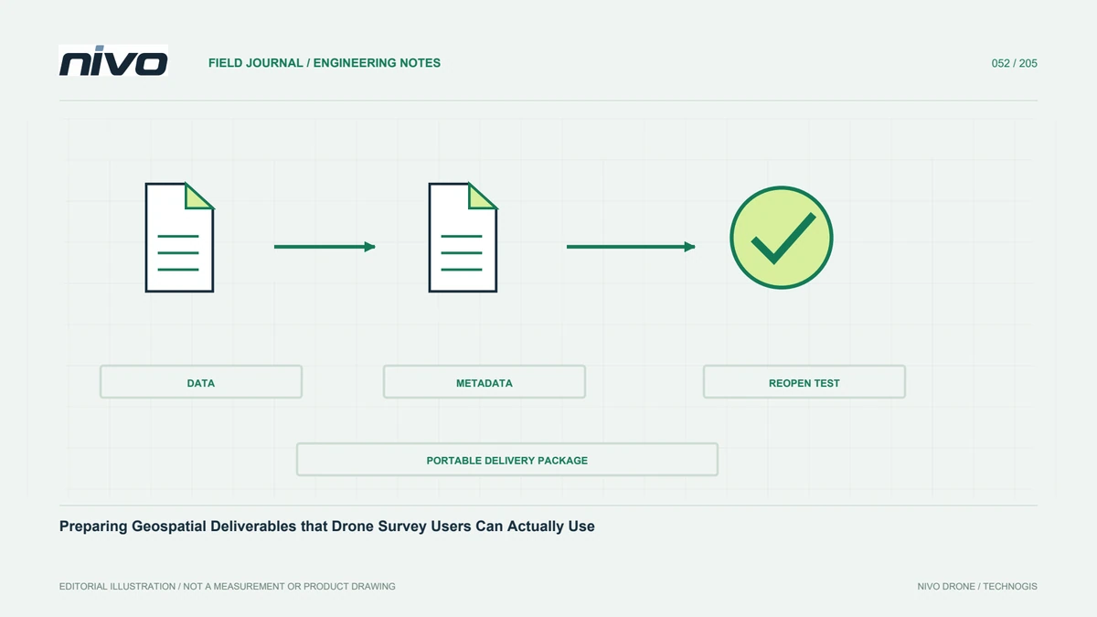
Deliver the source terrain version, contour settings, smoothing status, coordinate references, and a legend with clear elevation units. Identify any manually interpreted or edited segments. Acceptance should establish sensible terrain relationships, correct attributes, and consistent behaviour at dataset boundaries. Contours remain one representation of a measured and modelled surface; they should travel with enough context to prevent decorative detail from being mistaken for additional survey evidence.