Building Terrain Breaklines From Defensible Elevation Evidence
Use breaklines to represent terrain discontinuities and water boundaries while checking vertex elevations, connectivity, nearby observations, and the intended surface treatment.
Define the surface that the line constrains
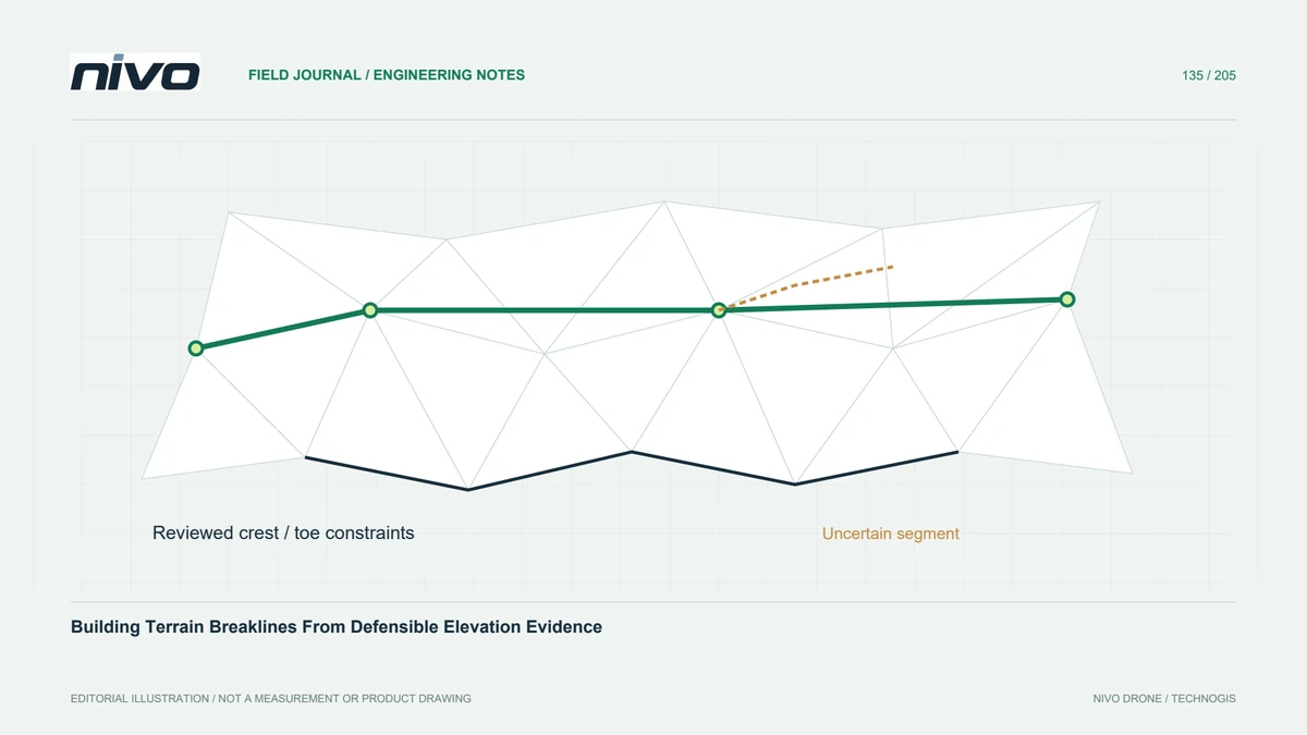
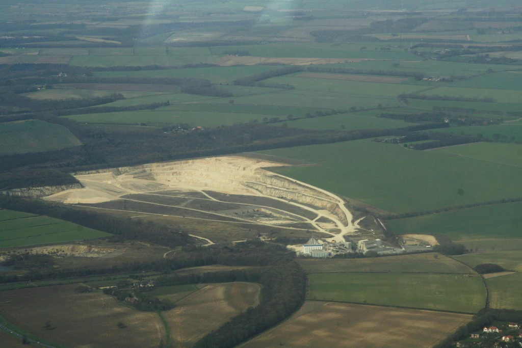
A breakline is useful when a terrain model should retain a meaningful edge, such as an excavation crest, bank, or abrupt grade change. It is more than a cartographic line traced on an orthomosaic. State whether it constrains an observed terrain discontinuity, an interpreted water boundary, or another agreed surface treatment. These purposes require different evidence and should remain distinguishable in the attributes.
Source elevations as carefully as positions
A clearly visible horizontal edge does not automatically provide a reliable elevation. Use appropriate survey measurements, reviewed point-cloud observations, or another documented elevation source for vertices. Confirm horizontal and vertical reference systems and units before combining sources. Avoid assigning heights from vegetation, a bridge deck, or an interpolated gap when the line is meant to represent bare ground.
Check intersections and connectivity
Inspect line crossings, dangling ends, duplicate segments, and vertices with inconsistent elevations at shared locations. A sharp terrain edge may legitimately terminate, while a water boundary may need closure. Define the topology required by the specific feature rather than forcing every line into a closed polygon. Check continuity across tile boundaries so the constrained surface does not inherit artificial steps.
Review conflicts with surrounding observations
Nearby points and breakline vertices may disagree because of classification errors, timing differences, or an incorrectly placed line. Investigate those conflicts before interpolation. Do not indiscriminately move observations to match a preferred shape. Where an agreed surface treatment requires excluding or reinterpreting points near a constraint, record that policy and preserve the original observations as a separate, recoverable source.
Compare constrained and unconstrained surfaces
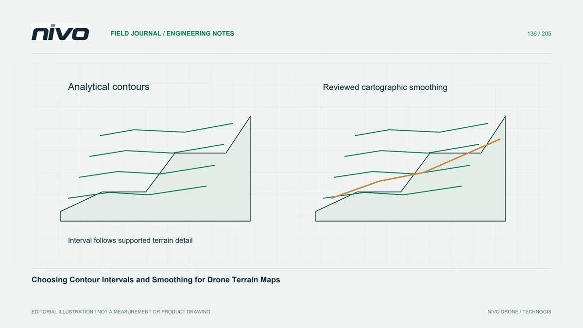
In a hypothetical excavation survey, build a small test surface with and without reviewed crest and toe lines. Compare cross-sections, triangle connections, and contour behaviour at a curved corner. A useful breakline should represent supported geometry rather than merely create a sharper-looking result. Mark uncertain portions for supplementary observation instead of drawing a continuous edge through areas with no defensible height evidence.
Deliver lines with their interpretation
Deliver the three-dimensional lines, feature meanings, elevation sources, creation method, and any exclusions applied during surface generation. Keep original measurements separate from derived constraints and retain a clear version relationship to the terrain output. Acceptance should confirm correct positioning, consistent heights, intended topology, and sensible local surface behaviour. A breakline improves representation only when its own geometry and interpretation are trustworthy.