Preparing COPC Point Clouds for Selective Spatial Access
Use a spatially organised point-cloud delivery for selective reading, while checking preserved dimensions, requested resolution, coordinate metadata, and hosting behaviour.
Choose the access problem first
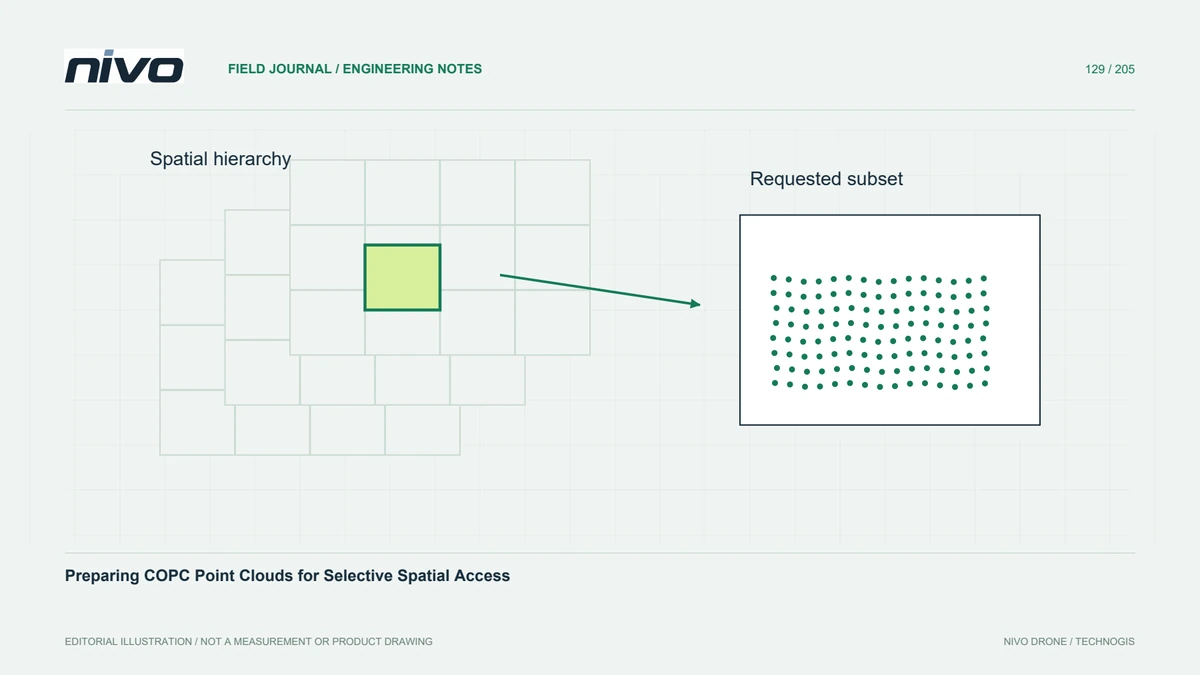
A large point cloud often needs only a small area inspected at one time. COPC organises compressed point data spatially so compatible software can retrieve selected parts without treating the file as an undifferentiated stream. This addresses access efficiency, not observation quality. Start with the recipient's actual tasks: interactive inspection, bounded extraction, complete processing, or long-term archiving with reproducible attribute access.
Preserve the meaning of the source
Inventory coordinate reference information, point counts, classification, return information, colour, and project-specific dimensions before conversion. Confirm which attributes the chosen reader and writer support. An attractive browser view may show only position and colour while omitting attributes needed for engineering analysis. Preserve the original delivery until a comparison demonstrates that the new representation retains everything required by the agreed use.
Distinguish spatial queries from full reads
Spatial bounds and requested resolution can influence the points a reader returns. A coarse interactive view is useful for orientation but should not silently become the analytical sample for density or clearance calculations. Record the query settings when exporting a subset. When completeness matters, verify that the extraction requests the intended full detail rather than the viewer's current display level.
Verify the delivery route
Test through the same storage and network route the recipient will use. A local desktop test cannot establish that remote requests, access permissions, or a particular client behave correctly. Choose a small area near the dataset edge and another near its centre. Observe whether navigation loads incrementally and whether a requested subset finishes without requiring an undocumented alternative download path.
Compare representative subsets
For a hypothetical transport corridor, compare several bounded extractions with corresponding areas from the source cloud. Check coordinates, point counts under equivalent selection rules, and distributions of important attributes. Inspect a narrow bridge opening as well as open ground. Differences caused by an intentional spatial boundary rule should be distinguished from missing dimensions, changed precision, or unintended level-of-detail reduction.
Document an analytical fallback
Deliver the coordinate definition, conversion settings, supported access methods, and a clear route to an agreed analytical extraction. Include a reproducible subset example and retain the source-to-delivery comparison in the project record. Acceptance should establish useful selective access and preserved data meaning. If a recipient's software cannot read COPC adequately, provide a compatible subset format instead of assuming the browser preview is sufficient.