Preserving Coordinate Precision When Exporting LAS Files
Choose LAS coordinate scale and offset deliberately, distinguish storage increments from survey accuracy, and compare exported coordinates before point-cloud handover.
Distinguish storage precision from accuracy
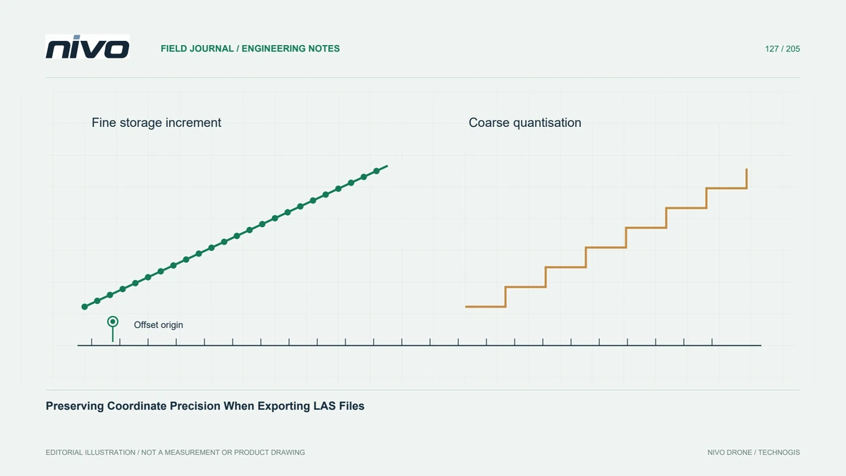
A LAS file can store finely spaced coordinate increments even when the survey observations are much less accurate. Conversely, an unsuitable export scale can discard useful precision from well-controlled data. Specify storage requirements separately from acceptance accuracy. A decimal display with many digits does not establish measurement quality, and a compact compressed file does not necessarily imply reduced coordinate precision.
Understand the scale and offset pair
LAS represents coordinates through integer values combined with scale factors and offsets. The scale controls the representable increment; the offset shifts the coordinate range. Changing these settings requires care because real-world coordinates must be encoded again. An offset is a storage mechanism, not a datum transformation, and must never be used as an undocumented correction for a misplaced survey.

Choose settings for the coordinate range
Inspect the full coordinate extent and required increments in all three axes before choosing export settings. A very fine scale combined with a poorly chosen offset can exceed the integer representation's range. A coarse scale can visibly quantise slopes or narrow features. Select settings from the dataset and delivery specification, rather than adopting a convenient template from an unrelated project.
Control conversions between processing stages
Processing tools may choose new scale and offset values unless preservation is requested explicitly. Check the writer's documented options and inspect the completed header after every format conversion. Reprojection can require different settings because the coordinate range changes. Preserve original source files so that a failed export can be repeated without compounding rounding through multiple intermediate copies.
Test values beyond the bounding box
For a hypothetical drainage survey, select points spanning the dataset's extremes and several gently sloping surfaces. Compare decoded coordinates before and after export, summarising the actual differences in each axis. Inspect a short profile for stair-stepping that may be hidden in a full-site view. Check point counts and attributes as well; an unchanged bounding box alone cannot verify preservation.
Keep a reproducible export record
Record the selected scales, offsets, coordinate reference system, export software, and source version in the handover manifest. Supply a small comparison table or automated check that the receiving team can reproduce. Accept the file when differences satisfy the agreed storage tolerance and the expected attributes survive. This evidence concerns export integrity; independent field checks remain responsible for demonstrating survey accuracy.