Drone Inspection of Bridges and Structures as a Technical Inspection Aid
Plan bridge documentation using element identities, agreed image detail, realistic viewpoints, traceable evidence, and clear boundaries for visual assessment.
Position the drone as an inspection support tool
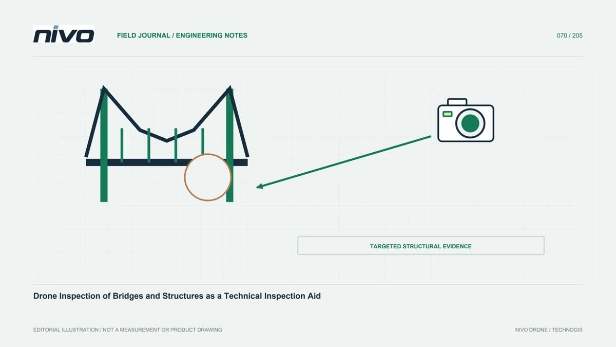
A drone can document structural areas difficult to view from some ground positions, but cameras do not replace every bridge-inspection method. Some assessments require physical contact, particular measurements, response observation, or other technical techniques. Define the aerial scope with the asset examiner, separating questions imagery can support from those requiring another method. This protects the value of the technology by keeping evidence within its capability. The program should connect aerial documentation to the condition-assessment process established by the owner and relevant technical personnel.
Use consistent element and location identities
Agree span, side, element, and finding names before acquisition. Bridges contain repeated parts that can look alike in close images. Without identity, detailed evidence may be difficult to locate. Use a layout showing relationships and viewing directions. Give every finding a stable number and contextual view before reviewing detail. Operators and examiners need shared terms for instructions. This supports later change comparisons and reduces the chance that follow-up work targets a different element from the one actually shown in the report.
Agree required detail with the examiner
General site documentation needs different evidence from a joint, surface condition, or small component. Capture trial examples and ask the examiner whether they satisfy the purpose. Screen enlargement alone does not justify defect measurement. If dimensions are to be estimated, define the method and checks first. Inspect original files for focus, sharpness, and light. An early trial provides a basis for accepting or revising the setup before the team produces a large image collection unable to support the intended technical judgment.
Review obstructions, lighting, and viewing access
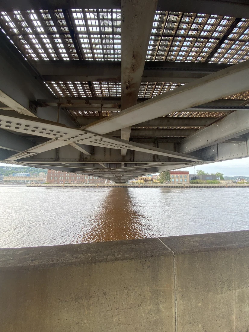
Undersides and structural sides can have limited light, high contrast, and obstructed views. Examine these conditions before choosing the documentation route. Identify components hidden by other elements. Successful overhead mapping does not prove the entire structure was inspected. The plan must consider vehicle limits and actual site operations. Mark inadequately documented areas for another method instead of implying completeness through a visual model. A clear coverage record helps the recipient understand which elements genuinely have enough source evidence for the agreed inspection purpose.
Coordinate observation with asset operations
Coordinate with the owner on access, work areas, communications, obstructions, and changing circumstances. A digital model alone is insufficient for operational planning. Distinguish the aircraft operator's responsibility from the structural examiner's requests so that image objectives do not blur flight authority. Brief when work must stop or be reassessed. Clear coordination helps obtain useful documentation without making a particular photograph a reason to exceed reviewed operating boundaries. The plan should remain responsive to actual conditions rather than treating a stored route as an unconditional instruction.
Use photographs and models for their proper roles
Source photographs carry detail, while a 3D representation can aid orientation and explain structural relationships. The model may not preserve equivalent detail and can contain weakly observed portions. Link findings to original files and element identities. Do not judge a condition or its size solely from projected texture without suitable checks. Measurement requires an appropriate reference and accuracy assessment; visual navigation is a different role. Purposeful outputs make clear which material is observational evidence and which representation simply helps people understand the structure's context.
Separate visual facts from condition conclusions
Operators can record visible shape, color changes, unusual parts, or surface appearance. Technical meaning and effects on structural performance belong to competent assessment. Distinguish direct observation, initial explanation, and required follow-up. Do not turn an uncertain image into a definite defect label. Include additional views when useful for testing explanations and note areas hidden by light or obstruction. Stated evidence levels help examiners use aerial data appropriately within their condition-assessment workflow rather than treating all observations as equally conclusive.
Make reports comparable between inspection periods
Keep element identities, finding locations, dates, conditions, contextual views, and detail used for assessment. Retain reference viewpoints and document changes in acquisition. Angle or light can alter appearance without physical change. Link old and new observations through stable identities rather than simply stacking dated folders. Record maintenance timing as well. This allows the owner to examine development and evaluate the documentation's usefulness. Evidence gains value when connected to asset history, subsequent investigations, and the decisions made after each observation period.
Evaluate the configuration before expanding the program
Run a pilot covering briefing through a report reviewed by the examiner. Assess sharpness, element completeness, relocation, and clarity of limitations. Discuss camera, gimbal, outputs, and aircraft integration around the intended mission when considering NiVO. One setup should not be assumed suitable for every bridge geometry or side. State what the trial demonstrated and what still needs other methods. This makes drone work a measurable part of inspection while keeping engineering decisions grounded in appropriate evidence and assessment techniques.
Illustrative case: a bridge detail that still needs physical assessment
Imagine a hypothetical bridge team using aerial photographs to document a surface condition on a repeated structural element. The images show the location and visible appearance clearly, but a draft caption assigns a precise defect size and concludes that no further inspection is needed. The qualified examiner asks how the dimension was established and whether the required condition assessment can be performed from these views alone. The team finds no validated measurement basis in the image package. It removes the unsupported numerical claim while preserving the useful visual observation and its element identity.
The examiner identifies which questions the imagery can support and which require another assessment method. The operator supplies original photographs, viewing context, lighting notes, and the record of areas that could not be seen. A three-dimensional model is retained as a navigation aid rather than silently becoming the measurement reference. If additional views would help clarify appearance, they are planned within the reviewed operating scope; they are not presented as a substitute for every physical examination. The finding record distinguishes observed surface features, provisional interpretation, and the specific verification task selected by the responsible technical team.
The decision compares accepting the aerial evidence as supporting documentation against expanding acquisition for a separately defined measurement requirement. Both choices need explicit criteria. Handover is complete when a reviewer can identify the exact element, retrieve the source images, understand the evidential limits, and locate the next task in the inspection register. The original record remains linked when later assessment changes the interpretation. This hypothetical case demonstrates how drone documentation can improve structural inspection while avoiding the assumption that a close, sharp image automatically establishes dimensions, material condition, or the absence of a need for another examination method.